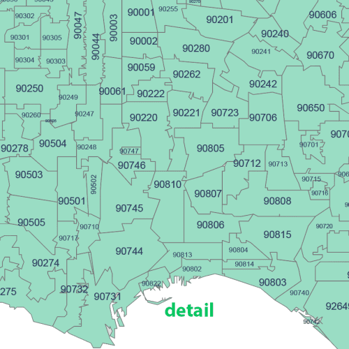
CA ZIP Code Map Cities And Counties
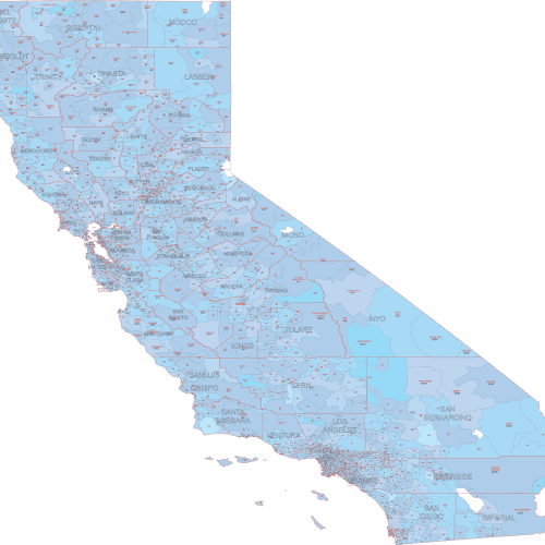
CA ZIP Code Map Cities And Counties Created using U.S. Census data, it displays only standard ZIP Codes with geographic extents.
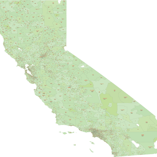
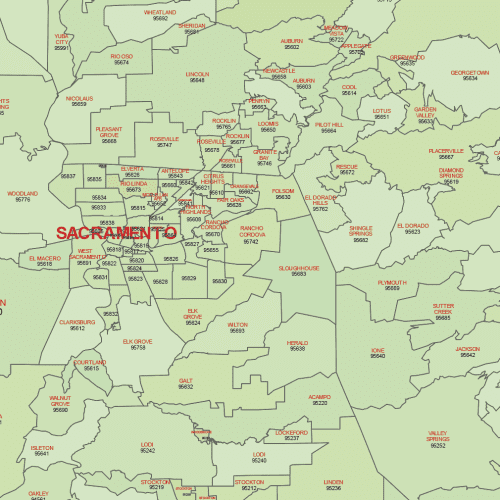
California ZIP Code Map With Cities
California ZIP Code Map With Cities only ZIP Codes with land area are shown, based on the latest U.S. Census boundaries.
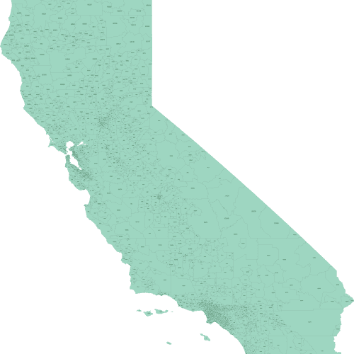
California Zip Code Map Basic
California Zip Code Map Basic. Adobe Illustrator (2022) and Layered PDF file. Data sourced from the U.S. Census. Price:$12-15
Explore a range of ZIP Code maps for California, available in three versions: a basic schematic layout, a full-color version with city names, and a detailed edition with counties and ZIP-city overlays.
Each map is based on U.S. Census boundary data and includes only ZIP Codes with geographic land areas — PO Box-only ZIPs are excluded.
Delivered in high-resolution, editable formats (AI and layered PDF), these maps are ideal for use in planning, design, logistics, and analysis.
Includes ZIP Code coverage from major cities to rural areas, such as Los Angeles (90001–90089), San Francisco (94102–94134), San Diego (92101–92199), Sacramento (95814), Fresno (93701).

