“Arlington-Virginia Vector Map” has been added to your cart.
Birmingham, Alabama Vector Map
0 out of 5
45,00 $
Category: City Maps
AI customizable styling, scalabilityPDF cross-platform compatibility
- Description
- Reviews (0)
Description
Includes Neighborhoods, Streets & Landmarks
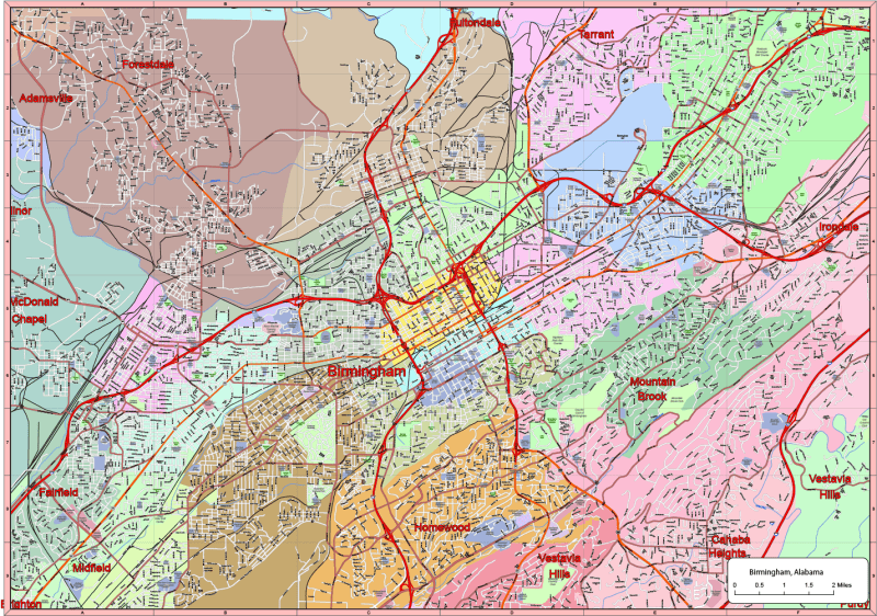
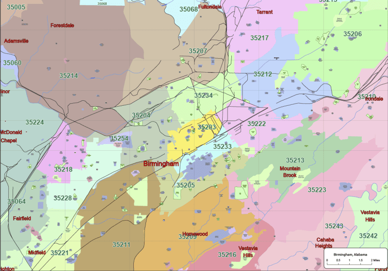
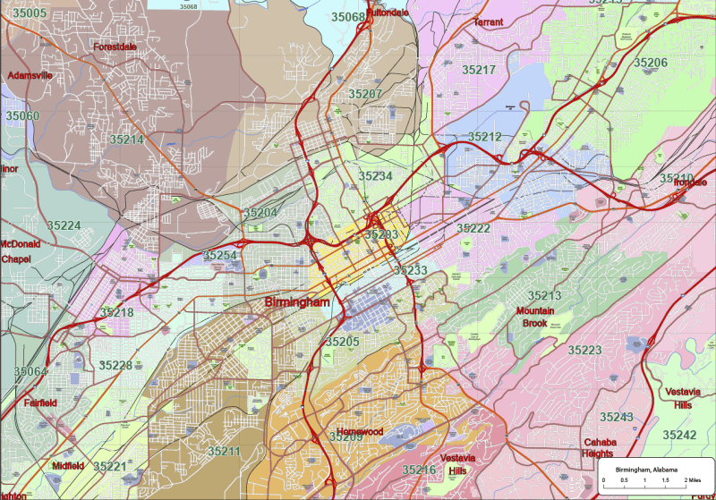
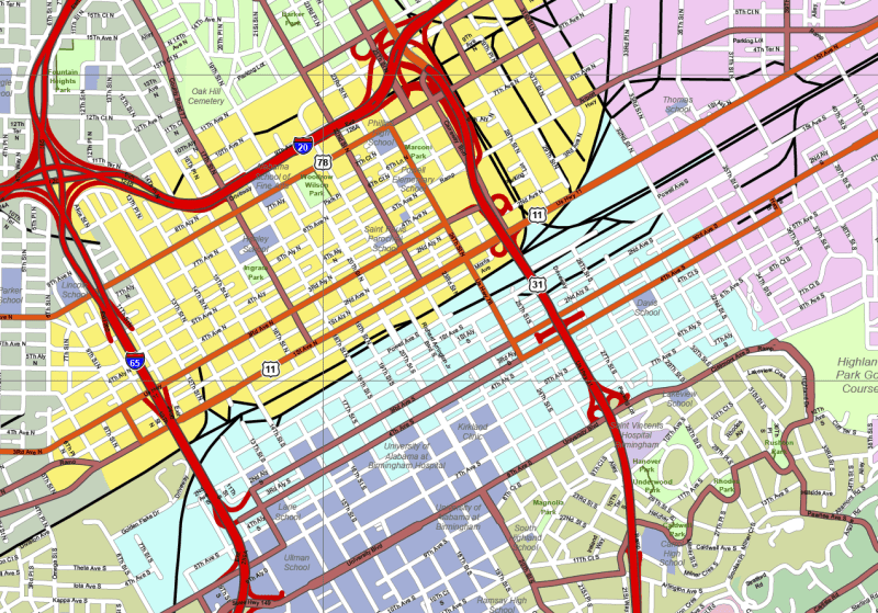
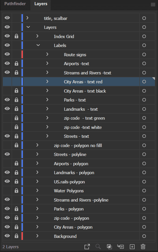
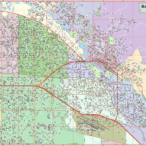
Bring precision and style to your next design, planning, or mapping project with this professional-grade vector map of Birmingham, Alabama. Crafted for Adobe Illustrator 2022, this editable map spans approximately 150 square miles, showcasing the city’s road networks, landmarks, parks, zip code areas, and more — all organized into 17 editable layers.
From major roads and highways to neighborhood streets, this map provides a clear and detailed layout of the city. It includes key areas like Downtown Birmingham, Homewood, Vestavia Hills, Mountain Brook, Tarrant, Fairfield, Irondale, and more.
Key Features:
- ✅ 17 Customizable Layers for effortless editing, including:
- Route signs: highway, state highway, expressways
- Local streams, rivers, and water bodies (text & shapes)
- Zip code borders and numbers
- Landmarks and parks (text & polygons)
- Airport names and areas
- Streets, city areas, and US railways
- ✅ Available City Areas:
- Forestdale, Hooper City, East Lake, Bush Hills, English Village, Homewood, Chaba Heights, Vestavia Hills, Wylam, Irondale, Westwood, and Highland Park.
- ✅ Technical Specs:
- File format: Adobe Illustrator (.AI)
- Version: Compatible with Illustrator 2022+
- File size: ~15 MB
- High-resolution vectors with accurate geographic proportions
- All labels are editable as live text (not outlines)
Ideal For:
- Urban planners, GIS professionals, graphic designers, real estate developers, educators, and marketing agencies need a high-quality, scalable, and editable city map for Birmingham.

Reviews
There are no reviews yet.