Baton Rouge, Louisiana Vector Map
45,00 $
AI customizable styling, scalabilityPDF cross-platform compatibility
- Description
- Reviews (0)
Description
Adobe Illustrator (AI) Format with Zip Codes, Streets & Landmarks
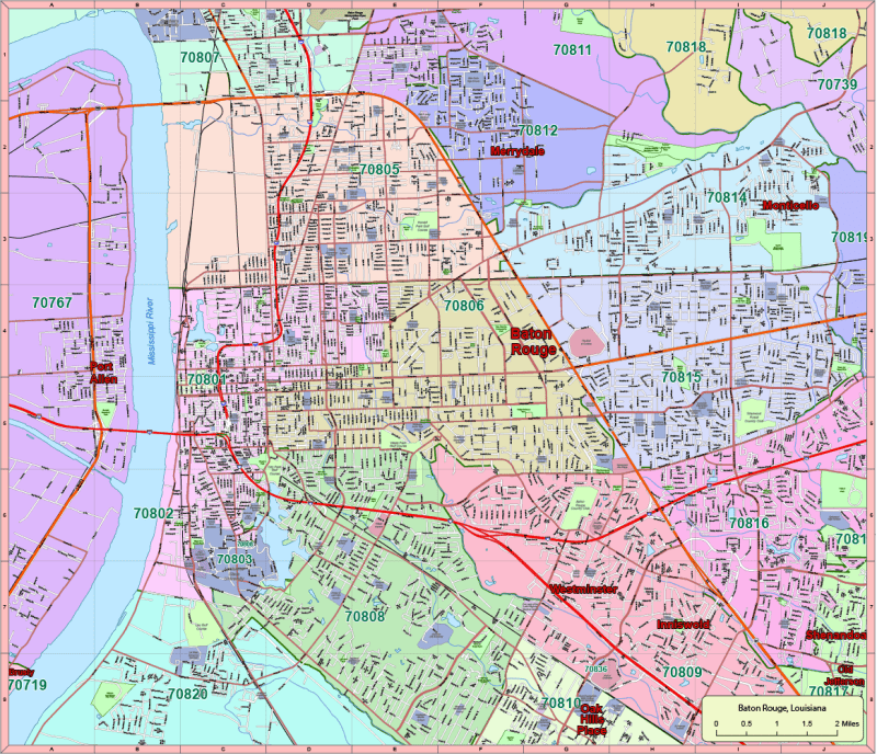
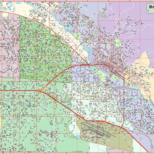
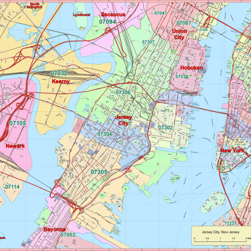
Explore Baton Rouge in detail with this professionally designed vector map, built for accuracy, customization, and ease of use in Adobe Illustrator 2022. Spanning 120 square miles, this map includes all major roads, neighborhood zones, zip codes, and critical local landmarks across the city.
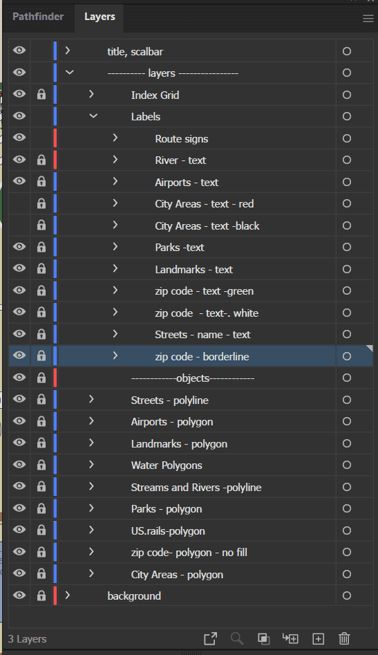
Perfect for urban planners, graphic designers, real estate professionals, and educators, the map is divided into 17 editable layers with precise labeling and scalable vector objects.
Key Features:
✅ 17 Fully Editable Layers
- Route signs (highways, expressways, state roads)
- City areas, airport text, and local river names
- Local landmarks: schools, hospitals, clinics, golf courses, parks
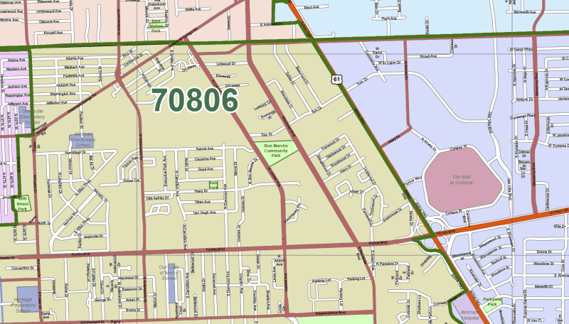
- Shopping centers including Mall of Louisiana
- Live text for zip codes and neighborhood names
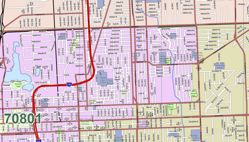
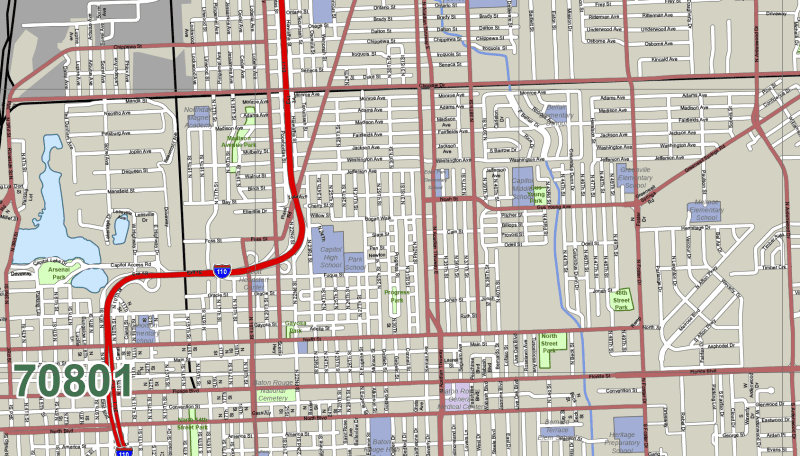
- Customizable streets, zip code boundaries, water features, rail lines, and more
✅ Local Landmarks & Areas Covered
Includes all major neighborhoods and subdivisions such as:
- Marriedale, MD City North, Howell Park, Lobdell/Woodale, Westdale Heights, Southdowns, Inneswood, Westminster, Highland Perkins, Oak Hills Place, Woodstone Estates, North Sherwood Forest
- Also includes zip codes like 70801, 70802, 70805, 70806, 70808, 70809, 70810, 70815, and surrounding areas
✅ File Details
- Format: Adobe Illustrator (.AI)
- Illustrator Version: 2022 and newer
- File Size: ~9 MB
- Fully scalable, editable, and color-coded
- High-precision geometry with clean street grids and boundary zones
Great For:
✔️ City planning
✔️ Marketing presentations
✔️ Educational or GIS projects
✔️ Real estate analysis and zoning

Reviews
There are no reviews yet.