Australia Road and City Map
39,90 $
AI customizable styling, scalabilityPDF cross-platform compatibility
- Description
- Reviews (0)
Description
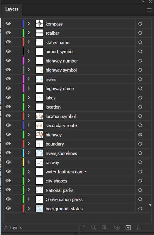
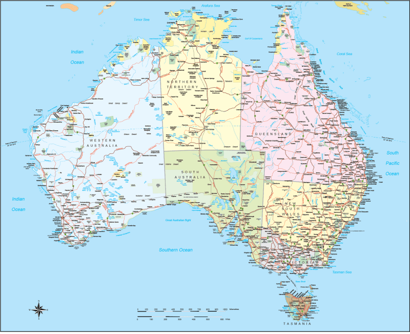
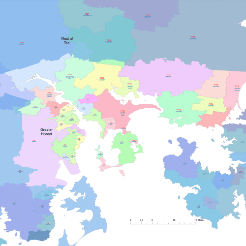
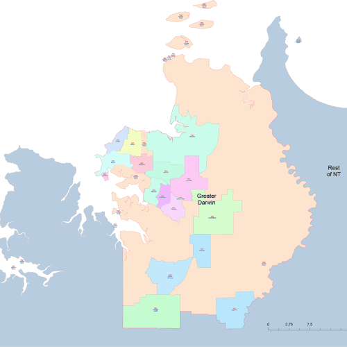
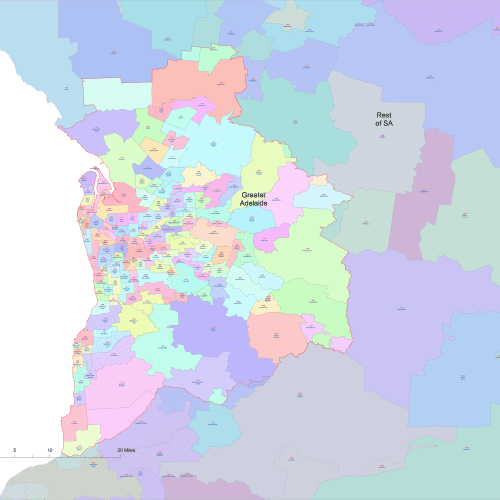
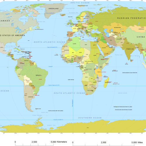
Explore Australia Road and City map in stunning detail with this high-quality vector map, designed for professionals and creatives alike. This Illustrator 2022-compatible file features 21 well-organized layers, covering essential geographical and infrastructural details. Perfect for designers, publishers, and cartographers, this map offers editable elements for complete customization.
Key Features:
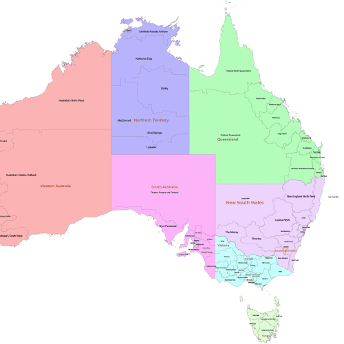
States & Territories – Clearly defined borders with labeled names
Major & Secondary Roads – Includes highways, secondary routes, and highway numbers
Transportation Hubs – Airports, railway lines, and key transit points
Water Features – Rivers, lakes, shorelines, and national parks
Location Markers – Over 550 labeled cities, towns, and significant locations
Scale Bars – Both mile and kilometer-scale for accurate distance measurements
Whether you’re designing travel guides, infographics, or educational materials, this 2MB vector file delivers precision and flexibility.
Only logged in customers who have purchased this product may leave a review.

Reviews
There are no reviews yet.