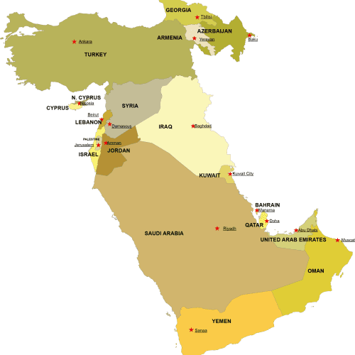
Western Asia Digital Map
Western Asia Digital Map – High-quality vector files in AI & PDF. Instantly downloadable for just $10-$12. Perfect for PowerPoint and & students!
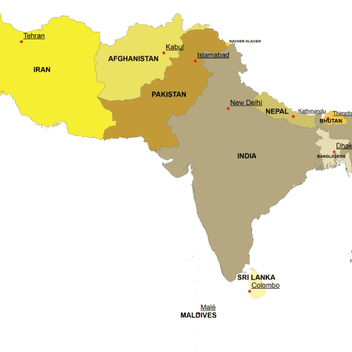
Southern Asia Digital Map
Southern Asia Digital Map – Adobe Illustrator & Layered PDF. Instant download, high-quality vector files. Get yours now for just $10-$12!
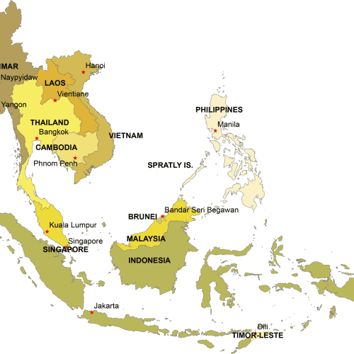
Southeast Asia Digital Map
Southeast Asia Digital Map – Adobe Illustrator & Layered PDF. Instant download, high-quality vector files. Get yours now for just $10-$12!
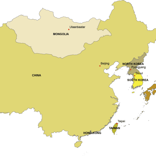
Eastern Asia Digital Map
Eastern Asia Digital Map. 6 countries on separate layers. Instant download files. Adobe Illustrotr (2022) and Layered PDF file
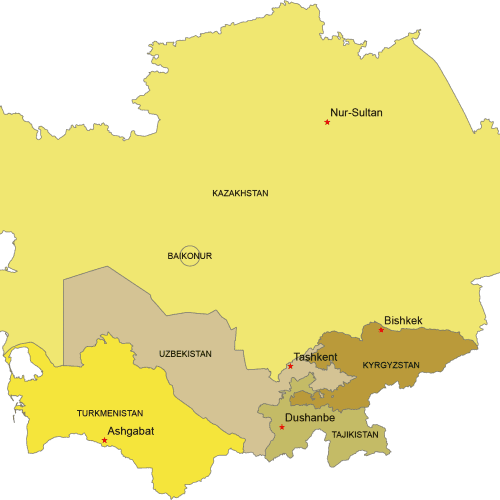
Central Asia Digital Map
Central Asia Digital map. Countries with capitals. Adobe Illustrator and Layered PDF file
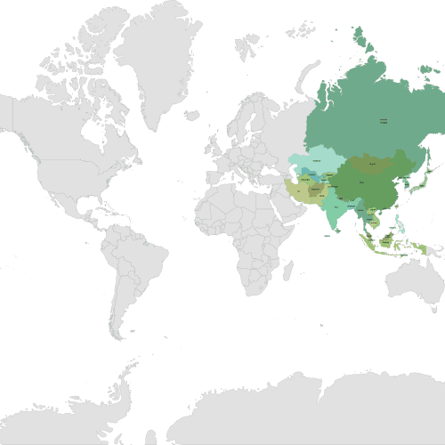
Asia Continent on a Layered World Map
Asia Continent on a Layered World Map. This map showcases the Asia continent with each country on a separate layer for easy customiration.
Explore Asia with Precision & Clarity
Discover a collection of simple, yet highly functional maps of Asia, designed for easy reference and seamless integration into your projects. Whether you need a full continent-wide view or a focus on East, West, Southeast, or Central Asia, these maps offer clear country delineation with distinct colors and marked capitals (denoted by stars).
📌 Key Features:
✔ Editable & Scalable – Available in Adobe Illustrator & Layered PDF formats for customization.
✔ Accurate Projection – Created in Web Mercator (the same as Google & Bing Maps) for a familiar look.
✔ Instant Access – Download your files immediately after payment confirmation – no waiting!
Perfect for educational materials, presentations, reports, or design projects—get your high-quality maps now and bring your visuals to life!

