Guard your time. It's all you have. Naval Ravikant
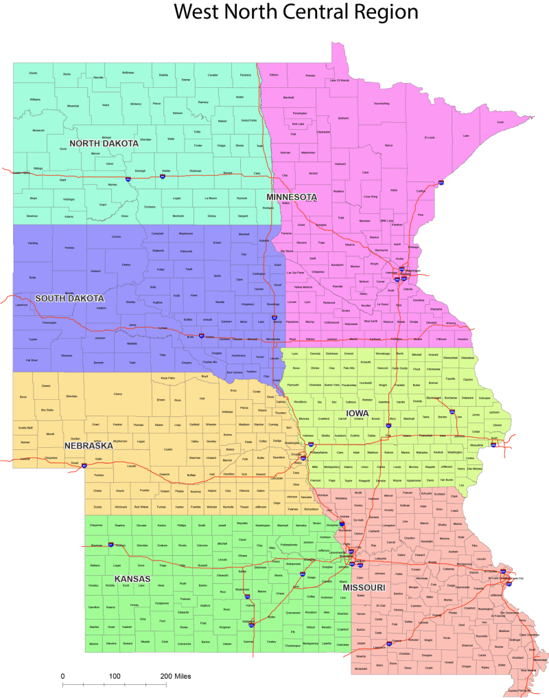
West North Central County Map
0 out of 5
34,90 $ – 39,90 $Price range: 34,90 $ through 39,90 $
Category: USA Tags: US regions, 🇺🇸
AI customizable styling, scalabilityPDF cross-platform compatibility
- Description
- Reviews (0)
Description
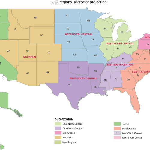
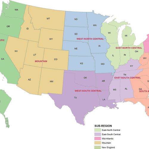
🗺️ US Regions Map – West North Central County Map (Vector File)
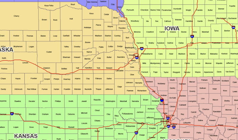
North Dakota, Minnesota, South Dakota, Iowa, Nebraska, Kansas, Missouri county map
This high-quality vector map of the United States by region is designed using the West North Central County Map, which is perfect for accurate, proportional mapping of the U.S.
🔹 What’s Included:
- Adobe Illustrator (.AI) file – fully editable and layered
- Layered PDF – easy to open, print, or edit in most design software
🎨 Map Features:
- Colored by Region – Each region is color-coded for quick visual grouping
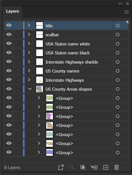
- State Shapes Grouped by States – Easily select, move, or edit regions as separate vector groups
- All county names – clean, legible labeling across all 7 states
- Web Mercator Projection –(as Google Map) A distortion-balanced projection ideal for regional U.S. data visualization
- Clean Layer Structure – Organized by regions, labels, and base map for easy editing
📍 Perfect for:
- Data visualization projects
- Educational materials
- Infographics and posters
- Print or web design
- Business presentations with geographic components
Only logged in customers who have purchased this product may leave a review.
Related Products
USA
Detailed US Vector Map – Atlas Style
0 out of 5
23,90 $ – 24,90 $Price range: 23,90 $ through 24,90 $
USA
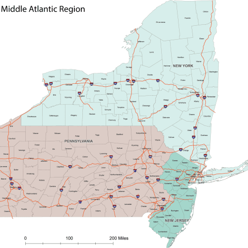
ProGrade Middle Atlantic County Map
0 out of 5
19,90 $ – 24,90 $Price range: 19,90 $ through 24,90 $


Reviews
There are no reviews yet.