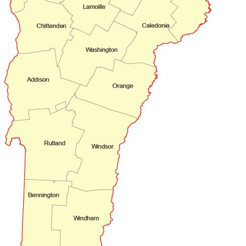
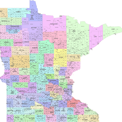
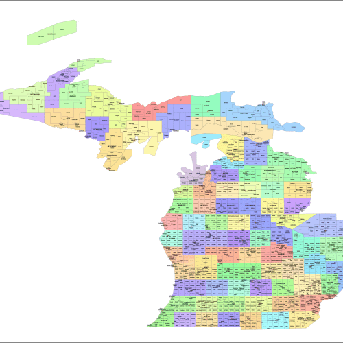
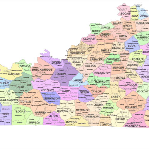
Description
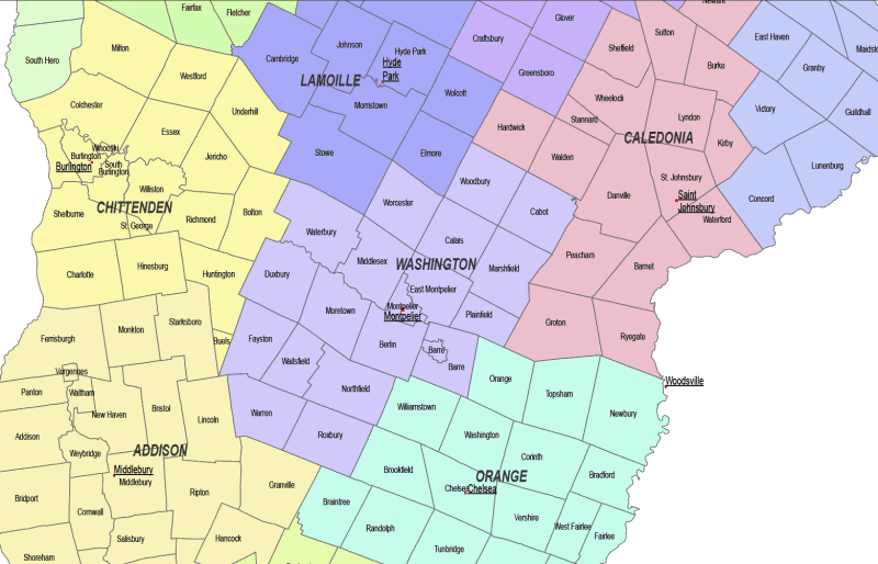
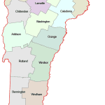
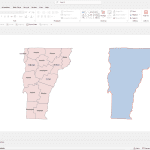
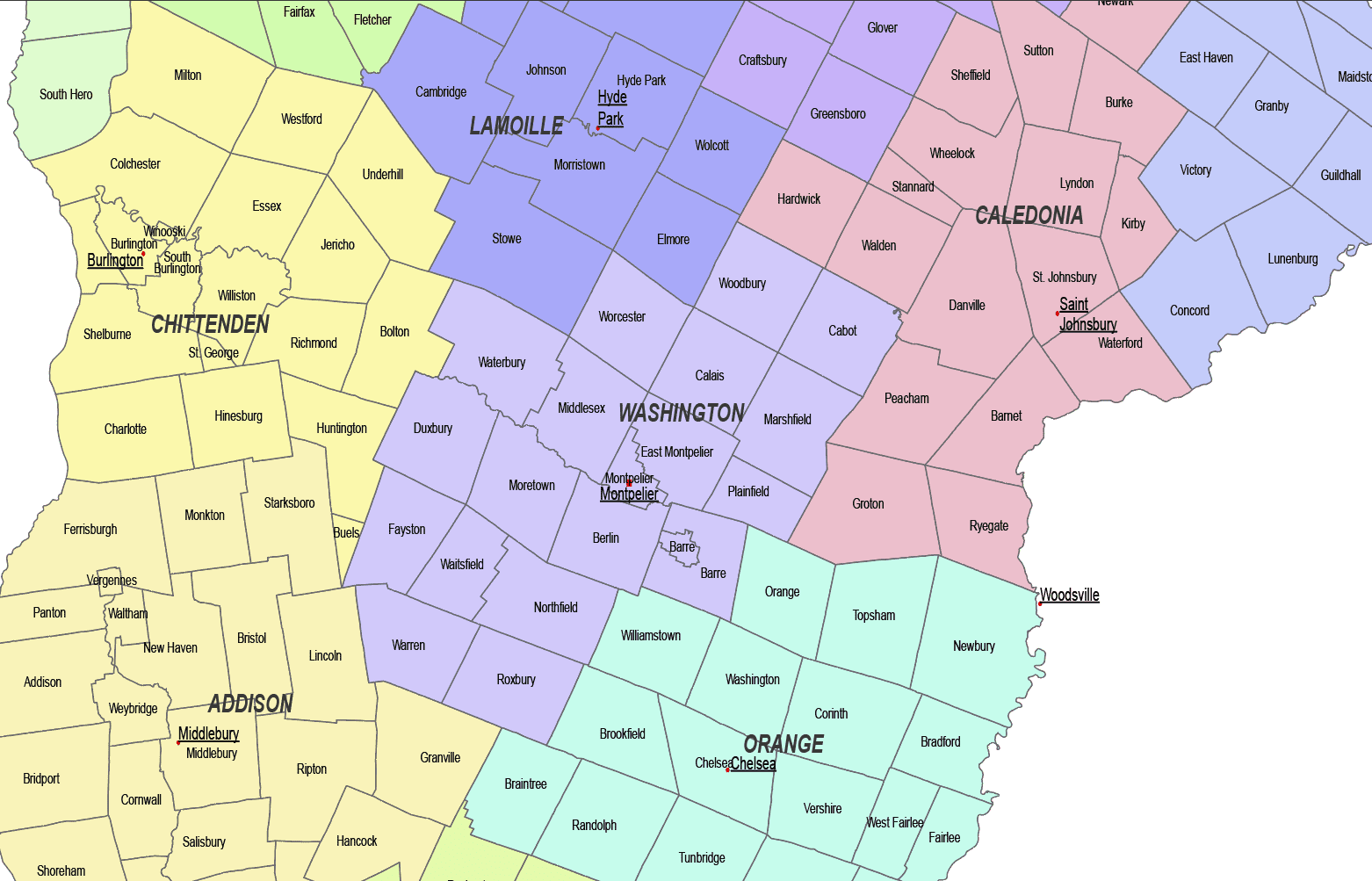
The Vermont Subcounty Map showcases cities, districts, villages, boroughs, barrios, townships, and precincts in a detailed Adobe Illustrator artwork. It includes all counties and subcounties, with each area and its boundaries clearly labeled for easy reference. Drawing from U.S. Census data, this map offers accurate and up-to-date information on Texas’s diverse regions.
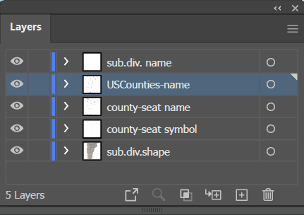
County seats are featured on a separate layer for easy identification, and distinct colors are used to differentiate counties and their subdivisions. Whether you are working with urban districts in Montpelier or rural areas in Chittenden County, this map provides comprehensive geographic details for various levels of administrative divisions across the state.
With clear labeling, precise boundaries, and scalable formats, the Vermont County and Communities Map is an invaluable tool for urban planning, demographic analysis, marketing, and more.
Only logged in customers who have purchased this product may leave a review.


Reviews
There are no reviews yet.