County map of Contiguous US
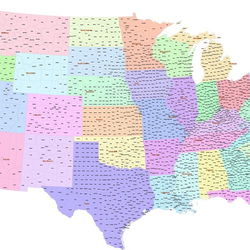
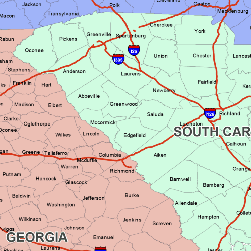
County map of Contiguous US refers to the 48 adjoining states. 3.002 counties and parishes colored by states. The map has the Albert Equal projection
East South Central Region Map
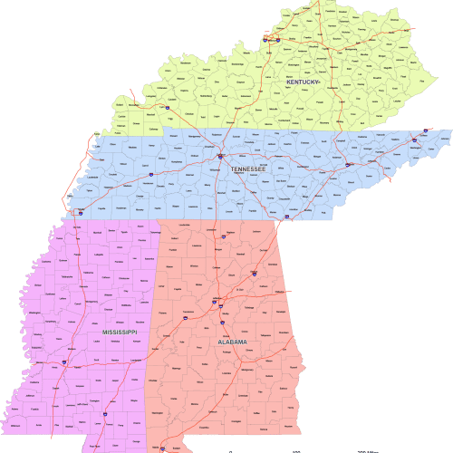
East South Central Region map is designed using the East South Central County Map—perfect for accurate, proportional mapping of the U.S.
Minimalist US Vector Map
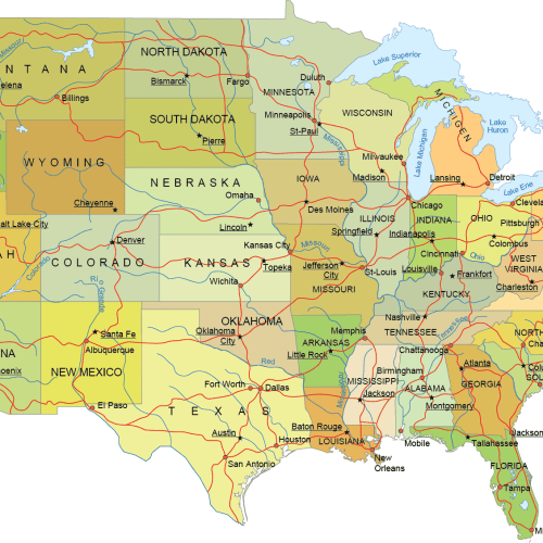
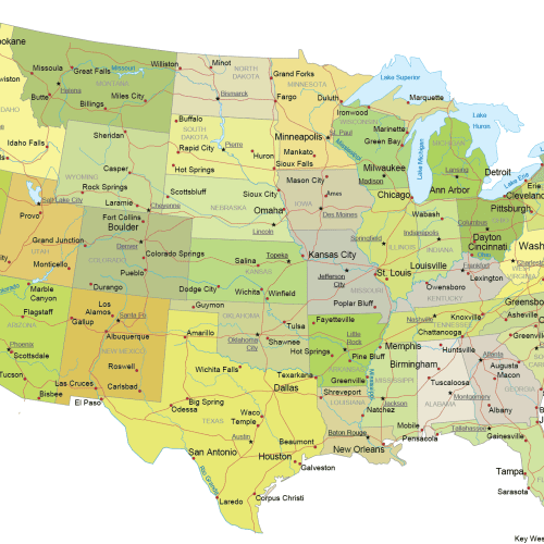
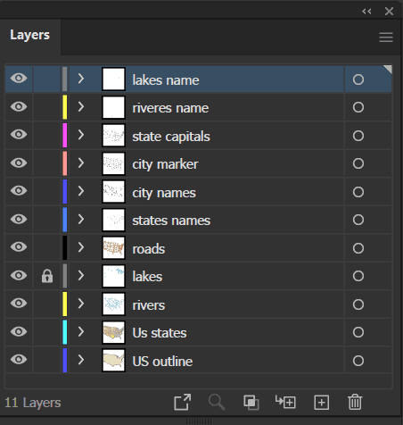
Minimalist US Vector Map Contiguous States with Roads & Capitals. Mercator cut-out map. Illustrator and PDF file.
Detailed US Mercator Map
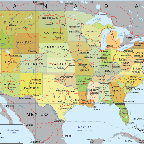
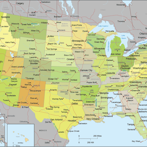
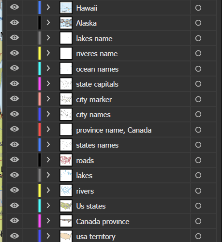
Detailed US Mercator Map Covers adjacent regions: Canada (with provinces), Mexico, major oceans, and key natural landmarks
Internal US Map with Roads and Capitals
Internal US Map with Roads and Capitals. State capitals and major cities are precisely placed for easy identification—Adobe Illustrator file.
Detailed US Vector Map – Atlas Style
Detailed US Vector Map – Atlas Style Albers AE, The Pancake Map, Conic Classic, Illustrator USA Map
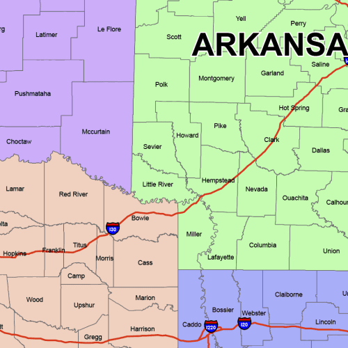
West South Central County Map
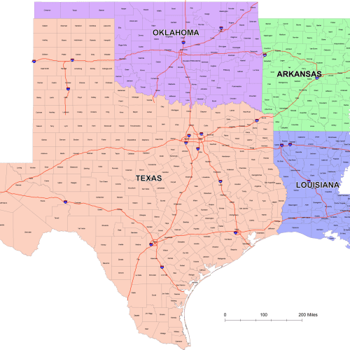
West South Central County Map
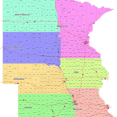
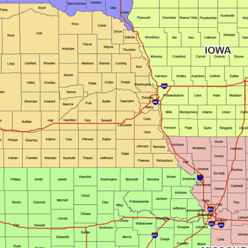
West North Central County Map
West North Central County Map: 7 state maps with county names. This is a fully editable, layered AI and PDF file—instant download.
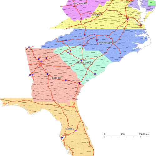
South Atlantic Region Counties
South Atlantic Region Counties colored by states – Each state is color-coded for quick visual grouping. Adobe Illustrator file
U.S. Vector Maps – States, Regions & National Projections
Browse our professionally designed collection of United States vector maps, available in Adobe Illustrator and layered PDF formats. This category includes a wide range of editable, high-resolution maps tailored for designers, educators, publishers, and GIS professionals.
Included Map Types:
- USA Internal Maps
- Full national maps with internal divisions (states and counties)
- Available in both Mercator and Albers Equal Area Conic projections
- USA with Neighboring Countries
- U.S. Regional County Maps
- Regional breakdowns with county-level detail
- Separate files for:
- U.S. Regions – Global View
- Composite maps showing all regions in one file
- Provided in both projection types for geographic accuracy
- 50 State Silhouette Map
- One map file containing 50 separate state outlines, each on its own layer
- Ideal for customizing, highlighting, or creating individual state maps
File Formats:
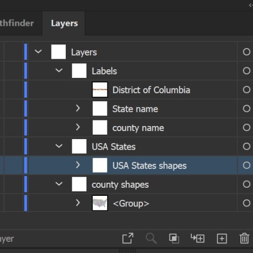
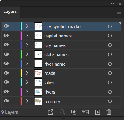
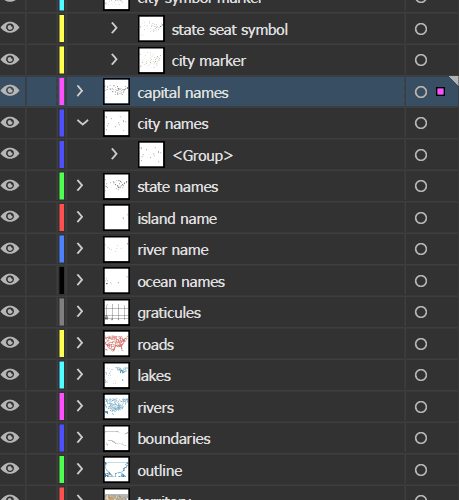
- Adobe Illustrator (.AI) – fully editable, organized layers
- Layered PDF – optimized for print, web, or general use
These maps are perfect for creating custom infographics, editorial content, educational tools, and government or corporate presentations. All files are high-quality, professionally organized, and designed to save you time on your next project.

