Guard your time. It's all you have. Naval Ravikant
USA 35,00 $ Original price was: 35,00 $.29,90 $Current price is: 29,90 $.
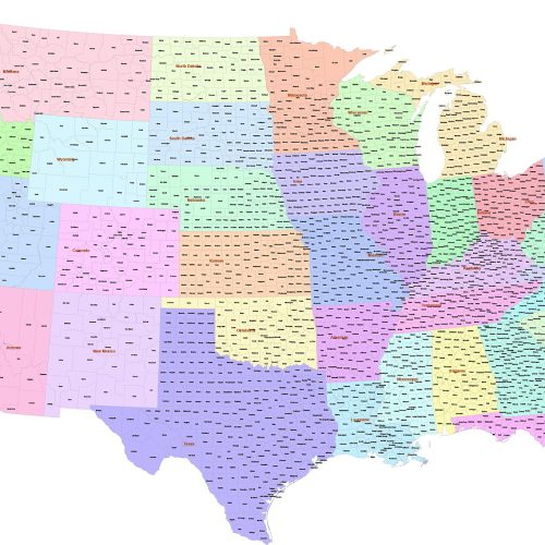
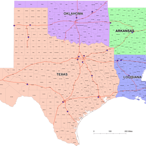
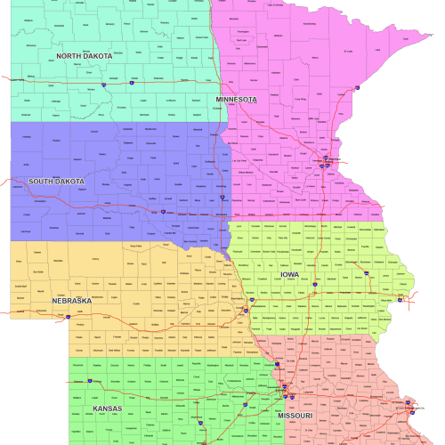
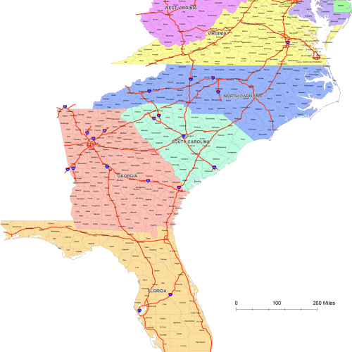
County map of Contiguous US
0 out of 5
USA
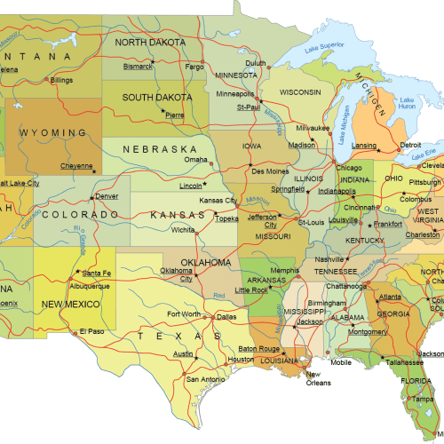
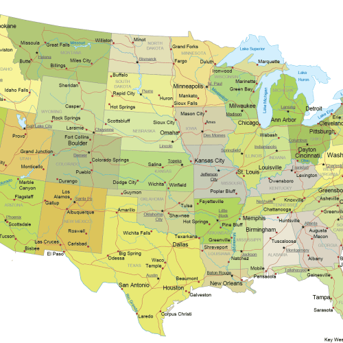
Internal US Map with Roads and Capitals
0 out of 5
17,90 $ – 19,90 $Price range: 17,90 $ through 19,90 $
USA
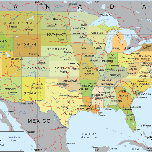
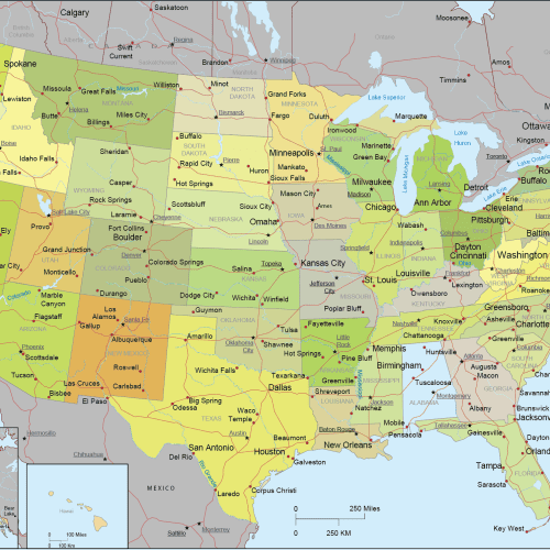
Detailed US Vector Map – Atlas Style
0 out of 5
23,90 $ – 24,90 $Price range: 23,90 $ through 24,90 $
U.S. Vector Maps – States, Regions & National Projections
Browse our professionally designed collection of United States vector maps, available in Adobe Illustrator and layered PDF formats. This category includes a wide range of editable, high-resolution maps tailored for designers, educators, publishers, and GIS professionals.
Included Map Types:
- USA Internal Maps
- Full national maps with internal divisions (states and counties)
- Available in both Mercator and Albers Equal Area Conic projections
- USA with Neighboring Countries
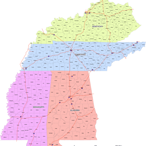
- U.S. Regional County Maps
- Regional breakdowns with county-level detail
- Separate files for:
- U.S. Regions – Global View
- Composite maps showing all regions in one file
- Provided in both projection types for geographic accuracy
- 50 State Silhouette Map
- One map file containing 50 separate state outlines, each on its own layer
- Ideal for customizing, highlighting, or creating individual state maps
File Formats:
- Adobe Illustrator (.AI) – fully editable, organized layers
- Layered PDF – optimized for print, web, or general use
These maps are perfect for creating custom infographics, editorial content, educational tools, and government or corporate presentations. All files are high-quality, professionally organized, and designed to save you time on your next project.

