Guard your time. It's all you have. Naval Ravikant
South Dakota SD
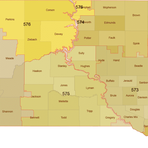
South Dakota 3-Digit ZIP Code Map with Counties — Vector Map
0 out of 5
12,00 $ – 15,00 $Price range: 12,00 $ through 15,00 $
USA 35,00 $ Original price was: 35,00 $.29,90 $Current price is: 29,90 $.
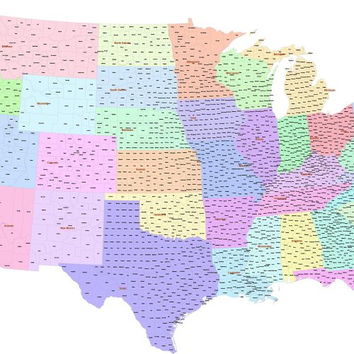
County map of Contiguous US
0 out of 5
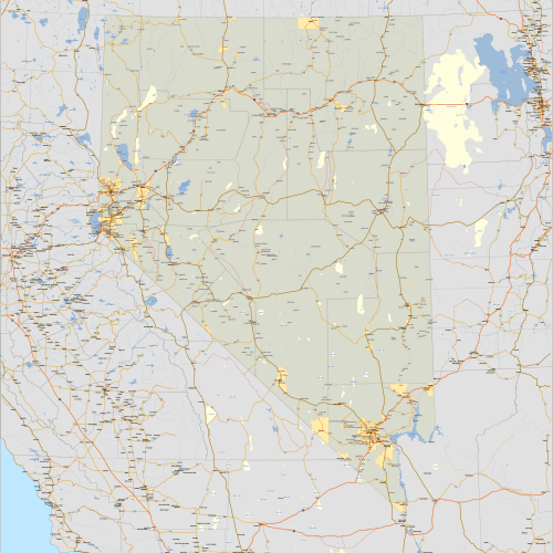
Nevada NV
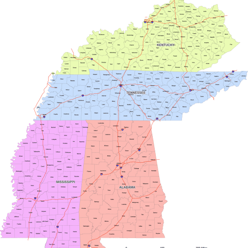
Nevada and Surrounding States
0 out of 5
49,90 $ – 59,00 $Price range: 49,90 $ through 59,00 $
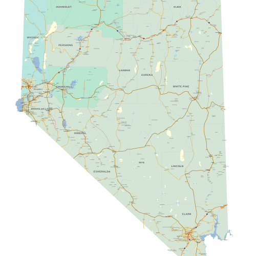
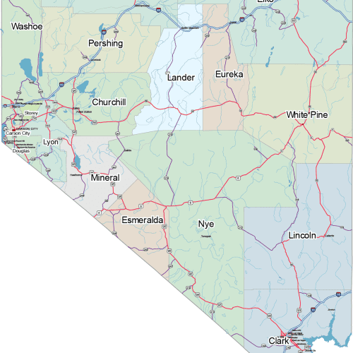
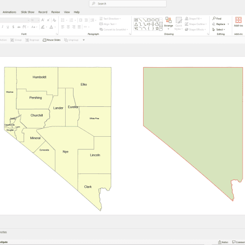
Nevada NV
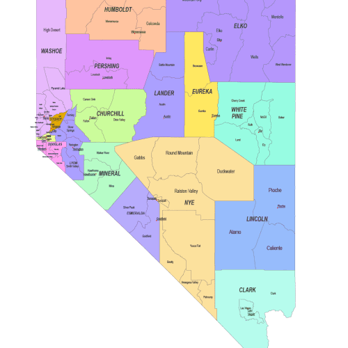
Nevada County and Communities Map
0 out of 5
14,90 $ – 19,90 $Price range: 14,90 $ through 19,90 $
Comprehensive Maps of the United States – From Simple to Detailed
Explore an extensive collection of U.S. maps, ranging from basic contour maps to detailed, multi-layered vector maps. Whether you need a simple state outline, county-level divisions, or fully detailed road and city maps, this collection offers the perfect solution for every need.
📌 Available Map Categories:
✔ Contourline Maps – Clean, simple outlines for unlimited design possibilities. (Free download!)
✔ Monochrome County Maps – County boundaries labeled for clarity.
✔ Colored County Maps – Counties distinguished by color for enhanced readability.
✔ Communities Maps – County subdivisions highlighted, including county seats.
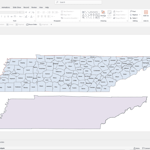
✔ PowerPoint-Ready Maps – Instantly usable in PPTX format for presentations.
✔ Road & City Maps – The most detailed maps, featuring major roads, cities, rivers, and more, with up to 12 layers.
🖌 Format & Accessibility:
- Professionally designed in Adobe Illustrator (2022)
- File Types: AI & Layered PDF
- Instant Download – Get your files immediately after payment—no waiting!
Whether for education, business, research, or design, find the perfect U.S. map for your project and start creating today!

