Guard your time. It's all you have. Naval Ravikant
Tennessee Communities Map – Detailed Sub-County Vector File
0 out of 5
17,90 $ – 19,90 $Price range: 17,90 $ through 19,90 $
Category: Tennessee TN Tags: subcounty map, townships map, USA states
AI customizable styling, scalabilityPDF cross-platform compatibility
- Description
- Reviews (0)
Description
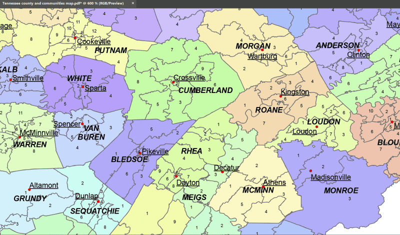
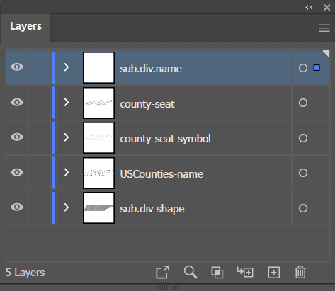
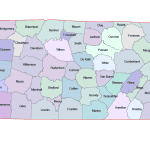
The Tennessee County and Communities Map showcases cities, districts, villages, boroughs, barrios, townships, and precincts in a detailed Adobe Illustrator artwork. It includes all counties and subcounties, with names clearly labeled for easy reference. County seats are featured on a separate layer, while distinct colors differentiate counties and their subdivisions.
In Tennessee, sub-county divisions are primarily organized as Census County Divisions (CCDs), which are statistical areas used by the U.S. Census Bureau. These divisions help present data more granularly than counties, especially in rural areas that lack incorporated municipalities. CCDs in Tennessee often reflect historical communities, geographical features, or local usage. While they have no governmental authority, CCDs are useful for regional planning, demographic analysis, and mapping projects. Their boundaries can change over time to better represent population shifts and community identities.
Only logged in customers who have purchased this product may leave a review.
Related Products
Tennessee TN
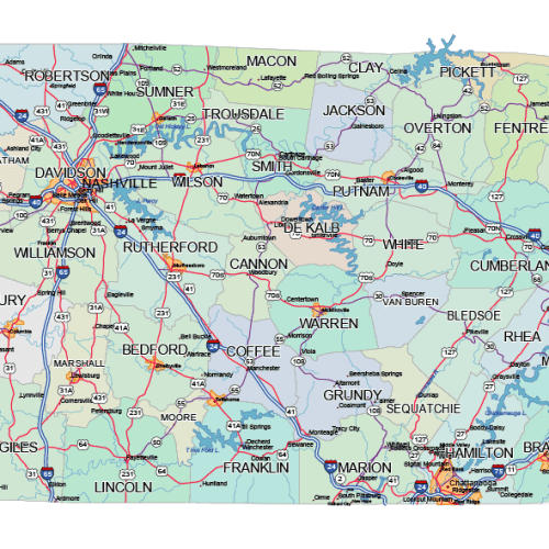
Tennessee Road and City Map
0 out of 5
39,90 $ – 45,00 $Price range: 39,90 $ through 45,00 $
Minnesota MN
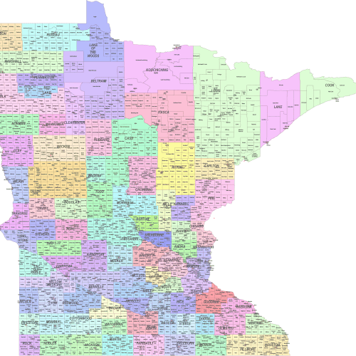
Minnesota County and Communities Map
0 out of 5
24,90 $ – 29,90 $Price range: 24,90 $ through 29,90 $
Massachusetts MA
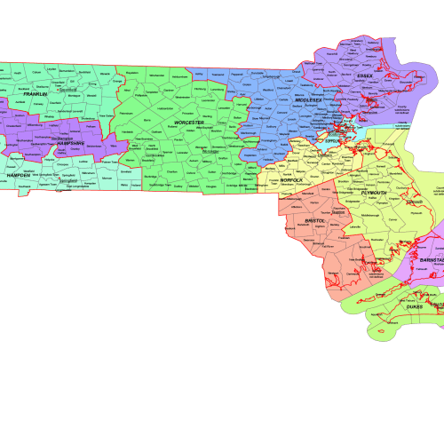
Massachusetts County and Communities Map
0 out of 5
19,90 $ – 24,90 $Price range: 19,90 $ through 24,90 $
Illinois IL
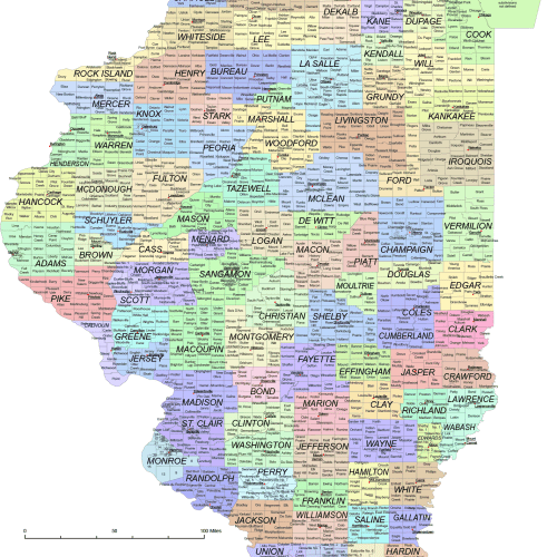
Illinois County and Communities Map
0 out of 5
24,90 $ – 29,90 $Price range: 24,90 $ through 29,90 $
Georgia GA
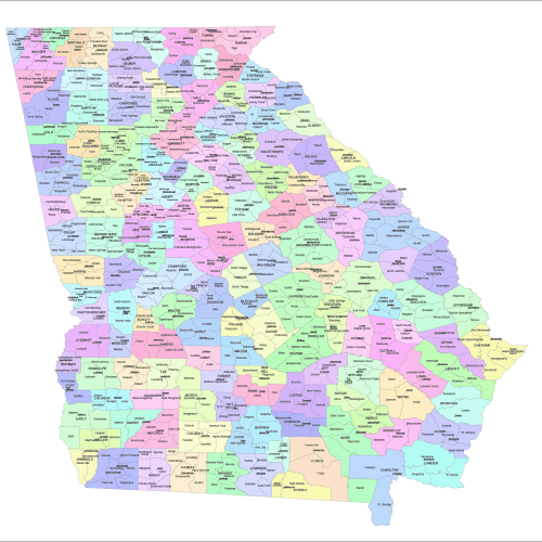
Georgia county and communities map
0 out of 5
20,00 $ – 25,00 $Price range: 20,00 $ through 25,00 $


Reviews
There are no reviews yet.