Guard your time. It's all you have. Naval Ravikant
South Pole From Space
0 out of 5
12,00 $ – 15,00 $Price range: 12,00 $ through 15,00 $
Category: Globe Maps Tags: Antarctica, Globe, Graticules, Rotated vector Globe artwork, South pole, style globe, vector, vector globe
AI customizable styling, scalabilityPDF cross-platform compatibility
- Description
- Reviews (0)
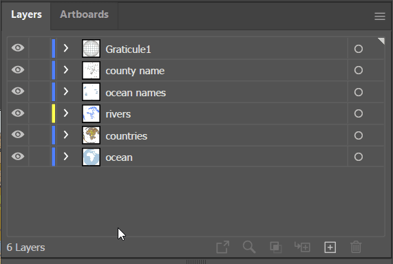
- Layers
Description
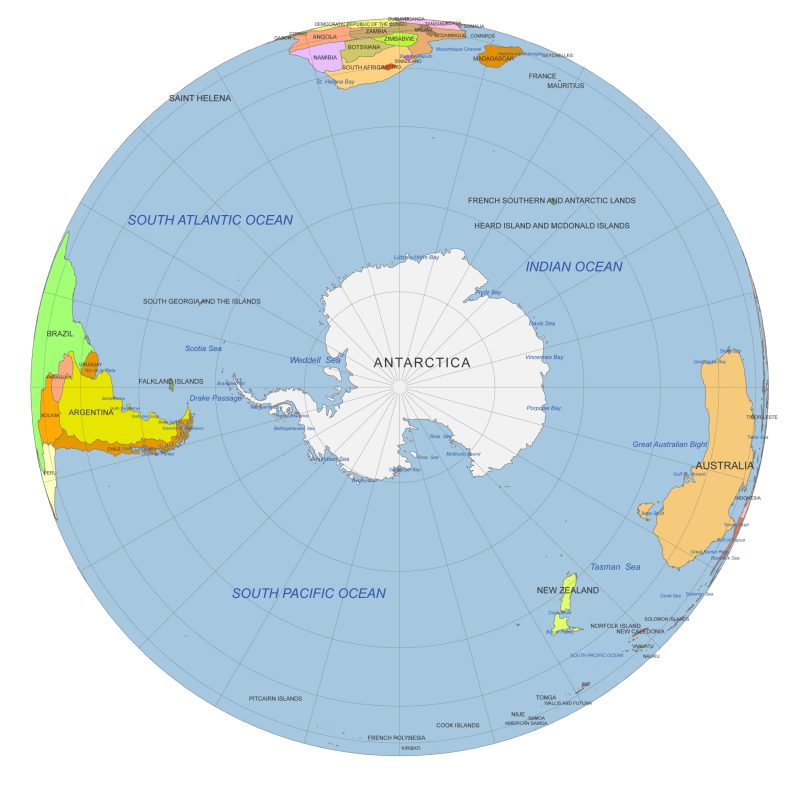
South Pole from Space – Antarctica & Southern Oceans Vector Globe
View the Earth from the bottom up with this striking South Pole–centered vector globe. Designed from a space-like perspective, this colorful map highlights Antarctica and its surrounding geographical features with precision and clarity.
Major landmarks and seas are labeled, including the Weddell Sea, Ross Sea, Amundsen Sea, Bellingshausen Sea, Drake Passage, Marguerite Bay, Prydz Bay, Davis Sea, and nearby regions such as the Tasman Sea, New Zealand, and parts of the Indian, South Pacific, and South Atlantic Oceans.
Graticules (latitude and longitude lines) are displayed at 30° intervals, adding geographic structure to the curved polar projection.
Included formats:
• Adobe Illustrator (.AI) – fully editable
• Layered PDF – high-resolution and print-ready
Ideal for educational use, data visualization, research, or unique polar-themed design projects
Only logged in customers who have purchased this product may leave a review.
- ocean -shape,
- river – line
- graticules – curves
- country name- text
- waterbody name- text
Related Products
World Maps
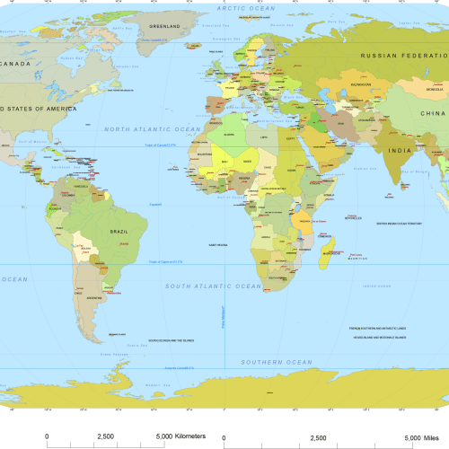
Vector World Map With Names
0 out of 5
19,70 $ – 19,90 $Price range: 19,70 $ through 19,90 $
Globe Maps
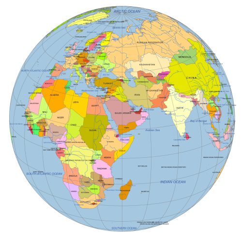
Near East Focused Colored Globe With Countries
0 out of 5
12,00 $ – 15,00 $Price range: 12,00 $ through 15,00 $
Globe Maps
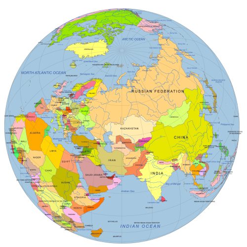
Near East And Central Asia On Globe
0 out of 5
12,00 $ – 15,00 $Price range: 12,00 $ through 15,00 $
Globe Maps
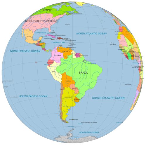
South America Globe Map PDF
0 out of 5
12,00 $ – 15,00 $Price range: 12,00 $ through 15,00 $
Globe Maps
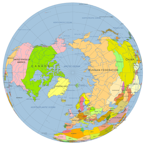
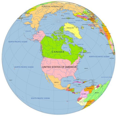
North America Centered Globe
0 out of 5
12,00 $ – 15,00 $Price range: 12,00 $ through 15,00 $

Reviews
There are no reviews yet.