
Related Products
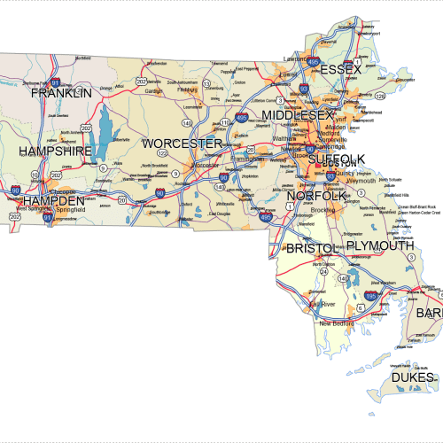
Massachusetts Road and City Map
Price range: 24,90 $ through 29,90 $
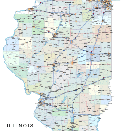
Illinois Road and City Map
Price range: 42,00 $ through 45,00 $
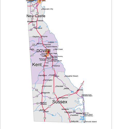
Delaware Road and City Map
Price range: 12,00 $ through 15,00 $
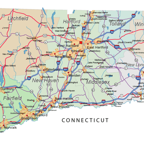
Connecticut Road and City Map
Price range: 30,00 $ through 35,00 $
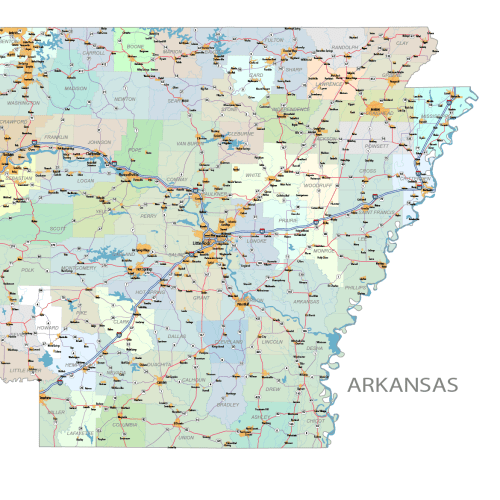
Arkansas Road and City Map
Price range: 42,00 $ through 45,00 $
Reviews
There are no reviews yet.