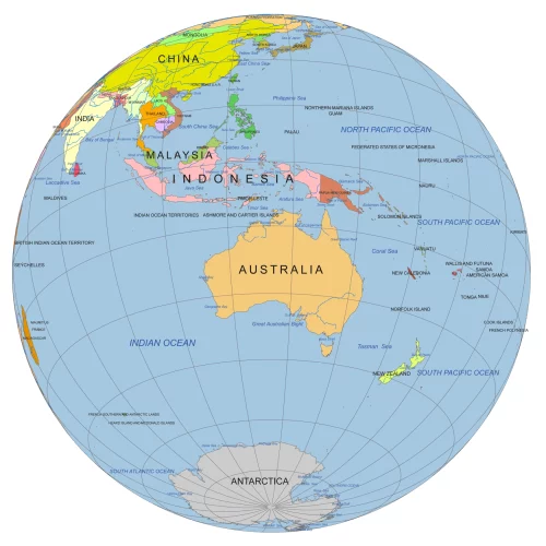
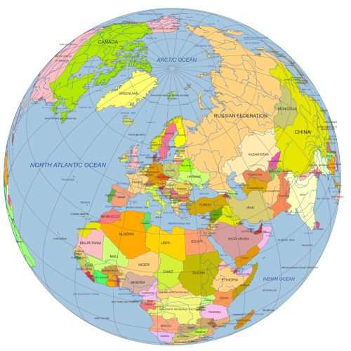
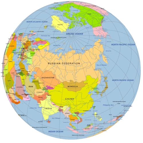
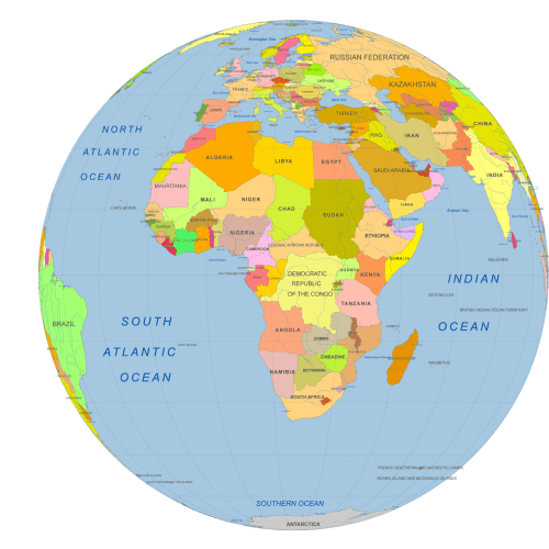
Description
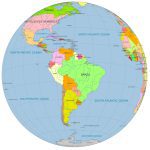
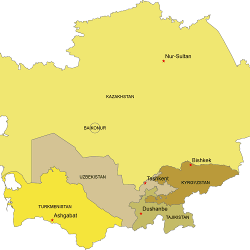
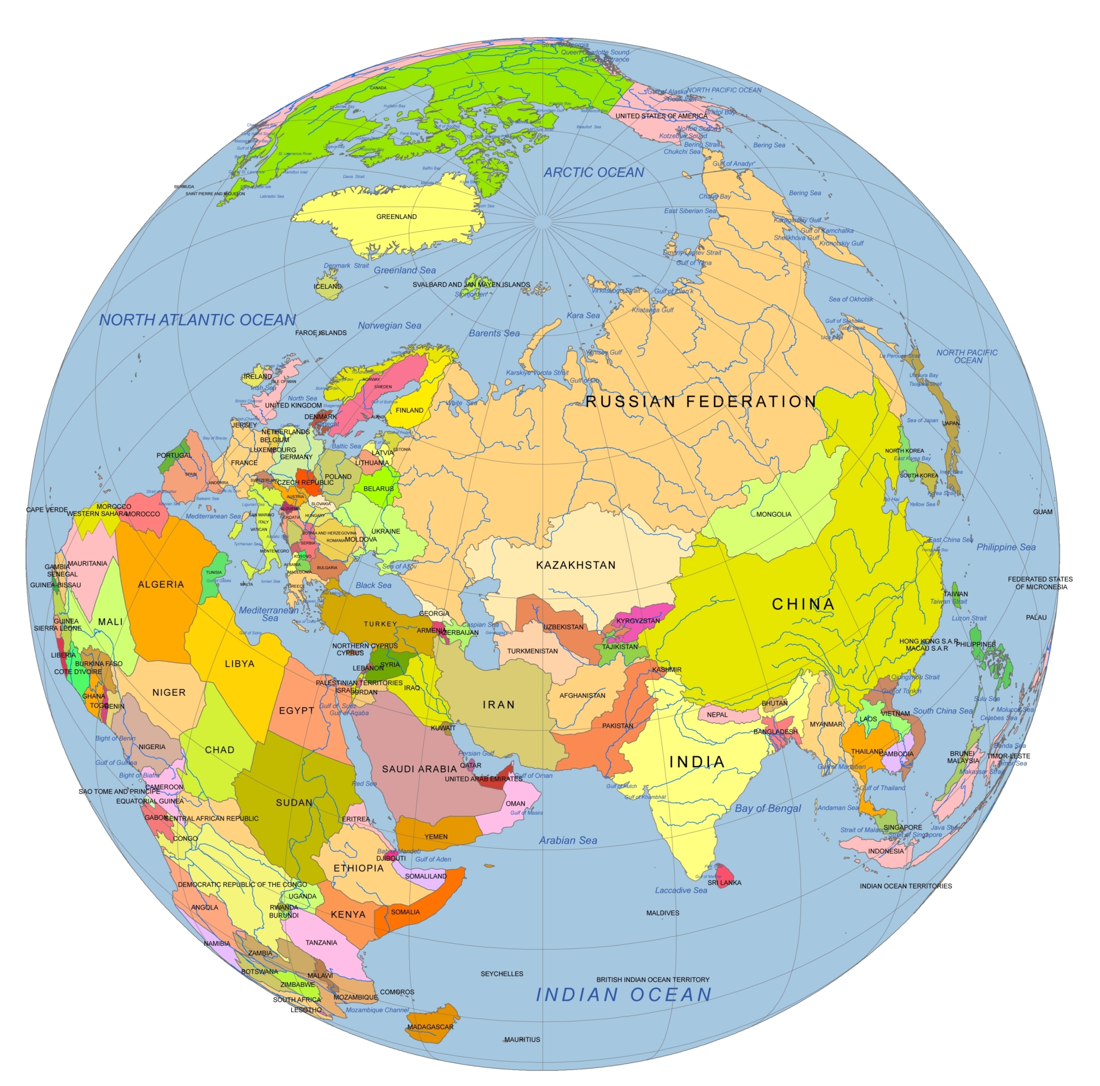
This professionally designed vector globe offers a detailed, the Near East and Central Asia. Rotated and tilted to 10°N, 80°W, the globe delivers a unique and visually engaging perspective that highlights key regions across Eurasia.
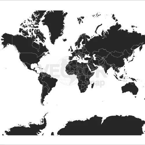
Perfect for use in print, presentations, and digital projects, the map includes clearly defined country boundaries, rivers, waterbodies, and graticules. Each element is organized in layers for easy editing and high-quality output.
Features of the Near East And Central Asia On Globe Map
- Globe centered on the Near East and Central Asia
- Rotated to 10°N, 80°W for geographic accuracy and visual balance
- Includes:
- Country outlines and names (text)
- Major rivers (line features)
- Waterbody names and shapes
- Ocean background
- Graticules (curved latitude/longitude lines)
File Details:
- Formats: Adobe Illustrator (.AI) and layered PDF
- Fully editable and scalable vector artwork
- Ideal for infographics, reports, educational use, or publishing
Bring clarity and style to your map-based designs with this ready-to-edit globe focused on one of the world’s most geopolitically important regions.
Only logged in customers who have purchased this product may leave a review.


Reviews
There are no reviews yet.