Description
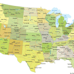
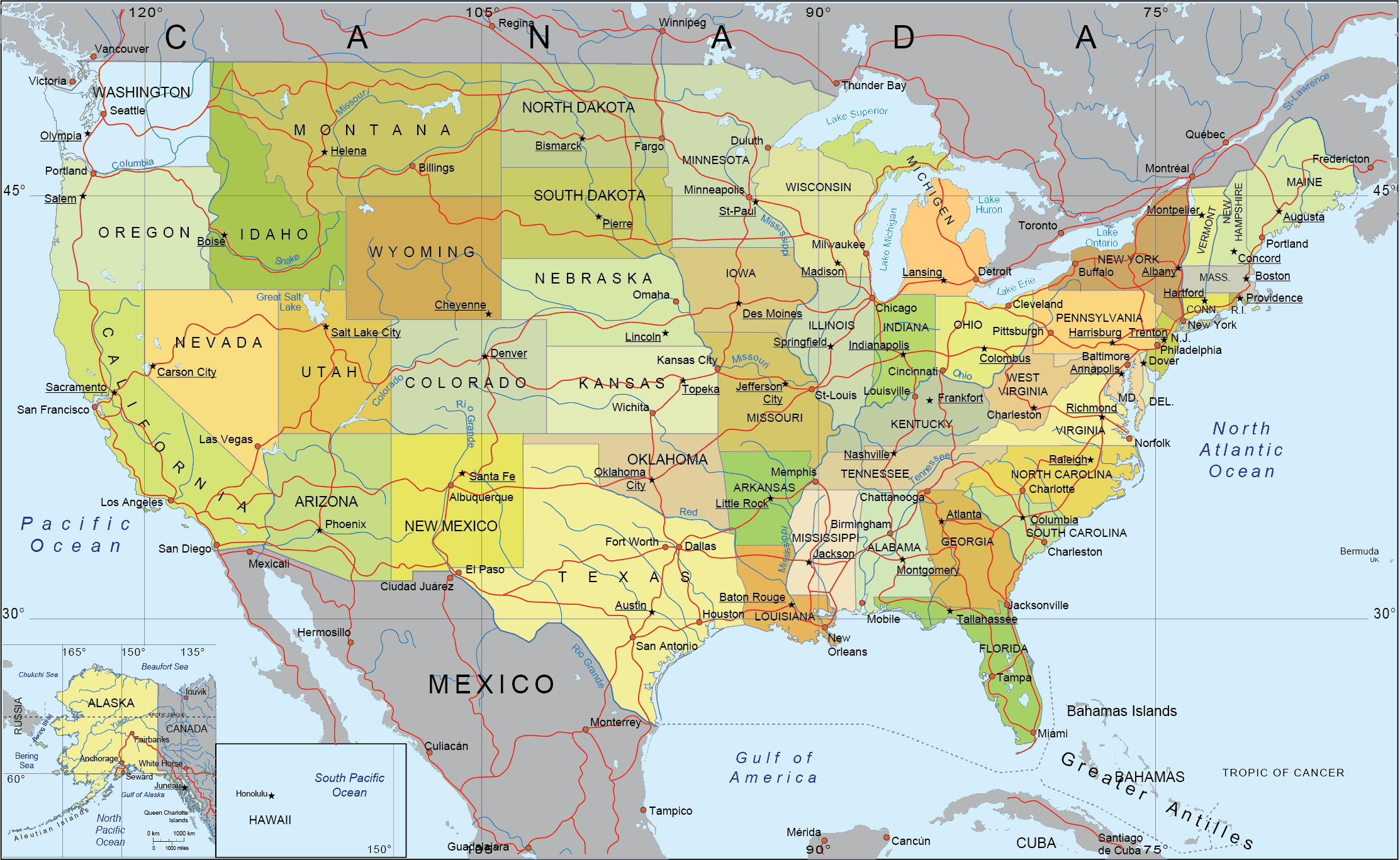
Detailed US Vector-Mercator Projection with this richly layered vector map of the United States. Designed in the style of a traditional atlas, this Illustrator-compatible file offers a comprehensive and highly editable layout perfect for print, digital, or educational use.
Features of detailed-us-vector-mercator-map
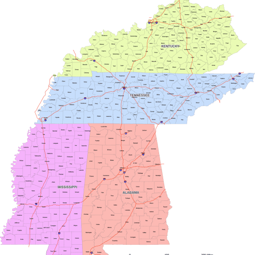
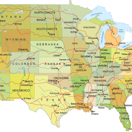
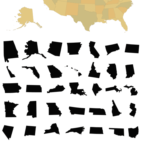
🗺️ Full US Coverage – Includes all 50 states with clearly defined boundaries and distinctive colors for each state
🌎 Surrounding Geography – Covers adjacent regions: Canada (with provinces), Mexico, major oceans, and key natural landmarks
🏙️ City Details – State capitals and major cities are precisely placed for easy identification
🛣️ Transportation Network – Major highways and roads for an accurate overview of US infrastructure
🌊 Hydrology – Includes the Great Lakes, major rivers, and coastal bays like the American Bay
🗃️ Inset Maps – Alaska and Hawaii included as separate inset maps for clarity and convenience
📐 Graticules & Coordinate Grid – Adds professional mapping accuracy and a polished appearance
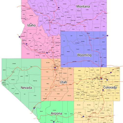
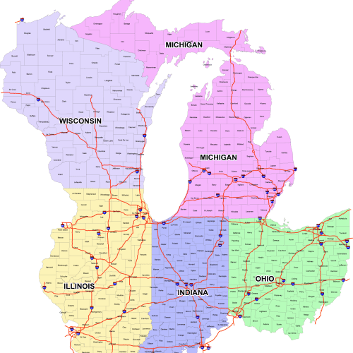
🎨 20 Organized Layers – Fully editable and logically grouped for quick customization and navigation
Perfect for cartographers, graphic designers, publishers, educators, or anyone needing a high-quality, editable map of the USA and its surrounding geography.
Detailed US Mercator Map
File Format: Adobe Illustrator (.AI)
License: Royalty-free for personal and commercial use
Make your maps stand out with the clarity, detail, and flexibility of this professional vector design.
Only logged in customers who have purchased this product may leave a review.

Reviews
There are no reviews yet.