Vector Globe North America to Europe
0 out of 5
12,00 $ – 15,00 $Price range: 12,00 $ through 15,00 $
Category: Globe Maps
Tags: Americas, Atlantic Ocean, continents oceans, Europe, Globe, various angles
AI customizable styling, scalabilityPDF cross-platform compatibility
- Description
- Reviews (0)
- Layers
Description
Vector Globe North America to Europe (30°N, 30°W)
This high-quality Vector Globe map focuses on the North Atlantic region, spanning from North America to Europe and Asia. Designed for professional use, the artwork features detailed country borders, country names, waterbodies, and graticules, making it ideal for editorial, educational, or presentation purposes.
- Artwork style: Colored, clean vector design
- Projection: Globe view centered on 30° North / 30° West
- Formats included:
- Adobe Illustrator (.AI) – 2.9 MB
- Layered PDF – 2.6 MB
- Fully editable: All elements are layered and scalable without loss of quality
- Instant download after payment
Only logged in customers who have purchased this product may leave a review.
- ocean -shape,
- river – line
- graticules – curves
- country name- text
- waterbody name- text
Related Products
Globe Maps
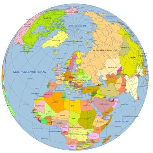
Europe Continent Focused Globe. Reference map
0 out of 5
12,00 $ – 15,00 $Price range: 12,00 $ through 15,00 $
Globe Maps
Near East Focused Colored Globe With Countries
0 out of 5
12,00 $ – 15,00 $Price range: 12,00 $ through 15,00 $
Globe Maps
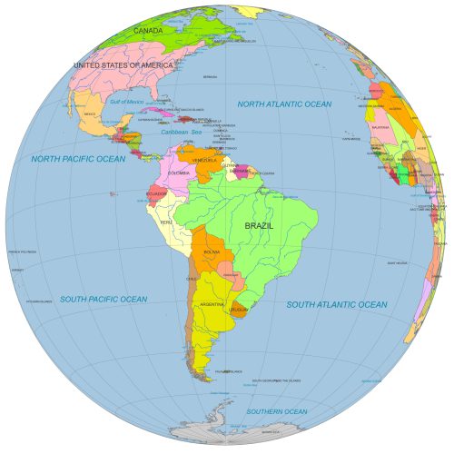
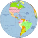
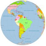
South America Globe Map PDF
0 out of 5
12,00 $ – 15,00 $Price range: 12,00 $ through 15,00 $
Globe Maps
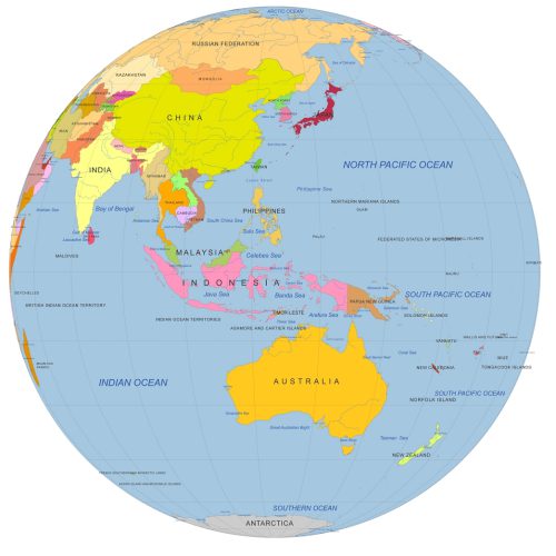
Colored vector Globe. Southeast Asia focused
0 out of 5
12,00 $ – 15,00 $Price range: 12,00 $ through 15,00 $
Globe Maps
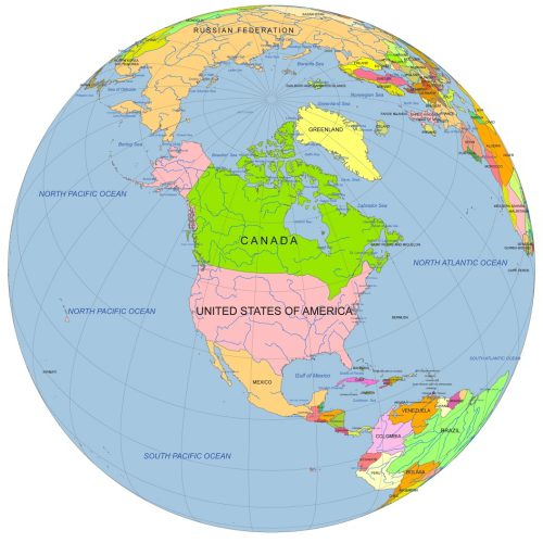
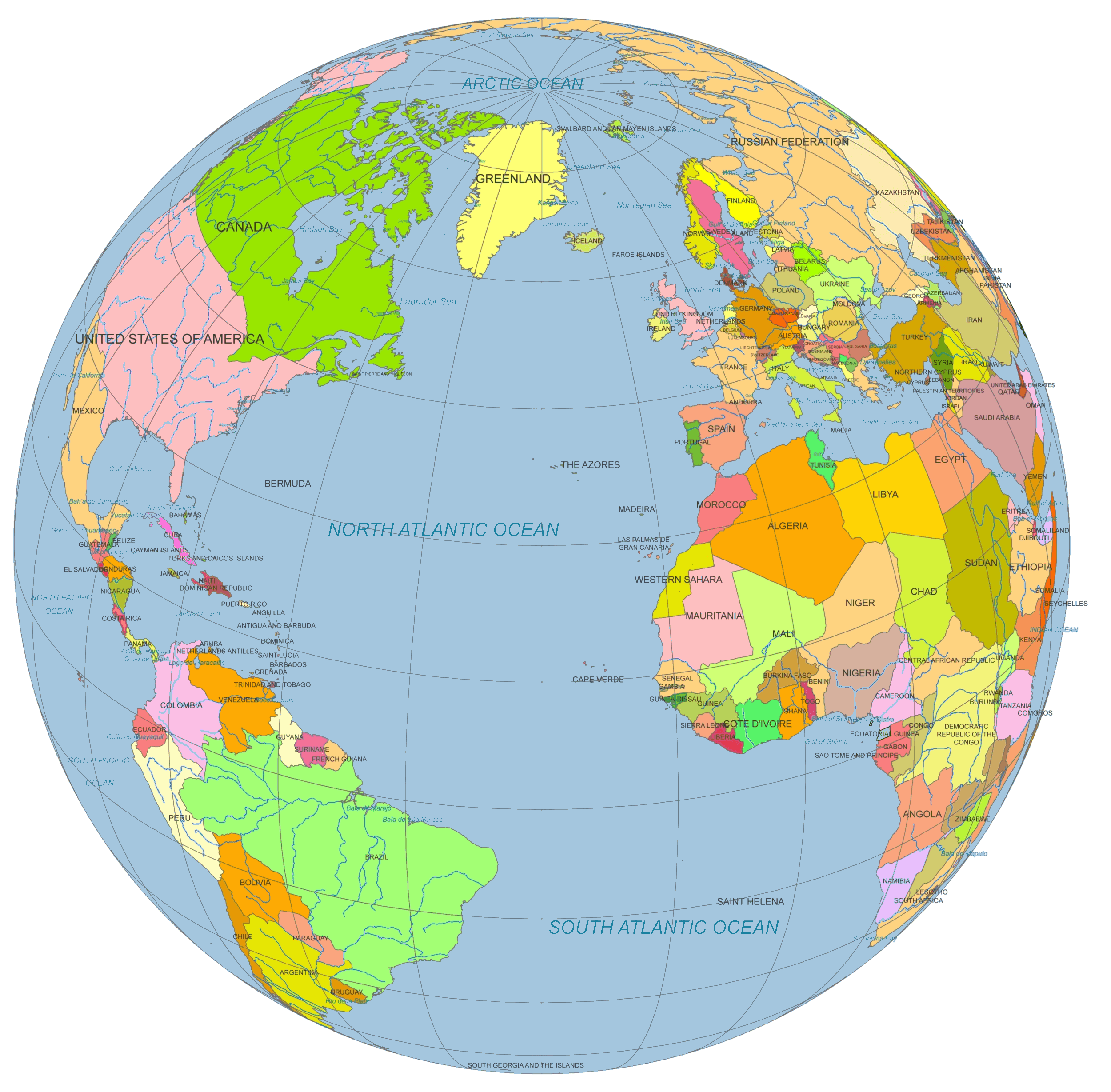
North America Centered Globe
0 out of 5
12,00 $ – 15,00 $Price range: 12,00 $ through 15,00 $
Globe Maps
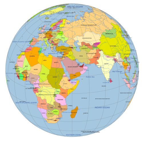
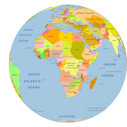
Africa Centered Vector Globe
0 out of 5
10,00 $ – 12,00 $Price range: 10,00 $ through 12,00 $
Reviews
There are no reviews yet.