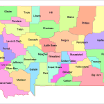
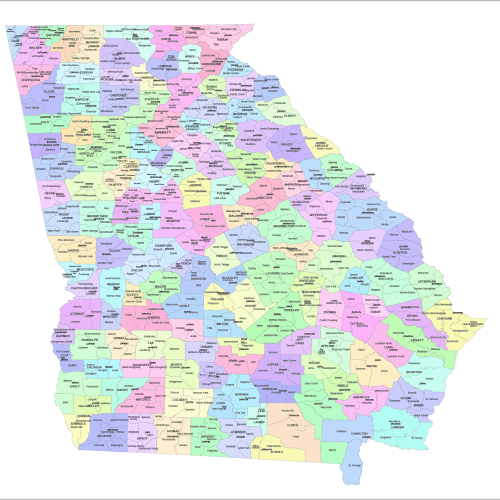
Description
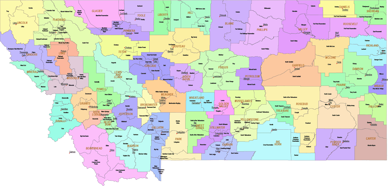
The Montana State Subdivisions Map showcases cities, districts, villages, boroughs, barrios, townships, and precincts in a detailed Adobe Illustrator artwork. It includes all counties and subcounties, with names clearly labeled for easy reference. County seats are featured on a separate layer, while distinct colors differentiate counties and their subdivisions.
Layers
- name of subdivision
- name of the counties
- county seat markers
- subdivision shapes
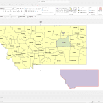
Example Montana County and Communities Map subcounty:
- Lewis and Clark County: Augusta, Lincoln, Wolf Creek
- Gallatin County: Belgrade, Manhattan, Amsterdam, Four Corners
- Flathead County: Columbia Falls, Bigfork, Evergreen, Marion
- Missoula County: Frenchtown, Lolo, Clinton, Bonner-West Riverside
- Yellowstone County: Lockwood, Laurel, Shepherd, Worden
- Cascade County: Belt, Sun Prairie, Simms, Fort Shaw
- Ravalli County: Stevensville, Victor, Darby, Corvallis
- Lake County: Polson, Ronan, Charlo, Pablo
Only logged in customers who have purchased this product may leave a review.


Reviews
There are no reviews yet.