KS ZIP Code Map With Cities Counties
0 out of 5
22,50 $ – 25,00 $Price range: 22,50 $ through 25,00 $
Category: Kansas ZIP Code Maps
Tag: US ZIP Codes map
AI customizable styling, scalabilityPDF cross-platform compatibility
- Description
- Reviews (0)
Description
This edition adds county boundaries and names to the ZIP Code map of Kansas. Each ZIP is color-coded and labeled with its number and Primary City.
Based on U.S. Census data, ❗only standard ZIP Codes with defined land area are shown.
Editable in Adobe Illustrator and layered PDF, it’s ideal for detailed planning, administration, and mapping needs.
Examples include ZIP regions around: Wichita (67202–67220), Topeka (66603), Overland Park (66212), Lawrence (66044), Manhattan (66502).
Only logged in customers who have purchased this product may leave a review.
Related Products
Ohio ZIP Code Maps
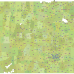
Ohio ZIP Codes with Primary Cities - Data-Driven Edition:
0 out of 5
18,00 $ – 20,00 $Price range: 18,00 $ through 20,00 $
Kansas ZIP Code Maps
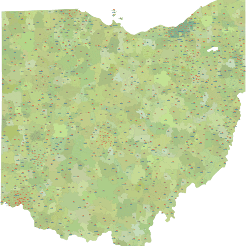
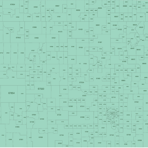
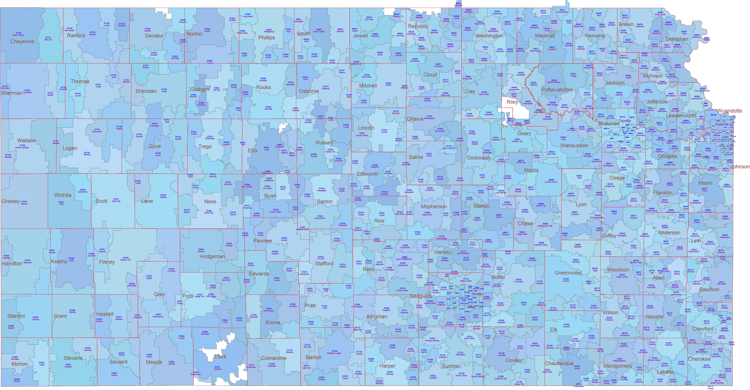
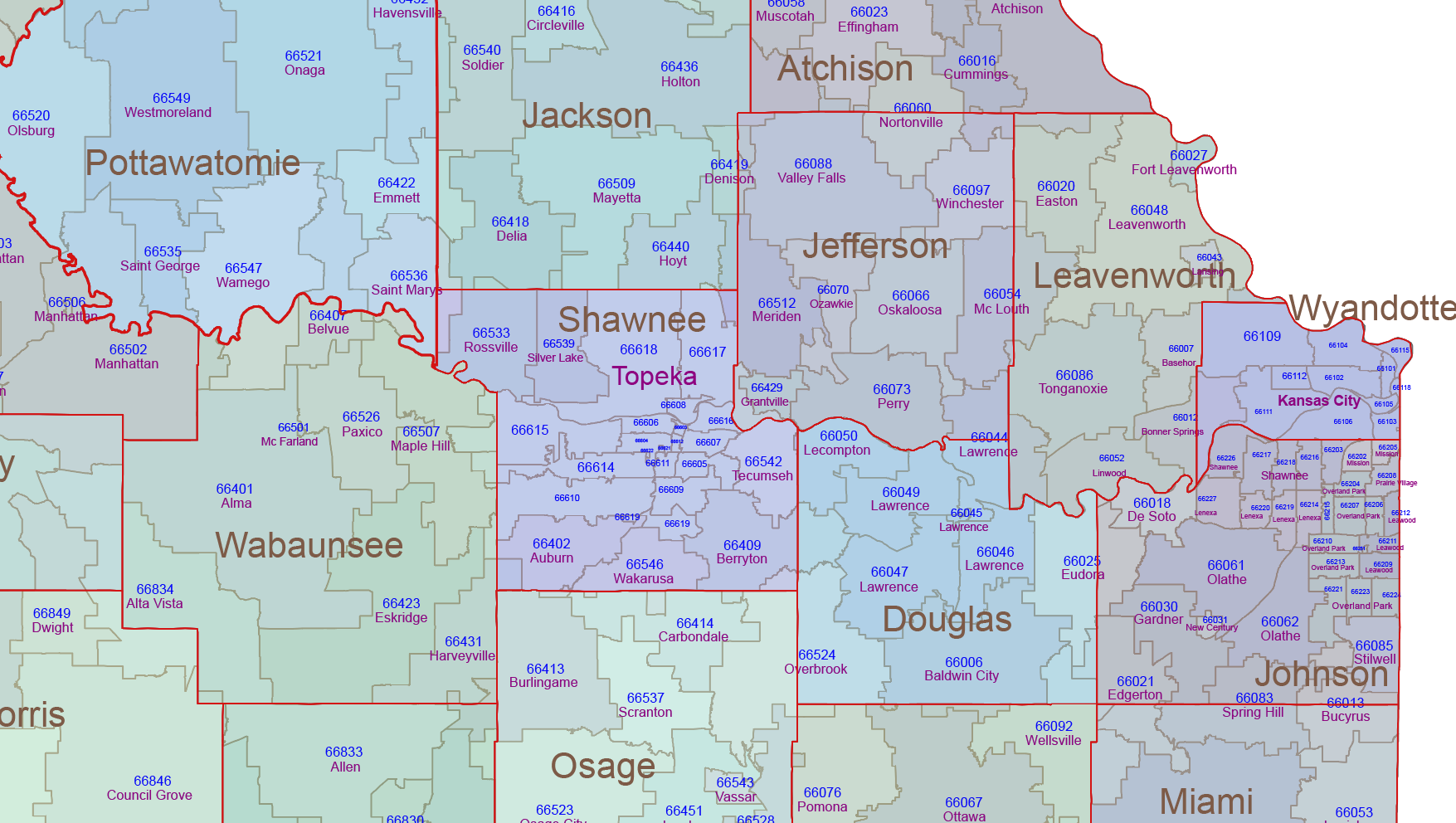
Kansas ZIP Code Map With Cities
0 out of 5
17,50 $ – 20,00 $Price range: 17,50 $ through 20,00 $
Kansas ZIP Code Maps
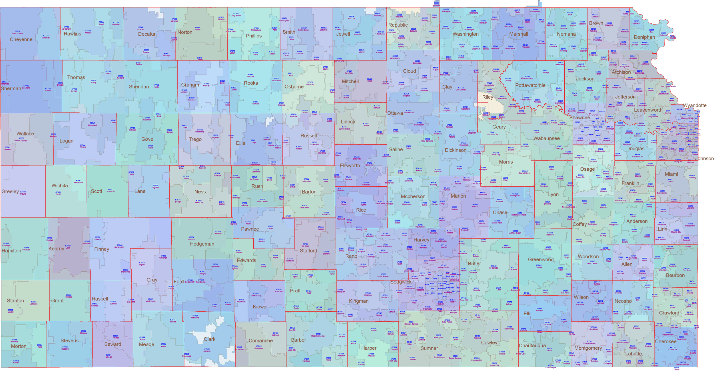
Kansas ZIP Code Map Basic
0 out of 5
12,00 $ – 15,00 $Price range: 12,00 $ through 15,00 $
Delaware ZIP Code Maps
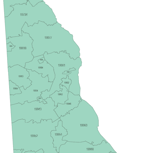
Delaware ZIP Code Map Basic
0 out of 5
8,00 $ – 10,00 $Price range: 8,00 $ through 10,00 $
Colorado ZIP Code Maps
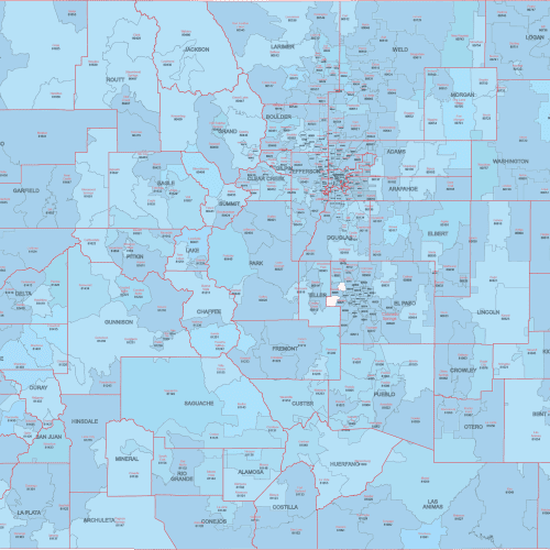
CO ZIP Code Map With Cities Counties
0 out of 5
22,50 $ – 25,00 $Price range: 22,50 $ through 25,00 $
California ZIP Code Maps
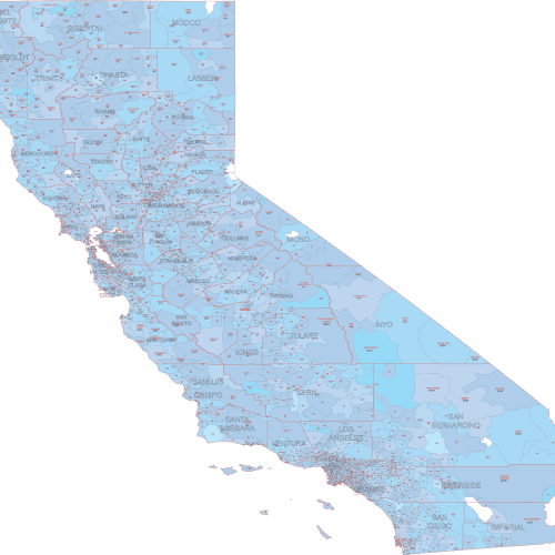
CA ZIP Code Map Cities And Counties
0 out of 5
22,50 $ – 25,00 $Price range: 22,50 $ through 25,00 $
Reviews
There are no reviews yet.