Mississippi MS
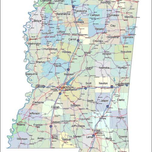
Mississippi Road and City Map
0 out of 5
39,90 $ – 45,00 $Price range: 39,90 $ through 45,00 $
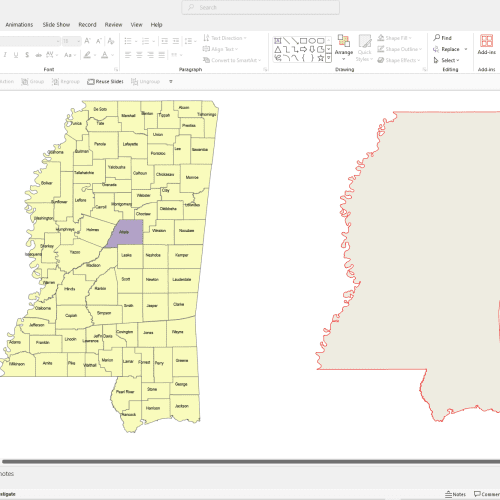
Mississippi MS
Mississippi County and Communities Map
0 out of 5
14,90 $ – 19,90 $Price range: 14,90 $ through 19,90 $
Mississippi MS
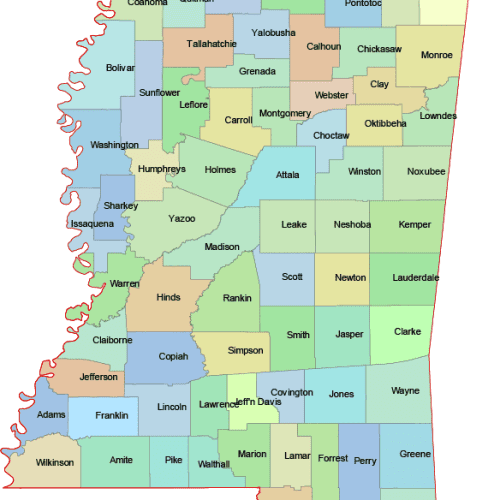
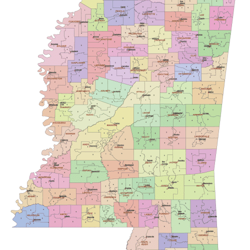
Mississippi Colored County Map
0 out of 5
10,00 $ – 12,00 $Price range: 10,00 $ through 12,00 $
Mississippi MS
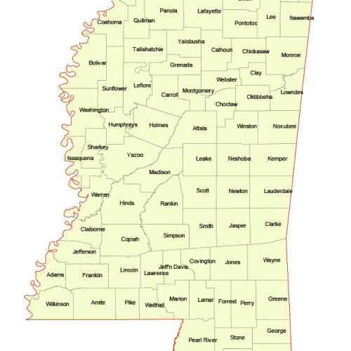
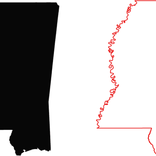
Mississippi Vector County Map
0 out of 5
8,00 $ – 10,00 $Price range: 8,00 $ through 10,00 $
Mississippi Vector Maps (MS) – Editable County, Subdivision & Road Maps
Discover a complete collection of high-quality vector maps of Mississippi (MS), ideal for graphic design, education, business analysis, and government projects. All maps are provided in Adobe Illustrator (AI) and PDF formats, ensuring full editability and smooth integration into your workflow.
Included in this Mississippi map set:
- Free Mississippi Silhouette Map – A simple outline of the state, perfect for basic use and layering.
- Monocolor Mississippi County Map – Clearly displays all county boundaries in a clean, single-color style.
- Colored Mississippi County Map – Each county is uniquely colored to improve visual clarity and differentiation.
- Mississippi Subdivision Map – Based on U.S. Census divisions such as towns, communities, or CCDs (Census County Divisions).
- PowerPoint Mississippi County Map – Slide-friendly and fully editable for business or educational presentations.
- Detailed Mississippi City & Road Map – Includes major cities, highways, and transportation networks for more in-depth applications.
These editable Mississippi maps are optimized for both digital and print use—ideal for presentations, infographics, or geographic analysis. Start with the free silhouette map or choose a detailed format that fits your needs.