Delaware Vector Maps (DE) – Editable County, Subdivision & Road Maps
Discover a complete collection of high-quality vector maps of Delaware (DE), ideal for graphic design, education, business analysis, and government projects. All maps are provided in Adobe Illustrator (AI) and PDF formats, ensuring full editability and smooth integration into your workflow.
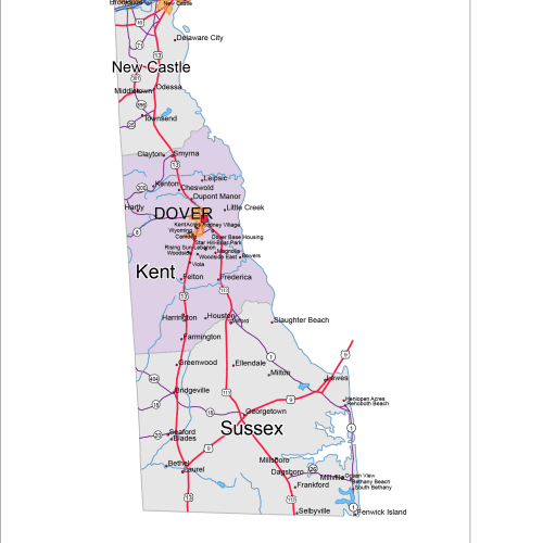
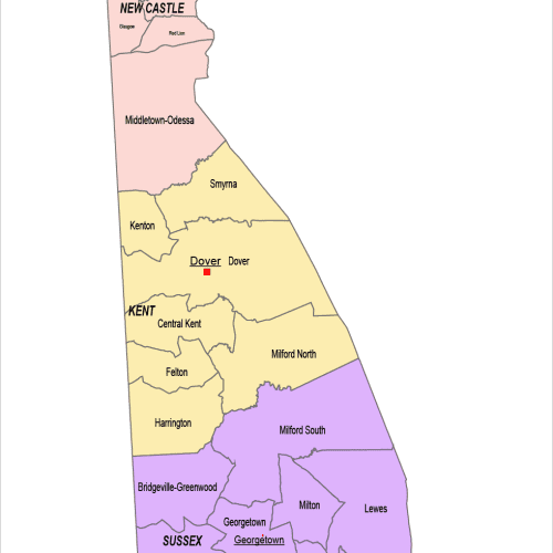
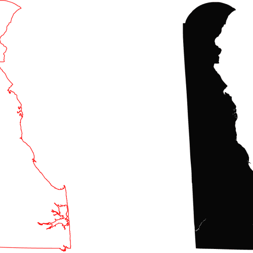
Included in this Delaware map set:
These editable Delaware maps are optimized for both digital and print use—ideal for presentations, infographics, or geographic analysis. Start with the free silhouette map or choose a detailed format that fits your needs.