Guard your time. It's all you have. Naval Ravikant
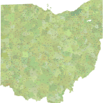
Ohio ZIP Code Map Schematic Edition
0 out of 5
12,00 $ – 15,00 $Price range: 12,00 $ through 15,00 $
Category: Ohio ZIP Code Maps Tags: OH, Ohio, US ZIP Codes map
AI customizable styling, scalabilityPDF cross-platform compatibility
- Description
- Reviews (0)
Description
Explore the Buckeye State with our detailed and versatile collection of Ohio Zip Code Maps, meticulously updated and enhanced with proprietary data integration, a unique process given that the US Census no longer includes primary city data in its latest ZCTA files. Our maps are available in two convenient vector formats: Adobe Illustrator (2022) and Layered PDF (compatible with all vector graphic software). Choose the edition that best suits your needs:
- Ohio ZIP Code Map Schematic Edition
- Ohio State ZIP Codes with Primary Cities – Data-Driven Edition
- Ohio State Zip Codes with Primary Cities & County Borders – Comprehensive Edition
A clean and straightforward visual representation of Ohio’s standard 5-digit zip code boundaries with geographic extension.
Excludes PO Box and Unique Zip Codes for a clear focus on deliverable geographic areas.
Features distinct shapes for each zip code area, clearly labeled with their corresponding 5-digit number.
Presented in a simple, single-color design for clarity and ease of use.
Ideal for basic reference, territory planning, and applications where simplicity is key.
Available in both Adobe Illustrator (AI, 2022) and Layered PDF formats.
Only logged in customers who have purchased this product may leave a review.
Related Products
Ohio ZIP Code Maps
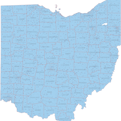
OH ZIP Code Map With Cities Counties
0 out of 5
22,50 $ – 25,00 $Price range: 22,50 $ through 25,00 $
Florida ZIP Code Maps
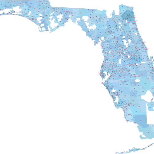
Florida ZIP Code Map With Cities
0 out of 5
17,50 $ – 20,00 $Price range: 17,50 $ through 20,00 $
Florida ZIP Code Maps
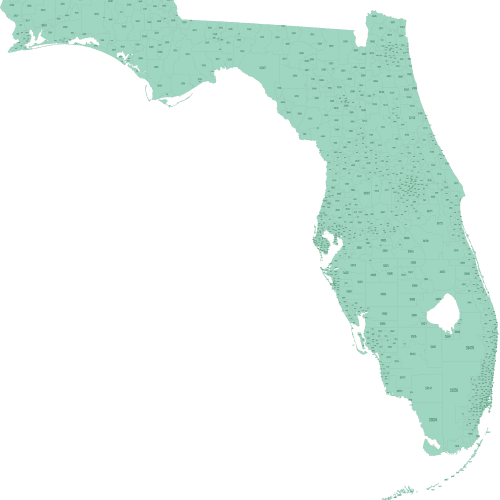
Florida ZIP Code Map Basic
0 out of 5
12,00 $ – 15,00 $Price range: 12,00 $ through 15,00 $
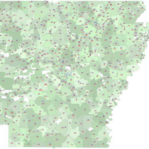
Arkansas ZIP Code Maps
Arkansas ZIP Code Map With Cities
0 out of 5
17,50 $ – 20,00 $Price range: 17,50 $ through 20,00 $
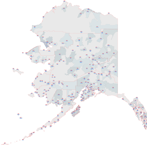
Alaska ZIP Code Maps
Alaska ZIP Code Map with Cities
0 out of 5
17,50 $ – 20,00 $Price range: 17,50 $ through 20,00 $
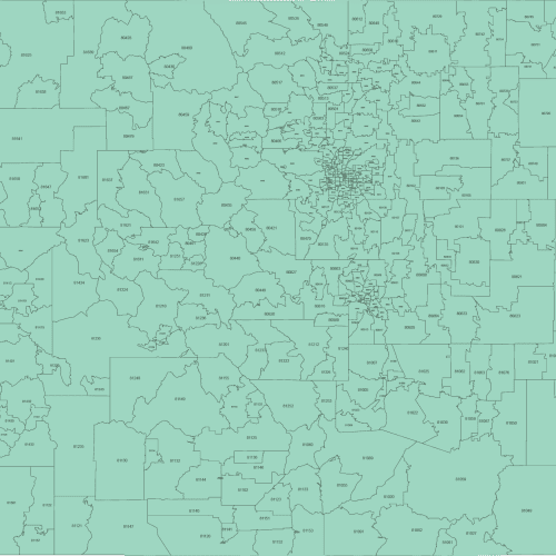
Colorado ZIP Code Maps
Colorado Zip Code Map Basic
0 out of 5
12,00 $ – 15,00 $Price range: 12,00 $ through 15,00 $


Reviews
There are no reviews yet.