Guard your time. It's all you have. Naval Ravikant
North America Centered Globe
0 out of 5
12,00 $ – 15,00 $Price range: 12,00 $ through 15,00 $
Category: Globe Maps Tags: Americas, Colorful, continents oceans, Globe, Illustrates, various angles, vector globe
AI customizable styling, scalabilityPDF cross-platform compatibility
- Description
- Reviews (0)
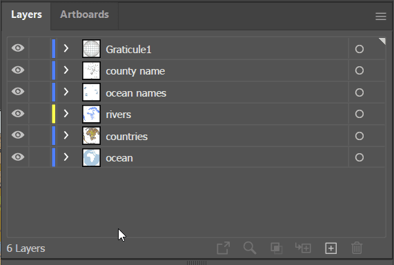
- Layers
Description
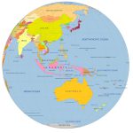
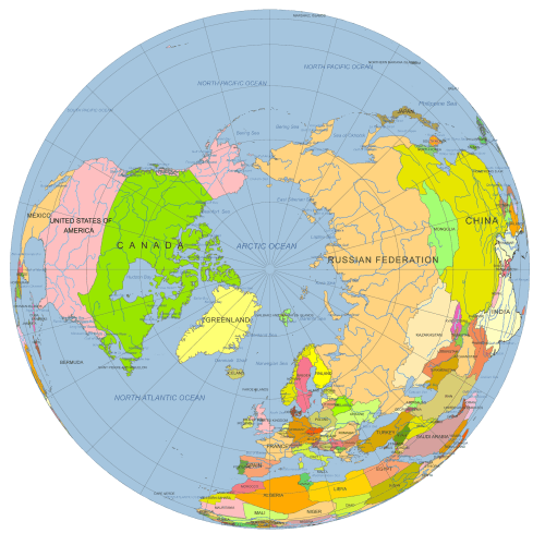
This high-quality vector globe features a North America-centered view, tilted and rotated to 50°N, 100°W for a visually striking and geographically accurate perspective. Ideal for designers, educators, or researchers, the map includes clearly defined countries, graticules, rivers, and major waterbodies.
Professionally layered and color-coded, the files come in both Adobe Illustrator (.AI) and layered PDF formats, making it easy to customize or integrate them into your projects.
Map Features of the North America Centered Globe Map
- Centered on North America (50°N, 100°W)
- Vector-based spherical globe design
- Includes:
- Country shapes
- Country names (editable text)
- Major rivers (line features)
- Waterbody shapes and names
- Ocean background shape
- Graticules (curved latitude/longitude lines)
- Color-coded for clarity and easy editing
File formats & sizes:
- Adobe Illustrator: 2.8 MB
- Layered PDF: 2.4 MB
Perfect for infographics, educational materials, print layouts, or digital projects requiring a clean, scalable globe focused on North America.
Only logged in customers who have purchased this product may leave a review.
-
- ocean -shape,
- river – line
- graticules – curves
- country name- text
- waterbody name- text
- country-shape
Related Products
World Maps
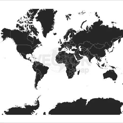
Black-filled-world-vector-map
0 out of 5
9,80 $ – 9,90 $Price range: 9,80 $ through 9,90 $
Globe Maps
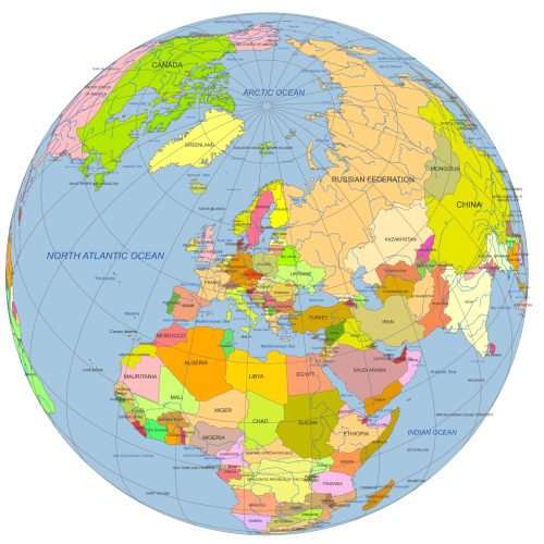
Europe Continent Focused Globe. Reference map
0 out of 5
12,00 $ – 15,00 $Price range: 12,00 $ through 15,00 $
Globe Maps
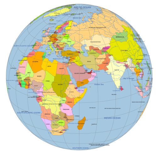
Near East Focused Colored Globe With Countries
0 out of 5
12,00 $ – 15,00 $Price range: 12,00 $ through 15,00 $
Globe Maps
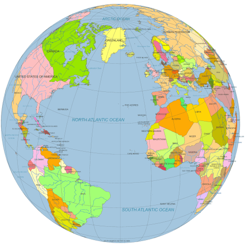
Vector Globe North America to Europe
0 out of 5
12,00 $ – 15,00 $Price range: 12,00 $ through 15,00 $
Globe Maps
Africa Centered Vector Globe
0 out of 5
10,00 $ – 12,00 $Price range: 10,00 $ through 12,00 $


Reviews
There are no reviews yet.