Guard your time. It's all you have. Naval Ravikant
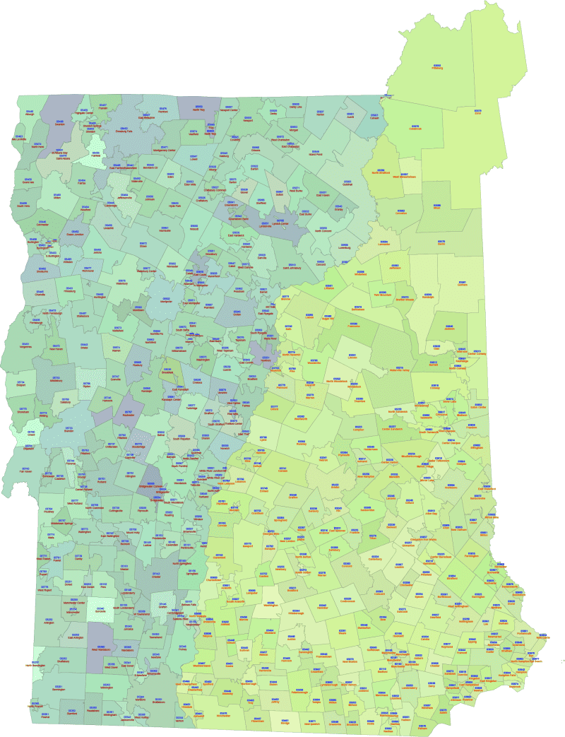
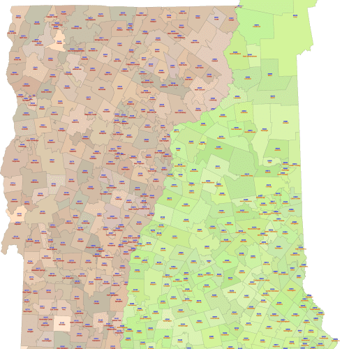
NH and VT ZIP Codes Map with Cities
0 out of 5
25,00 $
Categories: New Hampshire ZIP Code Maps, Vermont ZIP Code Maps Tags: NH, US ZIP Codes map, VT
AI customizable styling, scalabilityPDF cross-platform compatibility
- Description
- Reviews (0)
Description
New Hampshire and Vermont ZIP Codes Map with Primary Cities
- A visually engaging map of New Hampshire’s 5-digit zip codes, where each zip code area is uniquely colored for easy differentiation.
- Includes the 5-digit zip code number clearly displayed within its corresponding shape, accompanied by the name of the primary city associated with that zip code.
- Based on up-to-date data to ensure accuracy.
- Perfect for presentations, marketing materials, and applications requiring geographic context and key city information.
- Available in both Adobe Illustrator (AI, 2022) and Layered PDF formats.
Key Features of NH and VT Zip Codes Map with Cities
- Vector Format: Fully scalable without loss of quality, perfect for print and digital use.
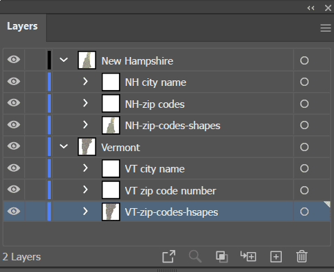
- Layered Structure: (Specifically for Layered PDF and Adobe Illustrator versions) Enables easy customization, selection of specific areas, and modification of colors and labels.
- Up-to-Date Data: Incorporates current information for accurate representation.
- Ready to Use: Professionally designed and ready for integration into your projects.
Only logged in customers who have purchased this product may leave a review.
Related Products
New Hampshire ZIP Code Maps, Vermont ZIP Code Maps
VT And New Hampshire Zip Code Map
0 out of 5
22,00 $ – 25,00 $Price range: 22,00 $ through 25,00 $
New Hampshire ZIP Code Maps, Vermont ZIP Code Maps
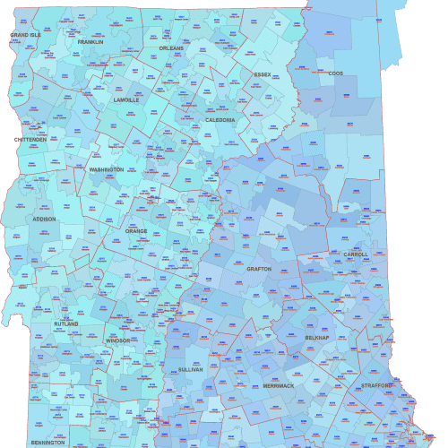
NH VT ZIP Map With Cities Counties
0 out of 5
27,00 $ – 29,90 $Price range: 27,00 $ through 29,90 $
Connecticut ZIP Code Maps
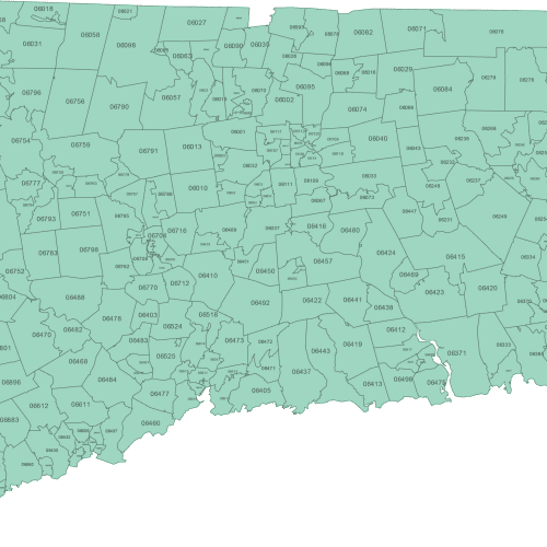
Connecticut ZIP Code Map Basic
0 out of 5
12,00 $ – 15,00 $Price range: 12,00 $ through 15,00 $
California ZIP Code Maps
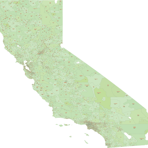
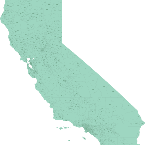
California ZIP Code Map With Cities
0 out of 5
20,00 $ – 22,50 $Price range: 20,00 $ through 22,50 $
Arkansas ZIP Code Maps
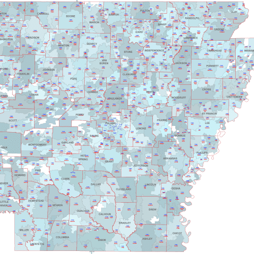
AR ZIP Code Map Cities Counties
0 out of 5
22,50 $ – 25,00 $Price range: 22,50 $ through 25,00 $
California ZIP Code Maps
California Zip Code Map Basic
0 out of 5
12,00 $ – 15,00 $Price range: 12,00 $ through 15,00 $

Reviews
There are no reviews yet.