Description
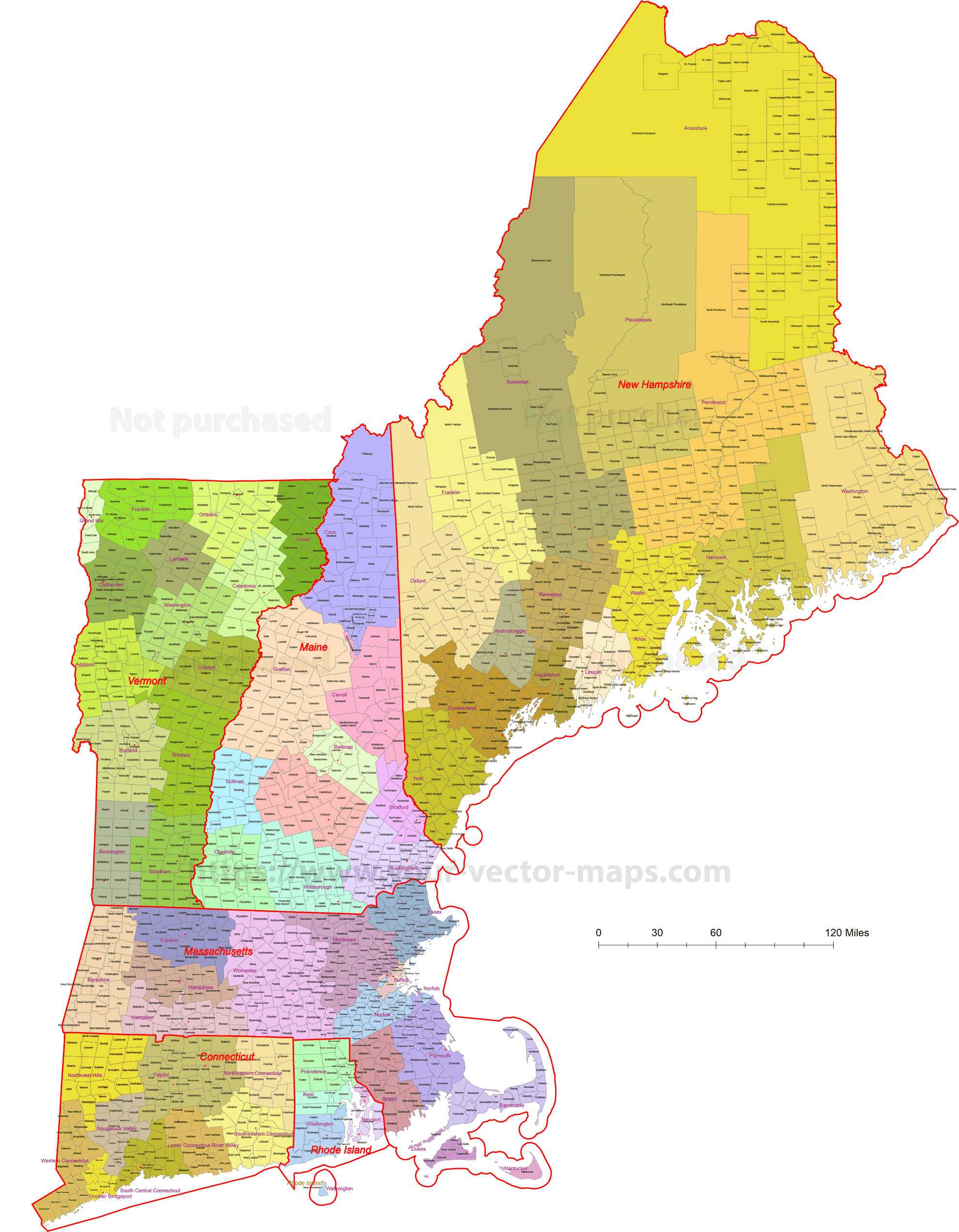
This detailed New England Communities Vector Map is a high-quality, fully editable Adobe Illustrator file, ideal for cartographers, designers, planners, and data visualization projects.
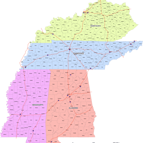
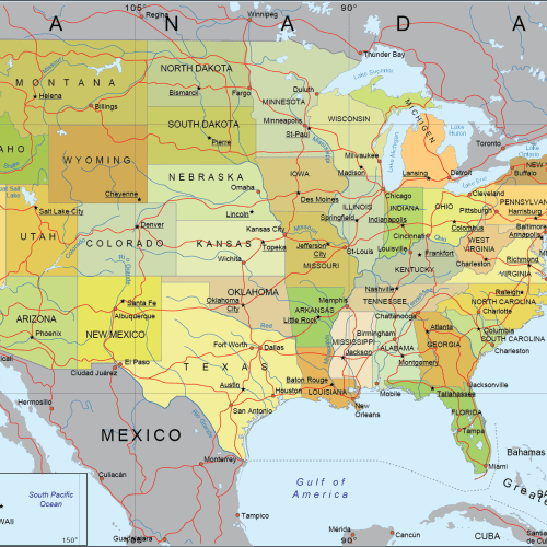
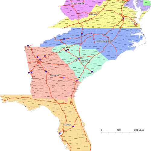
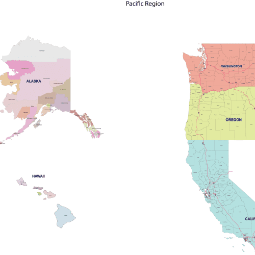
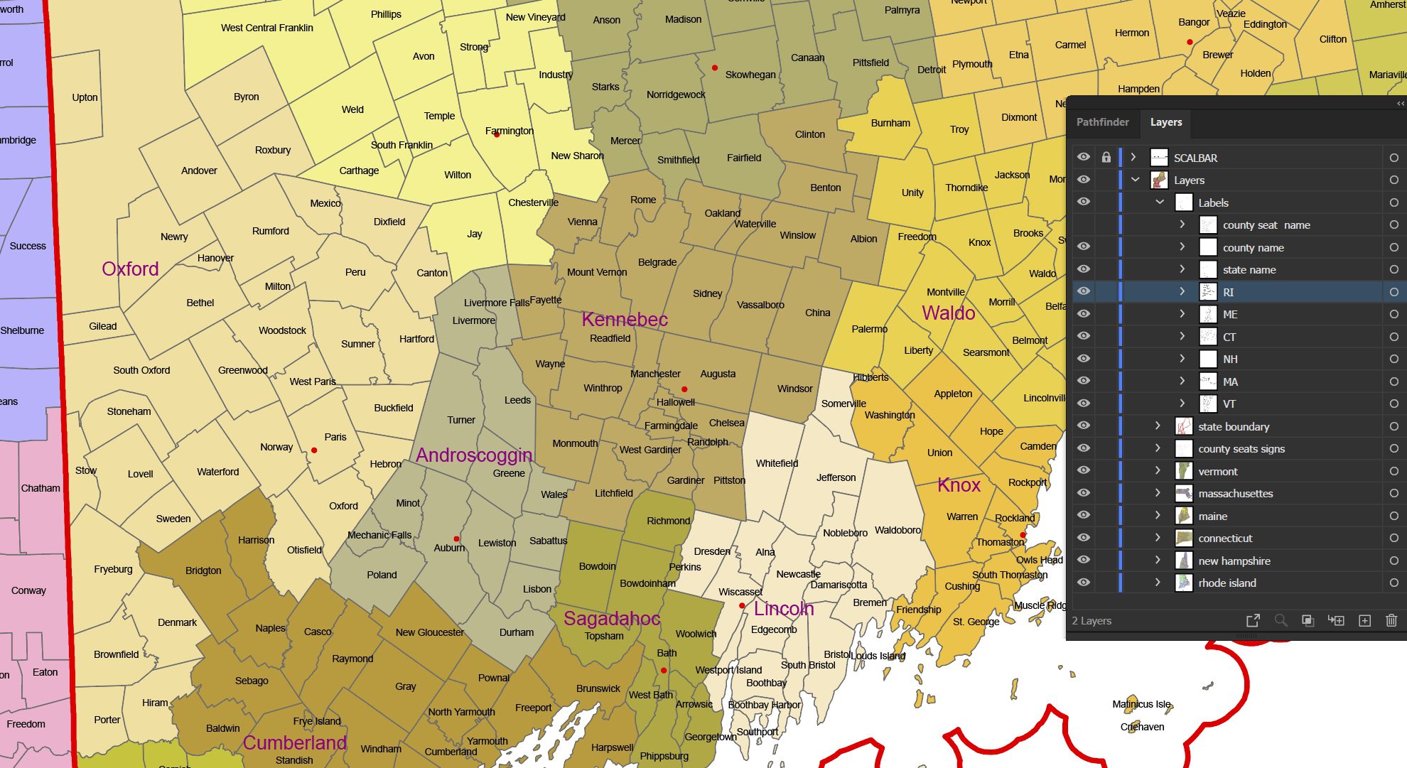
The map includes all counties, cities, and towns across the New England region, with county seats and state borders clearly defined. Every feature is organized into clean, well-structured layers, allowing easy customization and editing by individual state.
Created in Web Mercator projection, this map aligns perfectly with Google Maps and other web mapping platforms, making it suitable for both print and digital applications.
Features:
-
- Adobe Illustrator (AI) vector file
- Complete New England coverage
- All counties, cities, and towns included
- County seats are clearly marked
- State borders in separate layers
- Organized layers for easy editing by state
- Web Mercator projection (Google Maps compatible)
- Fully scalable with no loss of quality
Perfect for GIS projects, infographics, web maps, presentations, urban planning, and commercial design use.
Only logged in customers who have purchased this product may leave a review.


 1")
 2")

Reviews
There are no reviews yet.