Guard your time. It's all you have. Naval Ravikant
Nevada and Surrounding States
0 out of 5
49,90 $ – 59,00 $Price range: 49,90 $ through 59,00 $
Category: Nevada NV
AI customizable styling, scalabilityPDF cross-platform compatibility
- Description
- Reviews (0)
Description
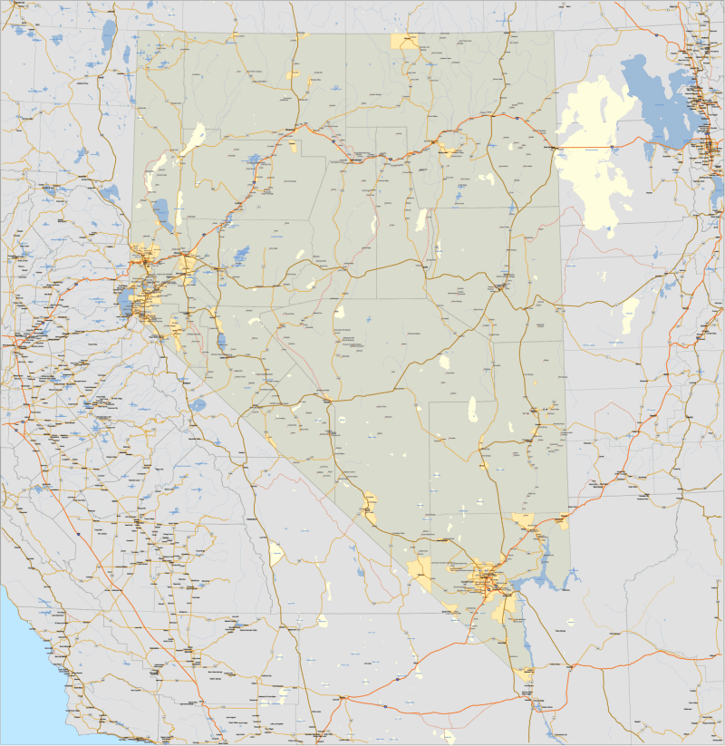
Nevada and Surrounding States – Detailed Vector Map (AI + Layered PDF)
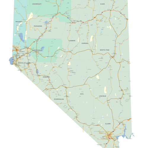
This richly detailed vector map highlights Nevada and its surrounding regions, covering portions of California, Utah, Arizona, Idaho, and Oregon. Ideal for users who need context beyond state borders—whether for regional planning, logistics, or educational purposes—this map is delivered in Adobe Illustrator and layered PDF formats, fully editable and ready for print or digital use.
Unlike the Nevada-only version, this edition includes partial border areas of neighboring states to provide geographic continuity while maintaining focus on Nevada.
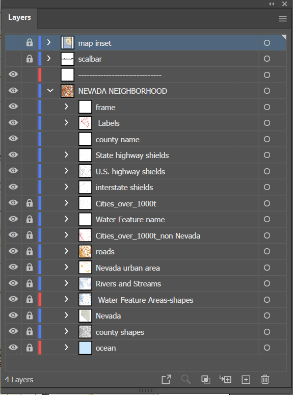
Key Features & Layers of Nevada and Surrounding States map
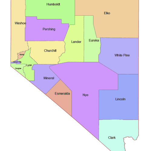
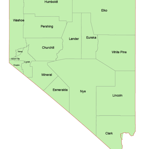
- Nevada counties with filled shapes and names
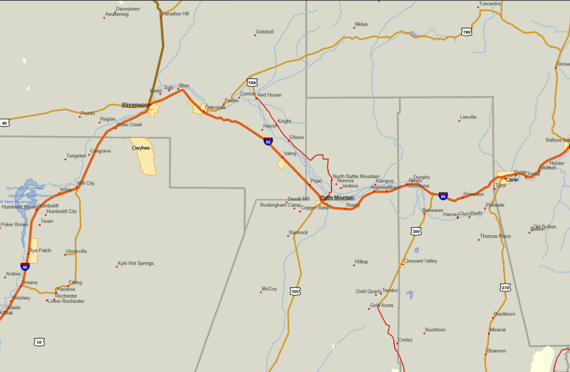
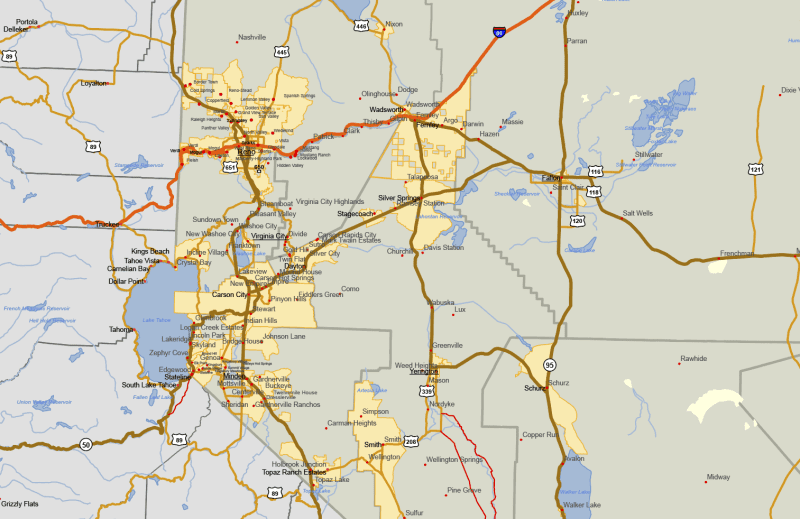
- Over 100 labeled populated places, including small communities and settlements
- Major and secondary roads, color-coded by type
- US, State, and Interstate highway shields
- Hydrological features: rivers, streams (as lines), and lakes/reservoirs (as shapes)
- Highlighted urban areas and city boundaries within Nevada
- Select adjacent cities and transportation corridors in surrounding states for orientation
The UTM Zone 11 projection ensures spatial accuracy, making this map ideal for GIS-related work or precise cartographic layouts.
Whether you’re a designer, educator, planner, or researcher, this map gives you the detail you need—extending just far enough beyond the state line to add a valuable regional perspective without overwhelming the Nevada focus.
FAQs – Nevada Vector Maps
What file formats are included with this map? You’ll receive both an Adobe Illustrator (.AI) file and a layered PDF, perfect for editing or printing at various sizes.
Does this map show small towns and lesser-known places? Yes. The map includes detailed populated place names, including small and often overlooked communities like Mustang Ranch, Mark Twain Estates, and Keystone Junction.
Are roads and highways color-coded? Yes. Roads are styled with color-coded classifications (interstates, state highways, and smaller roads), along with proper highway shields.
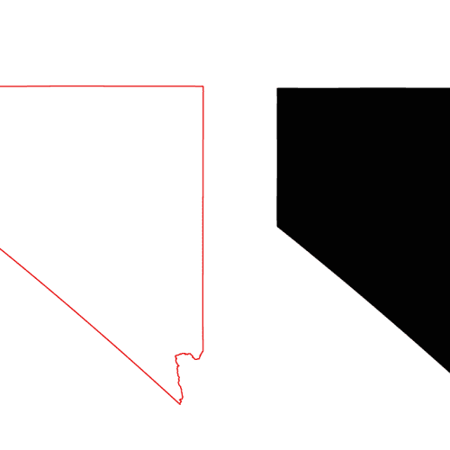
Does the map include neighboring states? There are two versions: – One showing only Nevada (with neighboring areas masked out) – One showing Nevada with parts of adjacent states (California, Utah, Arizona, Oregon, Idaho)
What projection is used for the map? The map is built using UTM Zone 11 projection, centered for geographic accuracy in central Nevada.
Can I use this map for commercial design or publishing? Yes, the files are ideal for commercial and editorial use, including print, presentations, and planning documents.
Only logged in customers who have purchased this product may leave a review.
Related Products
Nevada NV
Nevada County and Communities Map
0 out of 5
14,90 $ – 19,90 $Price range: 14,90 $ through 19,90 $
Nevada NV
Nevada Colored County Map
0 out of 5
10,00 $ – 12,00 $Price range: 10,00 $ through 12,00 $

Reviews
There are no reviews yet.