NC ZIP Code Map With Cities
18,00 $ – 20,00 $Price range: 18,00 $ through 20,00 $
AI customizable styling, scalabilityPDF cross-platform compatibility
- Description
- Reviews (0)
Description
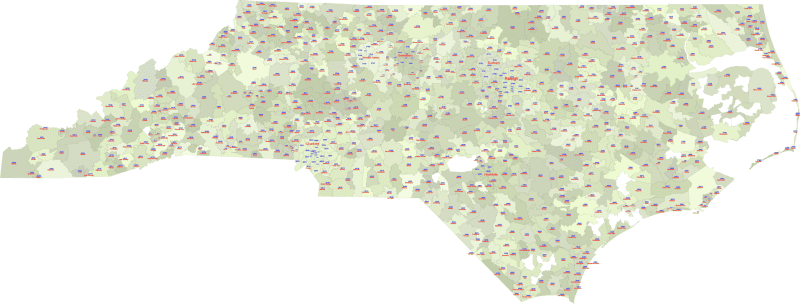
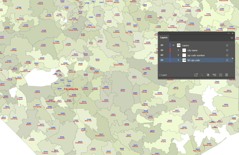
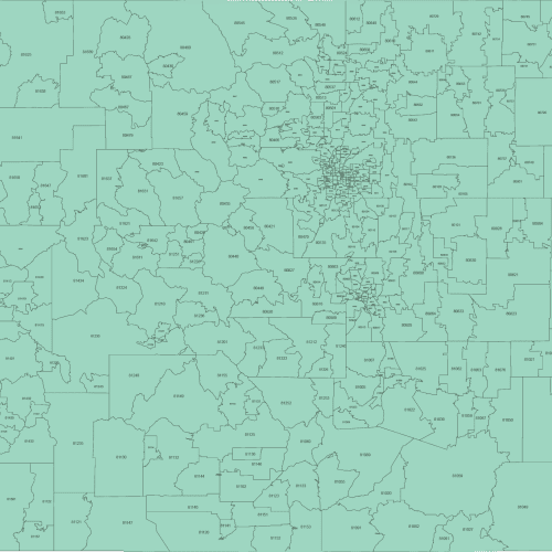
This colorful NC ZIP Code Map With Cities North Carolina presents each ZIP region in a different color and includes both the five-digit ZIP Code and the name of its Primary City. Only ZIPs with defined land area are included, based on U.S. Census data.
The visual clarity helps identify regional clusters and provides quick reference across cities and neighborhoods.
Available as layered Adobe Illustrator and PDF files.
Examples of included areas: Charlotte (28202–28277), Raleigh (27601), Greensboro (27401), Durham (27701), Wilmington (28401).
Key Features :
- Vector Format: Fully scalable without loss of quality, perfect for print and digital use.
- Layered Structure: (Specifically for Layered PDF and Adobe Illustrator versions) Enables easy customization, selection of specific areas, and modification of colors and labels.
- Up-to-Date Data: Incorporates current information for accurate representation.
- Ready to Use: Professionally designed and ready for integration into your projects.
Unlock valuable geographic intelligence for North Carolina with our comprehensive zip code map collection. Choose the edition that best aligns with your analytical and visual communication objectives. Available in both Adobe Illustrator and Layered PDF formats for maximum compatibility.
Only logged in customers who have purchased this product may leave a review.

Reviews
There are no reviews yet.