Description
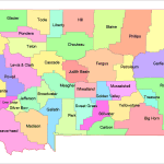
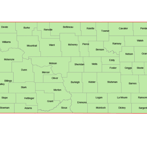
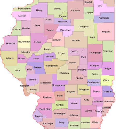
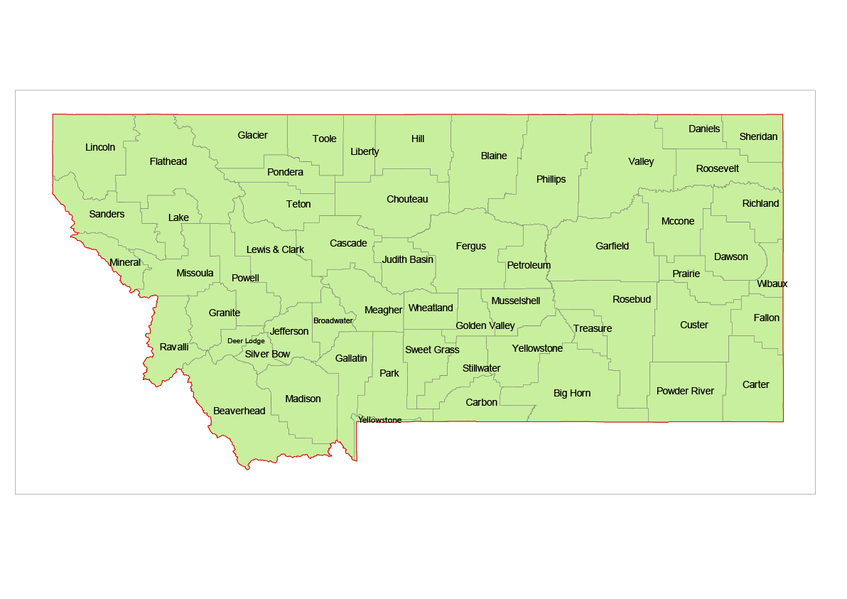
The Montana Vector County Map of Counties is a professionally designed Illustrator artwork where each county is treated as an individual, editable field. County names are included, and while all areas are initially presented in the same color, they can be customized, recolored, highlighted, or modified as needed. The map supports infinite magnification without any loss of quality.
In addition to the Adobe Illustrator (2022) file, the map is also available for download as a layered PDF. Included layers:
State Borderline
County Shapes
County Names (Text).
Counties on the Montana Vector County Map
Beaverhead, Big Horn, Blaine, Broadwater, Carbon, Carter, Cascade, Chouteau, Custer, Daniels, Dawson, Deer Lodge, Fallon, Fergus, Flathead, Gallatin, Garfield, Glacier, Golden Valley, Granite, Hill, Jefferson, Judith Basin, Lake, Lewis and Clark, Liberty, Lincoln, Madison, McCone, Meagher, Mineral, Missoula, Musselshell, Park, Petroleum, Phillips, Pondera, Powder River, Powell, Prairie, Ravalli, Richland, Roosevelt, Rosebud, Sanders, Sheridan, Silver Bow, Stillwater, Sweet Grass, Teton, Toole, Treasure, Valley, Wheatland, Wibaux, Yellowstone
Only logged in customers who have purchased this product may leave a review.


Reviews
There are no reviews yet.