
Guard your time. It's all you have. Naval Ravikant


Related Products
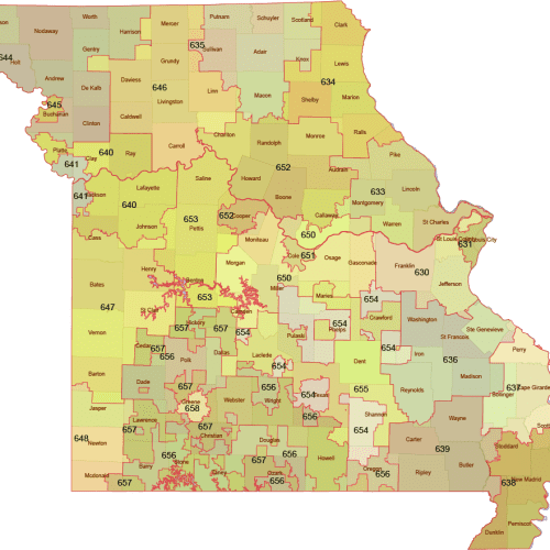
Missouri 3-Digit ZIP Code Map with Counties — Vector Map
Price range: 12,00 $ through 15,00 $
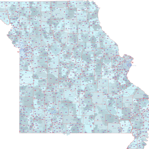
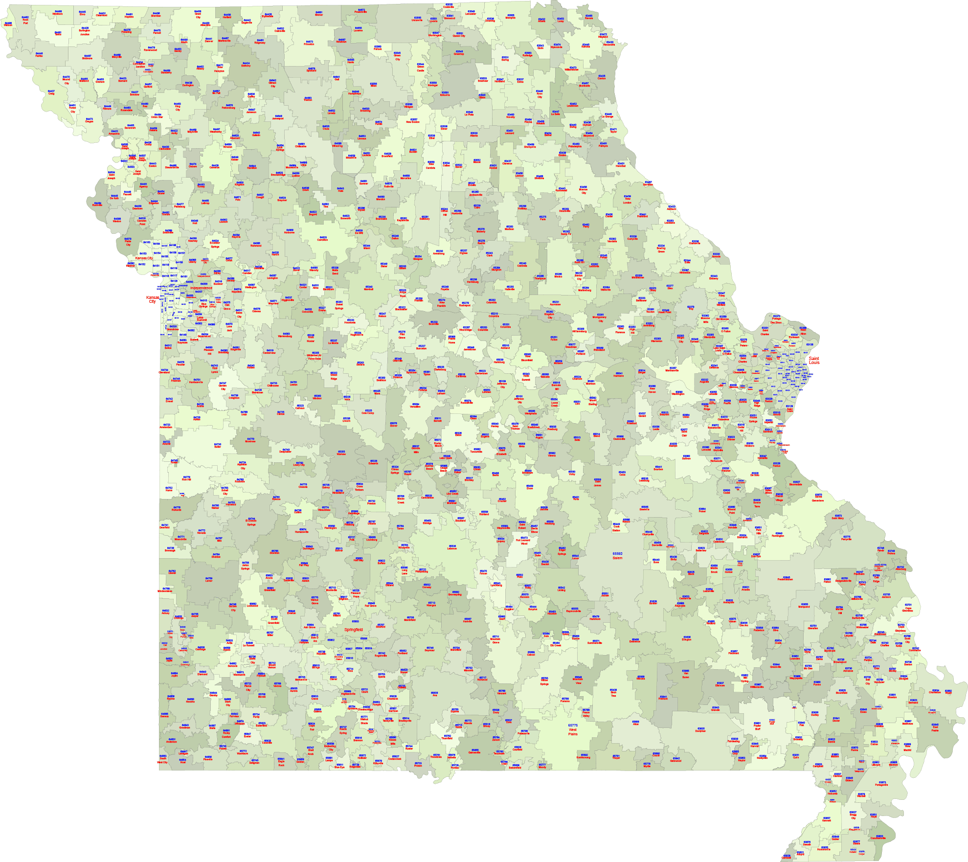
MO ZIP Code Map With Cities Counties
Price range: 22,50 $ through 25,00 $
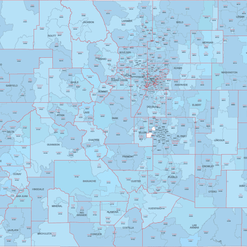
CO ZIP Code Map With Cities Counties
Price range: 22,50 $ through 25,00 $
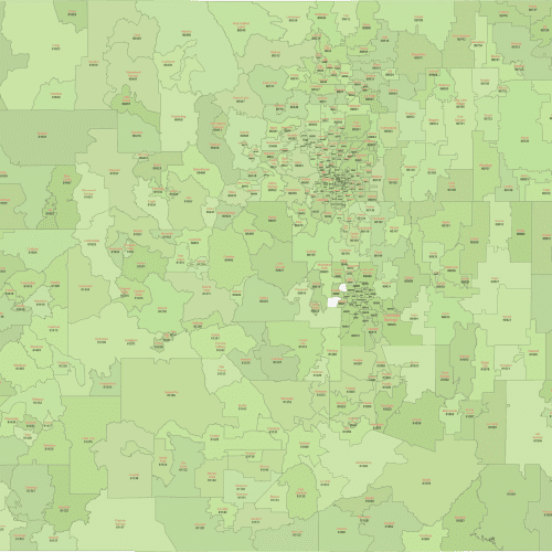
Colorado ZIP Code Map With Cities
Price range: 17,50 $ through 20,00 $
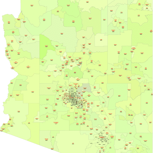
Arizona ZIP Code Map With Cities
Price range: 17,50 $ through 20,00 $
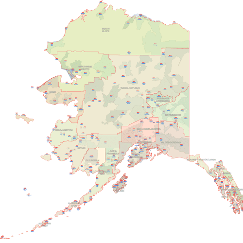
AK ZIP Code Map Cities & Counties
Price range: 22,50 $ through 25,00 $
Reviews
There are no reviews yet.