Guard your time. It's all you have. Naval Ravikant
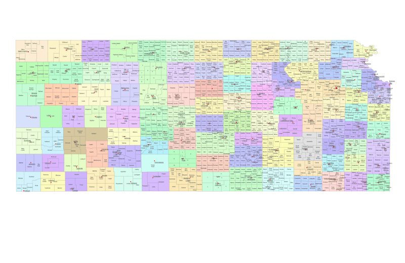
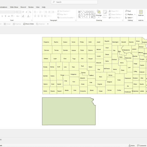
Kansas State Communities Map
0 out of 5
22,00 $ – 24,90 $Price range: 22,00 $ through 24,90 $
Category: Kansas KS Tags: Kansas, subcounty map, townships map, USA states
AI customizable styling, scalabilityPDF cross-platform compatibility
- Description
- Reviews (0)
Description
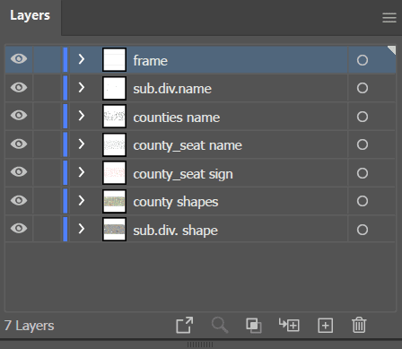
The Kansas State Communities Map showcases cities, districts, villages, boroughs, barrios, townships, and precincts in a detailed Adobe Illustrator artwork. It includes all counties and subcounties, with names clearly labeled for easy reference. County seats are featured on a separate layer, while distinct colors differentiate counties and their subdivisions.
Atchison Township, Blue Township, Center Township, Cimarron Township, Colfax Township, Delaware Township, Eagle Township, Elm Creek Township, Fairview Township, Garfield Township, Grant Township, Hayes Township, Jackson Township, Lincoln Township, Marion Township, Ohio Township, Pleasant Township, Rock Creek Township, Sherman Township, Walnut Township.
Only logged in customers who have purchased this product may leave a review.
Related Products
Kansas KS
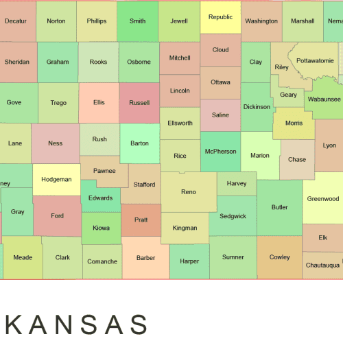
Kansas Colored County Map
0 out of 5
10,00 $ – 12,00 $Price range: 10,00 $ through 12,00 $
Indiana IN
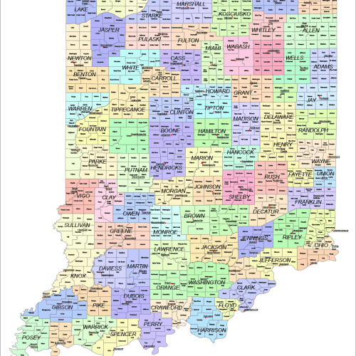
Indiana County and Communities Map
0 out of 5
22,00 $ – 25,00 $Price range: 22,00 $ through 25,00 $

Reviews
There are no reviews yet.