Guard your time. It's all you have. Naval Ravikant
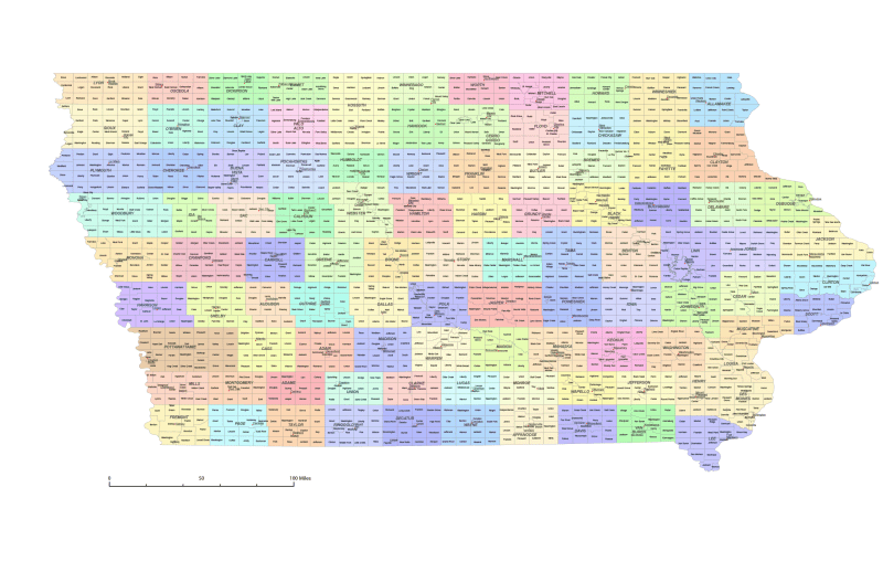
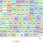
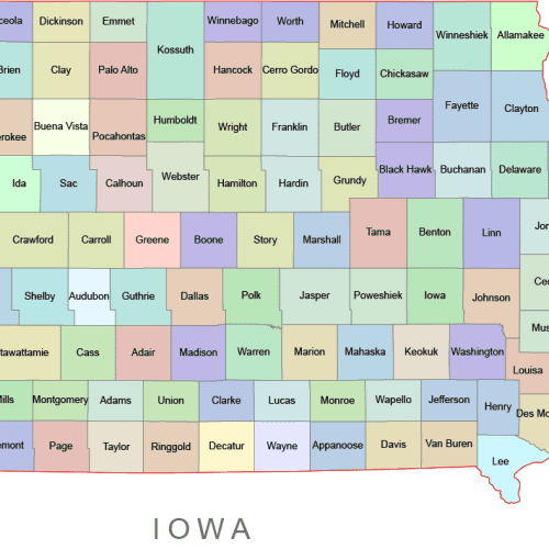
Iowa County and Communities Map
0 out of 5
20,00 $ – 25,00 $Price range: 20,00 $ through 25,00 $
Category: Iowa IA Tags: Iowa, US county map, West-North Central Region
AI customizable styling, scalabilityPDF cross-platform compatibility
- Description
- Reviews (0)
Description
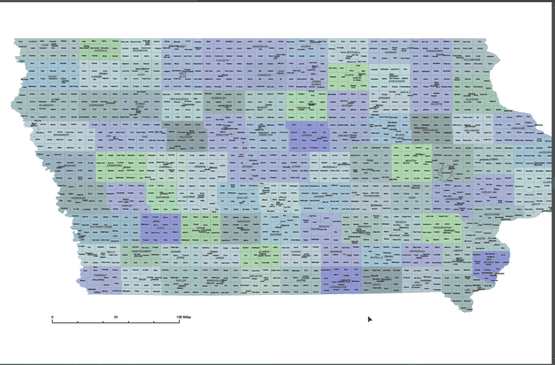
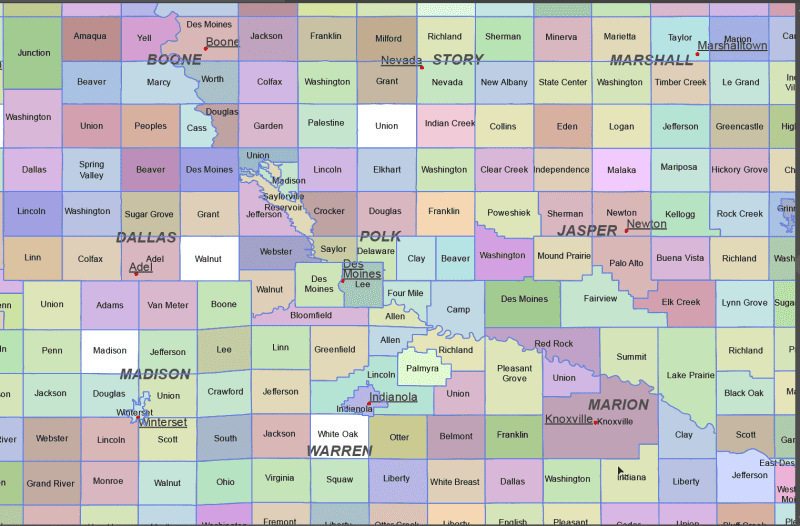
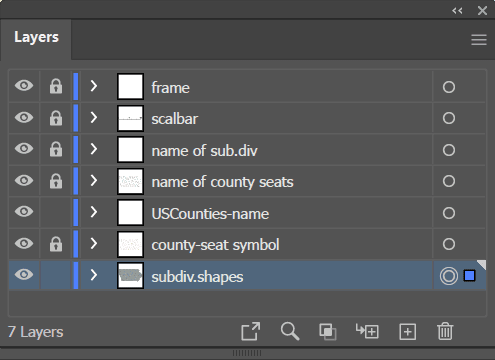
The Iowa State Subdivisions Map showcases cities, districts, villages, boroughs, barrios, townships, and precincts in a detailed Adobe Illustrator artwork. It includes all counties and subcounties, with names clearly labeled for easy reference. County seats are featured on a separate layer, while distinct colors differentiate counties and their subdivisions.
Otter Creek township, Pleasant township, Union township, Warren township, Washington township, Cedar township, Evansdale city, Lincoln township, Richland township, Ross township, Scott township, West Fork township, Wisner township, New Oregon township, Oak Dale township, Paris township, Saratoga township, Vernon Springs township, Barclay township, Bennington township, Black Hawk township, Fox township, Lester township, Mount Vernon township, Eagle township, Fenton township, Garfield township, German township, Grant township, Jamestown township, Orange township, Union township, Washington township, Cedar Falls city, Cedar Falls township, Eagle township, Eureka township, Grand River township, Greenfield township, Grove township, Harrison township, Benton township
Only logged in customers who have purchased this product may leave a review.
Related Products
Vermont VT
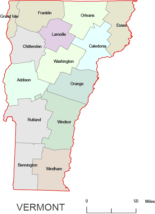
Vermont Colored County Map
0 out of 5
8,00 $ – 12,00 $Price range: 8,00 $ through 12,00 $
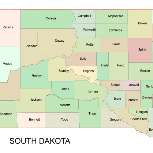
South Dakota SD
South Dakota Colored County Map
0 out of 5
10,00 $ – 12,00 $Price range: 10,00 $ through 12,00 $
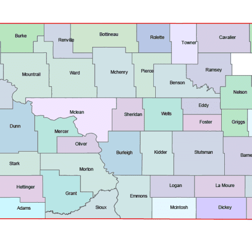
North Dakota ND
North Dakota Colored County Map
0 out of 5
10,00 $ – 12,00 $Price range: 10,00 $ through 12,00 $
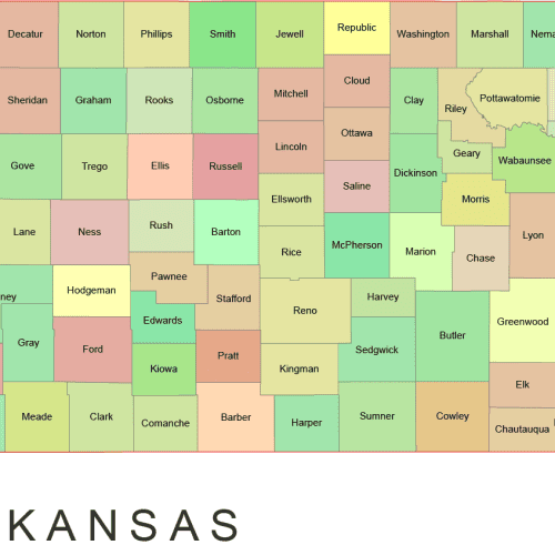
Kansas KS
Kansas Colored County Map
0 out of 5
10,00 $ – 12,00 $Price range: 10,00 $ through 12,00 $

Reviews
There are no reviews yet.