Guard your time. It's all you have. Naval Ravikant
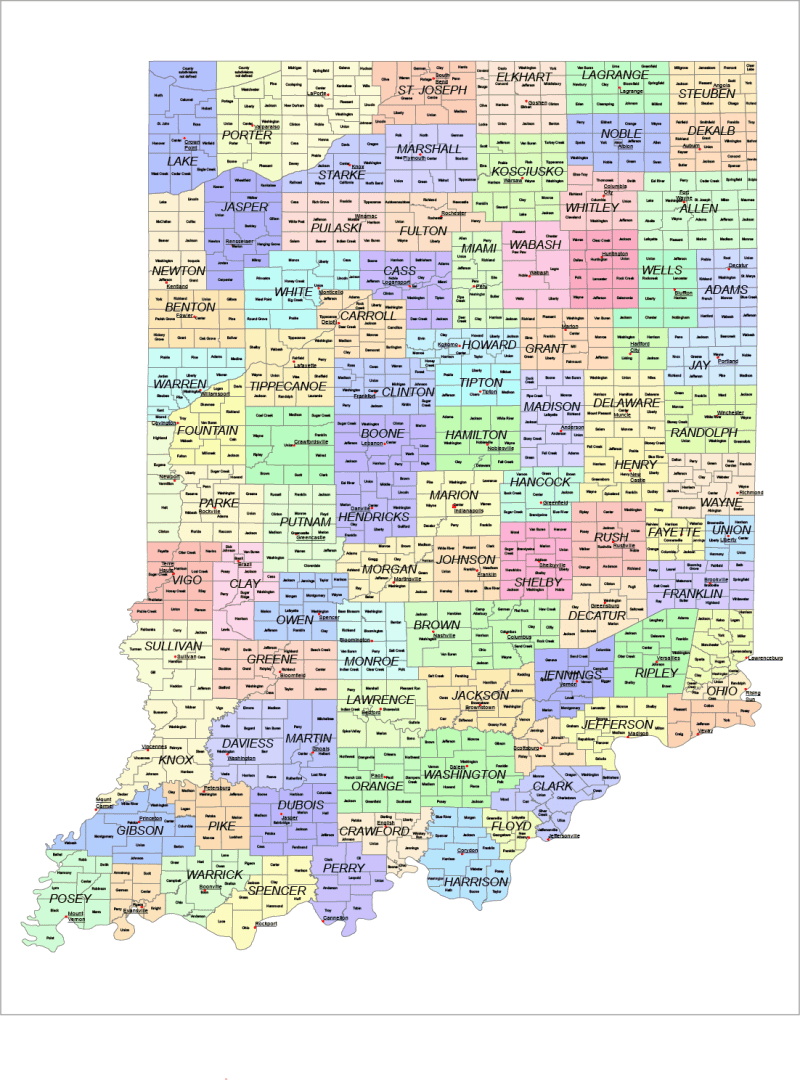
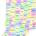
Indiana County and Communities Map
0 out of 5
22,00 $ – 25,00 $Price range: 22,00 $ through 25,00 $
Category: Indiana IN Tags: East-North Central region, Indiana, subcounty map, townships map, USA states
AI customizable styling, scalabilityPDF cross-platform compatibility
- Description
- Reviews (0)
Description
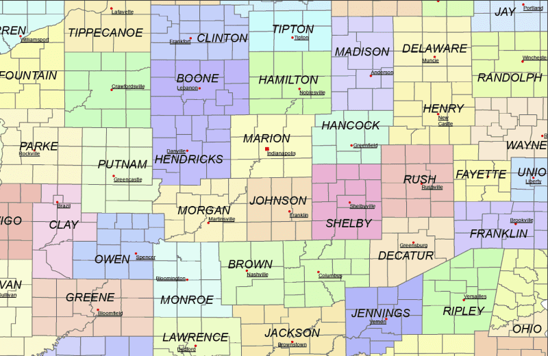
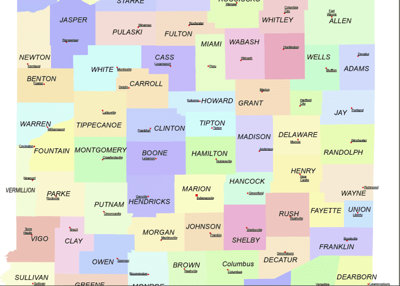
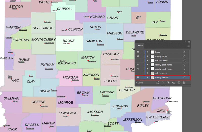
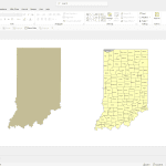
The Indiana State Subdivisions Map showcases cities, districts, villages, boroughs, barrios, townships, and precincts in a detailed Adobe Illustrator artwork. It includes all counties and subcounties, with names clearly labeled for easy reference. County seats are featured on a separate layer, while distinct colors differentiate counties and their subdivisions.
Layers
- name of subdivision
- name of the counties
- county seat markers
- subdivision shapes
Clay township, Greenfield township, Lima township, Newbury township, Van Buren township, Camp Atterbury UT, Clay township, Clifty township, Columbus township, Harrison township, Haw Creek township, Ohio township, Rock Creek township, Barkley township, Gillam township, Hanging Grove township, Chester township, Jackson township, Winfield township, Jefferson township, Liberty township, Morgan township, Center township, Sugar Creek township, Jordan township, Monroe township, Perry township, Railroad township, Washington township, Wayne township,
Only logged in customers who have purchased this product may leave a review.
Related Products
Mississippi MS
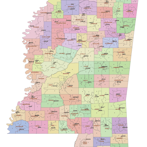
Mississippi County and Communities Map
0 out of 5
14,90 $ – 19,90 $Price range: 14,90 $ through 19,90 $
Maine ME
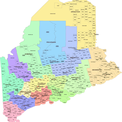
Maine County and Communities Map
0 out of 5
21,90 $ – 25,00 $Price range: 21,90 $ through 25,00 $
Indiana IN
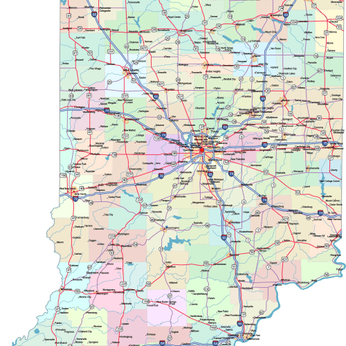
Indiana Road and City Map
0 out of 5
42,00 $ – 45,00 $Price range: 42,00 $ through 45,00 $
Connecticut CT
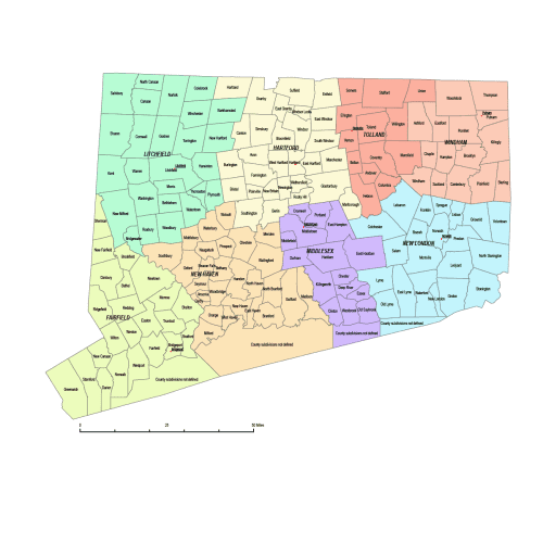
Connecticut County and Communities Map
0 out of 5
18,00 $ – 20,00 $Price range: 18,00 $ through 20,00 $

Reviews
There are no reviews yet.