Guard your time. It's all you have. Naval Ravikant
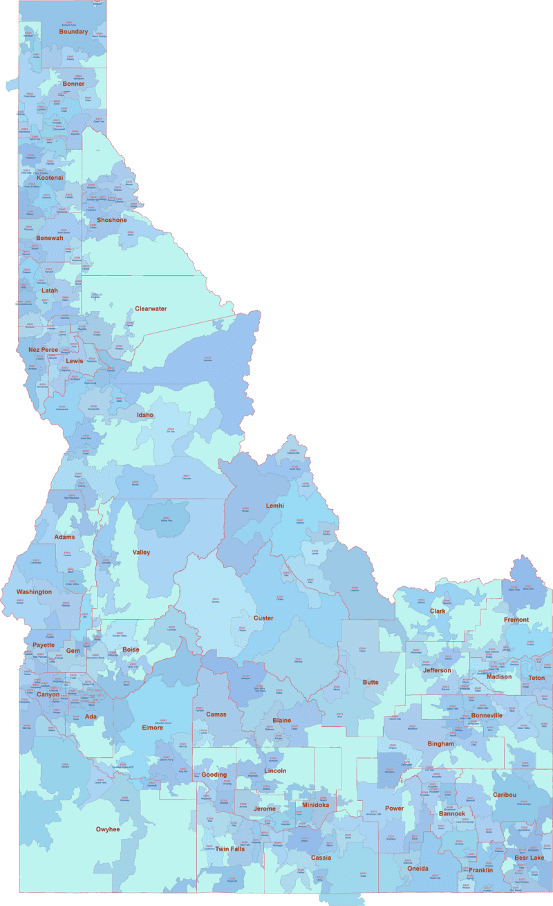
ID ZIP Code Map With Cities Counties
0 out of 5
17,50 $ – 25,00 $Price range: 17,50 $ through 25,00 $
Category: Idaho ZIP Code Maps Tag: US ZIP Codes map
AI customizable styling, scalabilityPDF cross-platform compatibility
- Description
- Reviews (0)
Description
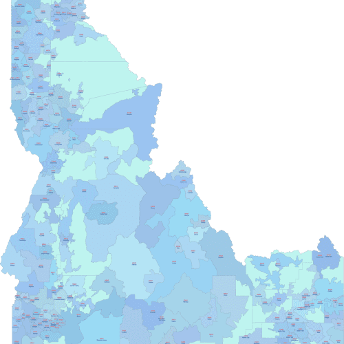
This colorful ZIP Code map of Idaho features each mappable 5-digit postal zone in a distinct shade. Beneath each ZIP Code, you’ll find the Primary City name, making it easy to connect ZIPs to familiar locations.
Only ZIP Codes with land area are shown — based on the latest U.S. Census boundaries.
☝️Codes used only for PO Boxes or without mappable geography are excluded.
ID ZIP Code Map With Cities Counties map is delivered in Adobe Illustrator and layered PDF formats and is perfect for logistics, customer mapping, or educational use.
Idaho ZIP Code Map With Cities Counties Editable in Adobe Illustrator and layered PDF, it’s ideal for detailed planning, administration, and mapping needs.
Examples include ZIP regions around Boise (83702–83709), Idaho Falls (83401), Twin Falls (83301), Pocatello (83201), Coeur d’Alene (83814).
Only logged in customers who have purchased this product may leave a review.
Related Products
Idaho ZIP Code Maps
Idaho ZIP Code Map With Cities
0 out of 5
17,50 $ – 20,00 $Price range: 17,50 $ through 20,00 $
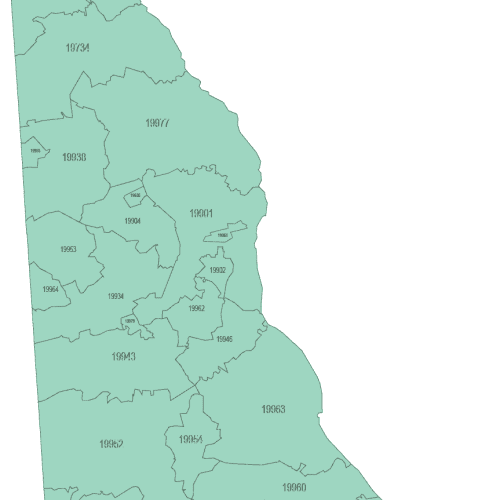
Delaware ZIP Code Maps
Delaware ZIP Code Map Basic
0 out of 5
8,00 $ – 10,00 $Price range: 8,00 $ through 10,00 $
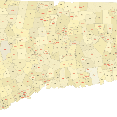
Connecticut ZIP Code Maps
Connecticut ZIP Code Map With Cities
0 out of 5
17,50 $ – 20,00 $Price range: 17,50 $ through 20,00 $
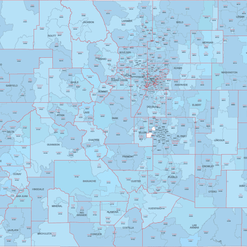
Colorado ZIP Code Maps
CO ZIP Code Map With Cities Counties
0 out of 5
22,50 $ – 25,00 $Price range: 22,50 $ through 25,00 $
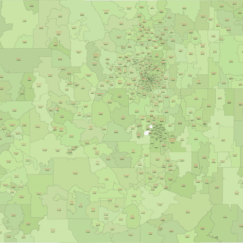
Colorado ZIP Code Maps
Colorado ZIP Code Map With Cities
0 out of 5
17,50 $ – 20,00 $Price range: 17,50 $ through 20,00 $
California ZIP Code Maps
California ZIP Code Map With Cities
0 out of 5
20,00 $ – 22,50 $Price range: 20,00 $ through 22,50 $

Reviews
There are no reviews yet.