IA ZIP Code Map With Cities Counties
22,50 $ – 25,00 $Price range: 22,50 $ through 25,00 $
AI customizable styling, scalabilityPDF cross-platform compatibility
- Description
- Reviews (0)
Description
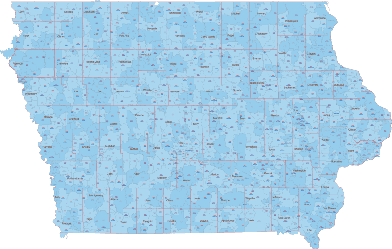
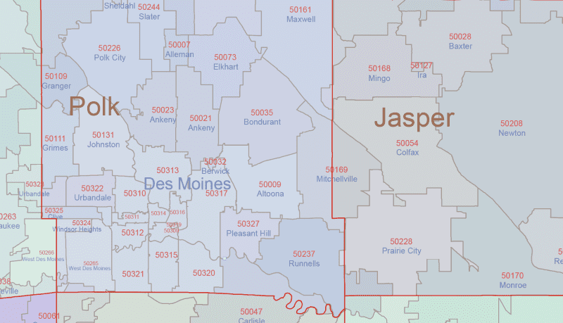
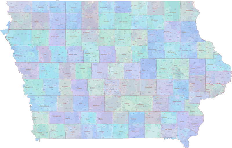
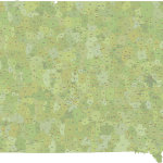
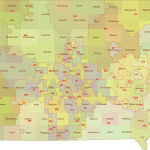
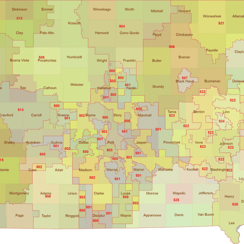
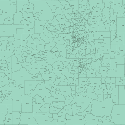
This edition adds county boundaries and names to the ZIP Code map of Iowa. Each ZIP is color-coded and labeled with its number and Primary City.
Based on U.S. Census data, only standard ZIP Codes with defined land area are shown.
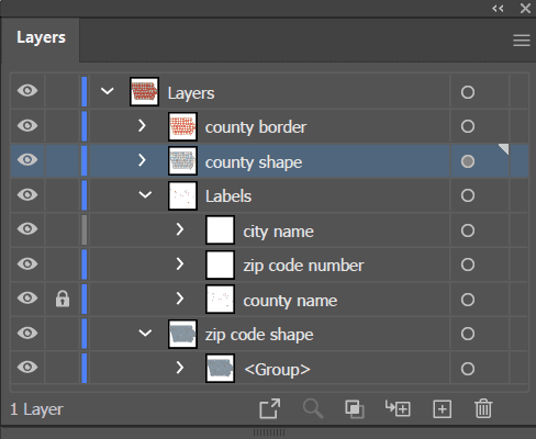
Editable in Adobe Illustrator and layered PDF, it’s ideal for detailed planning, administration, and mapping needs.
Examples include ZIP regions around Des Moines (50309), Cedar Rapids (52401), Davenport (52801), Sioux City (51101), Iowa City (52240).
📌There are several types of zip codes used in the United States:
-Standard Zip Codes: These are the most common type of zip codes and consist of five digits. They are used to efficiently deliver mail to a specific geographic location within the US.
-Extended Zip Codes: These are nine-digit zip codes that include the five-digit standard zip code and an additional four digits to identify a specific location, such as a building or a floor of a large office building.
-Military Zip Codes: These zip codes are used for APO/FPO (Army Post Office/Fleet Post Office) addresses for military personnel serving abroad.
-Unique Zip Codes: These zip codes are used for large organizations, universities, or government agencies with multiple buildings or locations. Each building or location within the organization has its own unique zip code.
-P.O. Box Zip Codes: These zip codes are used for post office box addresses, rather than a physical street address.
Iowa ZIP Code Map With Cities Counties
Only logged in customers who have purchased this product may leave a review.

Reviews
There are no reviews yet.