Guard your time. It's all you have. Naval Ravikant
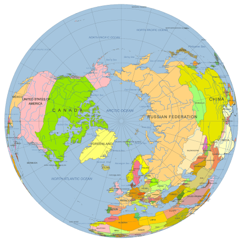
Europe Continent Focused Globe. Reference map
0 out of 5
12,00 $ – 15,00 $Price range: 12,00 $ through 15,00 $
Category: Globe Maps Tags: Earth, Europe continent, Globe, Graticules, Illustrator, PDF, Rotated vector Globe artwork, vector globe
AI customizable styling, scalabilityPDF cross-platform compatibility
- Description
- Reviews (0)
- Layers
Description
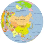
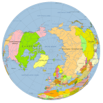
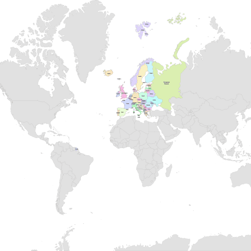
This high-quality vector globe features a Europe-centered view, tilted and rotated to 40°N, 0°W for a visually striking and geographically accurate perspective. Ideal for designers, educators, or researchers, the map includes clearly defined countries, graticules, rivers, and major waterbodies.
Professionally layered and color-coded, the files come in both Adobe Illustrator (.AI) and layered PDF formats, making it easy to customize or integrate into your projects.
Map Features of the Europe Continent Focused Globe
- Centered on North America (40°N, 0°W)
- Vector-based spherical globe design
- Includes:
- Country shapes
- Country names (editable text)
- Major rivers (line features)
- Waterbody shapes and names
- Ocean background shape
- Graticules (curved latitude/longitude lines)
- Color-coded for clarity and easy editing
File formats & sizes:
- Adobe Illustrator: 2.58 MB
- Layered PDF: 2.7 MB
Only logged in customers who have purchased this product may leave a review.
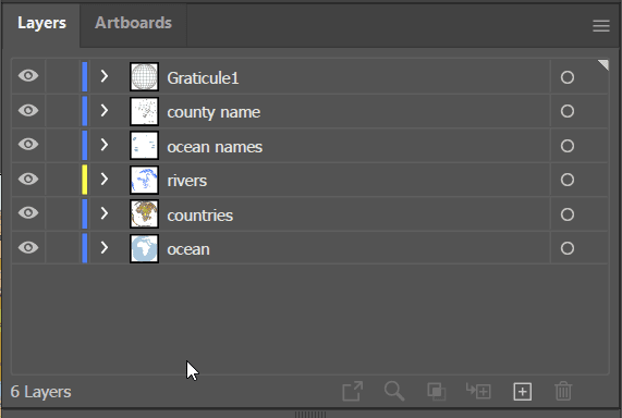
- ocean -shape,
- river – line
- graticules – curves
- country name- text
- waterbody name- text
Related Products
World Maps
Vector-world-map-Robinson-projection
0 out of 5
9,70 $ – 9,90 $Price range: 9,70 $ through 9,90 $
Globe Maps
Australia Rotated Globe Map – Bird’s Eye View Vector Map
0 out of 5
12,00 $ – 15,00 $Price range: 12,00 $ through 15,00 $
Globe Maps
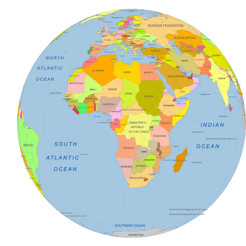
Africa Centered Vector Globe
0 out of 5
10,00 $ – 12,00 $Price range: 10,00 $ through 12,00 $


Reviews
There are no reviews yet.