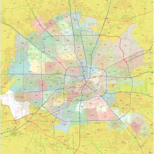
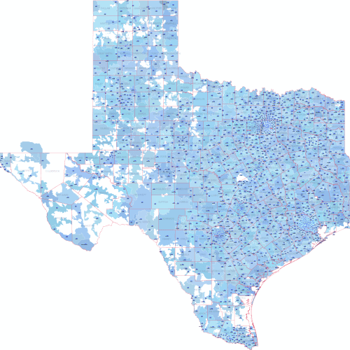
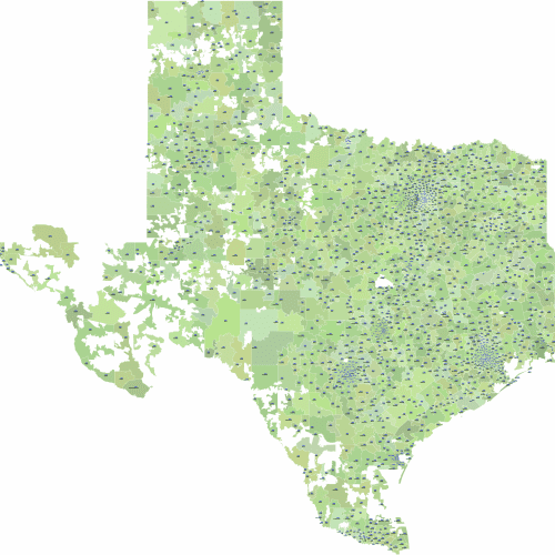
Description
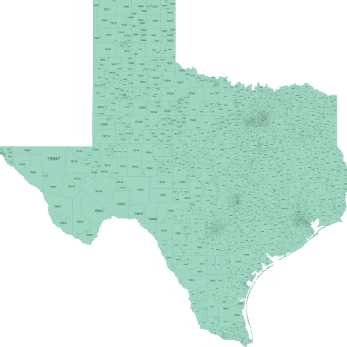
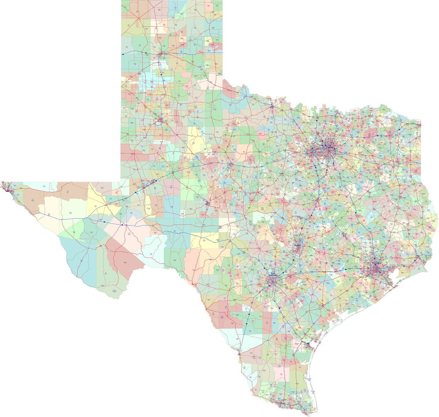
The most detailed Texas ZIP codes roads map. In addition to the 5-digit ZIP CODE, the primary city names are also included. Each field is marked with a different color for better clarity.
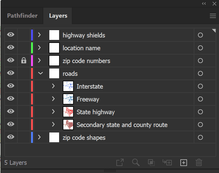
Major routes are marked in different colors, and highways, state roads, and secondary routes are on separate layers. A total of 7 separate layers help edit the Adobe Illustrator file.
File size: 21 MB
Layers:
- highway shields
- location name
- zip code number
- roads
- interstate
- freeway
- state highway
- secondary state and county route
- zip code shape
Zoom on the map
Only logged in customers who have purchased this product may leave a review.


Reviews
There are no reviews yet.