
Guard your time. It's all you have. Naval Ravikant


Related Products
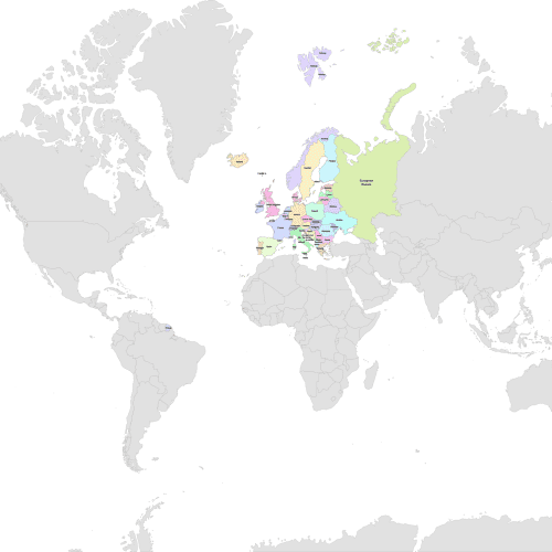
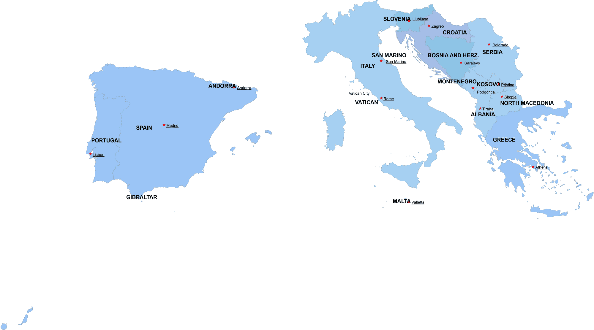
Europe Detailed Map
Price range: 8,00 $ through 10,00 $
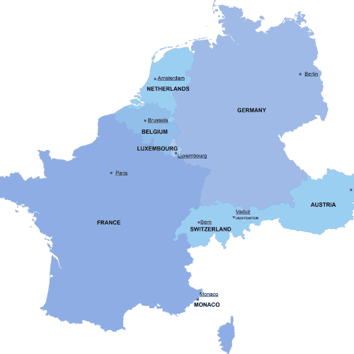
Western-Europe digital map
Price range: 8,00 $ through 10,00 $
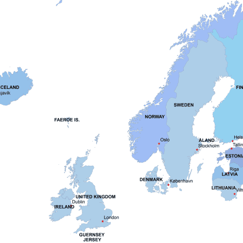
Northern-Europe-digital-map
Price range: 8,00 $ through 10,00 $
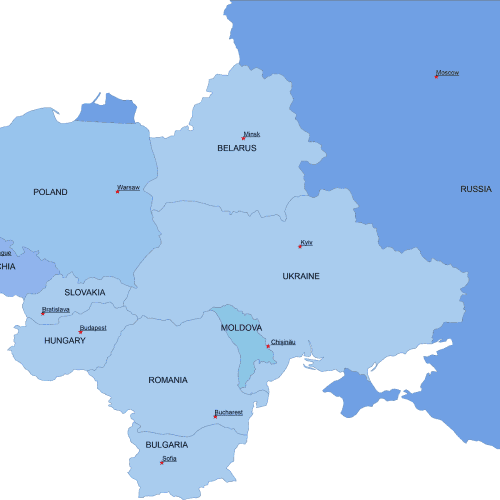
Eastern-Europe-digital-map
Price range: 8,00 $ through 10,00 $
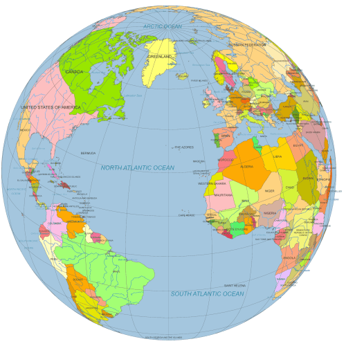
Vector Globe North America to Europe
Price range: 12,00 $ through 15,00 $
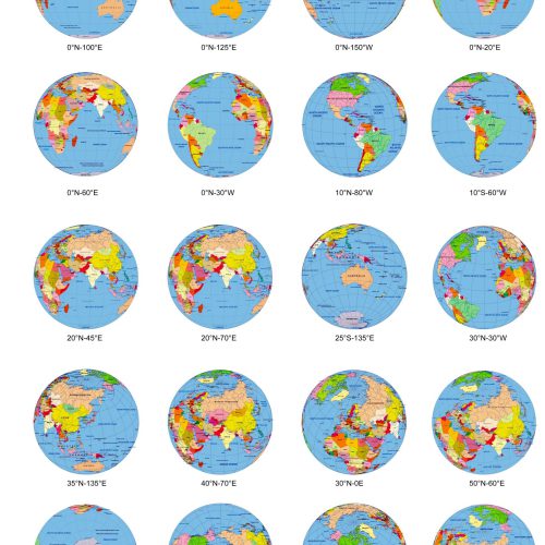
20 colored Globe from Space, in different angle.
Original price was: 95,00 $.75,00 $Current price is: 75,00 $.
Reviews
There are no reviews yet.