Post code map of North Carolina


North Carolina digital map
Click to enlarge
Array

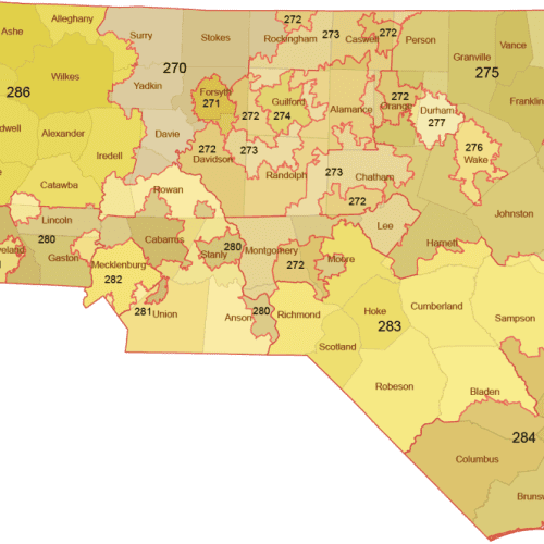
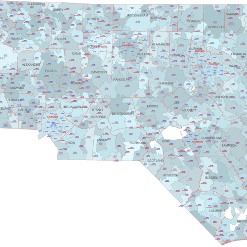
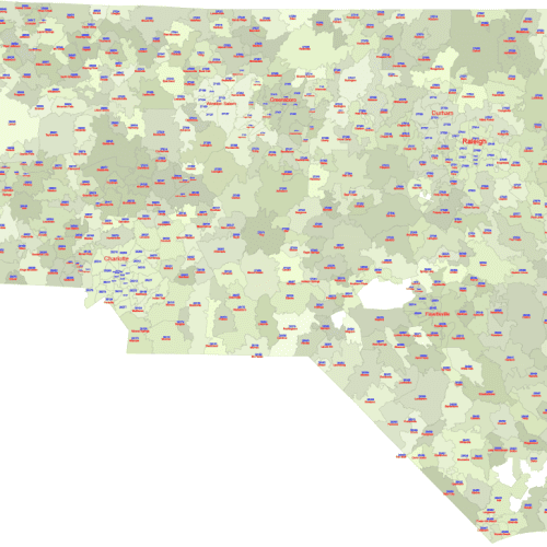
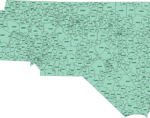
Post code map of North Carolina or zip code map of NC.


post_code_map_of_north _carolina

Preview Of Nc 5-Digit Zip-Code Map With Primary City Name.

File formats


Post code map of North Carolina available in Illustrator standard file format. North Carolina state zip code map is the latest U.S. It was created on the basis of the Census database.
Making the map was difficult because recently the Census Bureau only deals with the zip code area, not the names of the primary cities. This could be achieved with another excel file attachment. The finished maps are available in PDF and Illustrator AI formats.

Zip code types

We distinguish between 4 types of zip codes

  • Unique address: Big organizations like Hospitals, universities, Government agencies and businesses that receive a lot of mails use unique zip codes.
  • PO Box only
  • Military
  • Standard (all other ZIP codes).
    The map here contains only the standard type, the one that is not point-like, but has an extension, covering a larger area.

Display of densely populated areas


If the individual numbers cover a very small area, then listing the name of the primary city is neither justified nor advisable. Instead, we marked the areas under one locality with the same color and displayed the name of the city only once. See the picture.
In such cases, we have always manually adjusted the zip code font size to the size of the area so that they are displayed correctly.

Post code map of North Carolina

The Regions for Each ZIP Code

0
Connecticut (CT), Massachusetts (MA), Maine (ME), New Hampshire (NH), New Jersey (NJ), New York (NY, Fishers Island only), Puerto Rico (PR), Rhode Island (RI), Vermont (VT), Virgin Islands (VI),
1 – Delaware (DE), New York (NY), Pennsylvania (PA)
2 – District of Columbia (DC), Maryland (MD), Post code map of North Carolina (NC), South Carolina (SC), Virginia (VA), West Virginia (WV)
3 – Alabama (AL), Florida (FL), Georgia (GA), Mississippi (MS), Tennessee (TN)
4 – Indiana (IN), Kentucky (KY), Michigan (MI), Ohio (OH)
5 – Iowa (IA), Minnesota (MN), Montana (MT), North Dakota (ND), South Dakota (SD), Wisconsin (WI)
6 – Illinois (IL), Kansas (KS), Missouri (MO), Nebraska (NE)
7 – Arkansas (AR), Louisiana (LA), Oklahoma (OK), Texas (TX)
8 – Arizona (AZ), Colorado (CO), Idaho (ID), New Mexico (NM), Nevada (NV), Utah (UT), Wyoming (WY)
9 – Alaska (AK), American Samoa (AS), California (CA), Guam (GU), Hawaii (HI), 

Other NC map: County map,

The Post code map of North Carolina  file in vector format enable the user organise level of structuring of map.
A vector file (ai, pdf) has flexible tools for displaying elements of maps
- you can discrete or arbitrary scaling map
- performing group operation with selected features
- changing the orders of displaying layers
- switching in/off displaying os any layers
- changing attributes of selected object ( recolour, modify outline thick, transparency, symbols)
- adding or changing features of any items, (i.e. font type)
- copying and moving particular shapes
- merging different shapes (i.e. counties)
- adding, removing cartography symbols

For editing ai, pdf file use the most common Adobe Illustrator (version 10 or higher) or CorelDRAW (version 10 or higher). If you don't have Adobe Illustrator or Corel you can choose
free open source Inkscape - 57 MB -(Windows, Mac, Linux platform ) or Scribus (Windows, Mac, Linux (54 MB)

Top