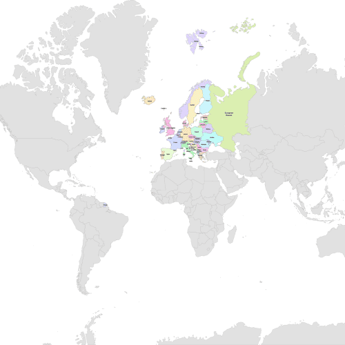
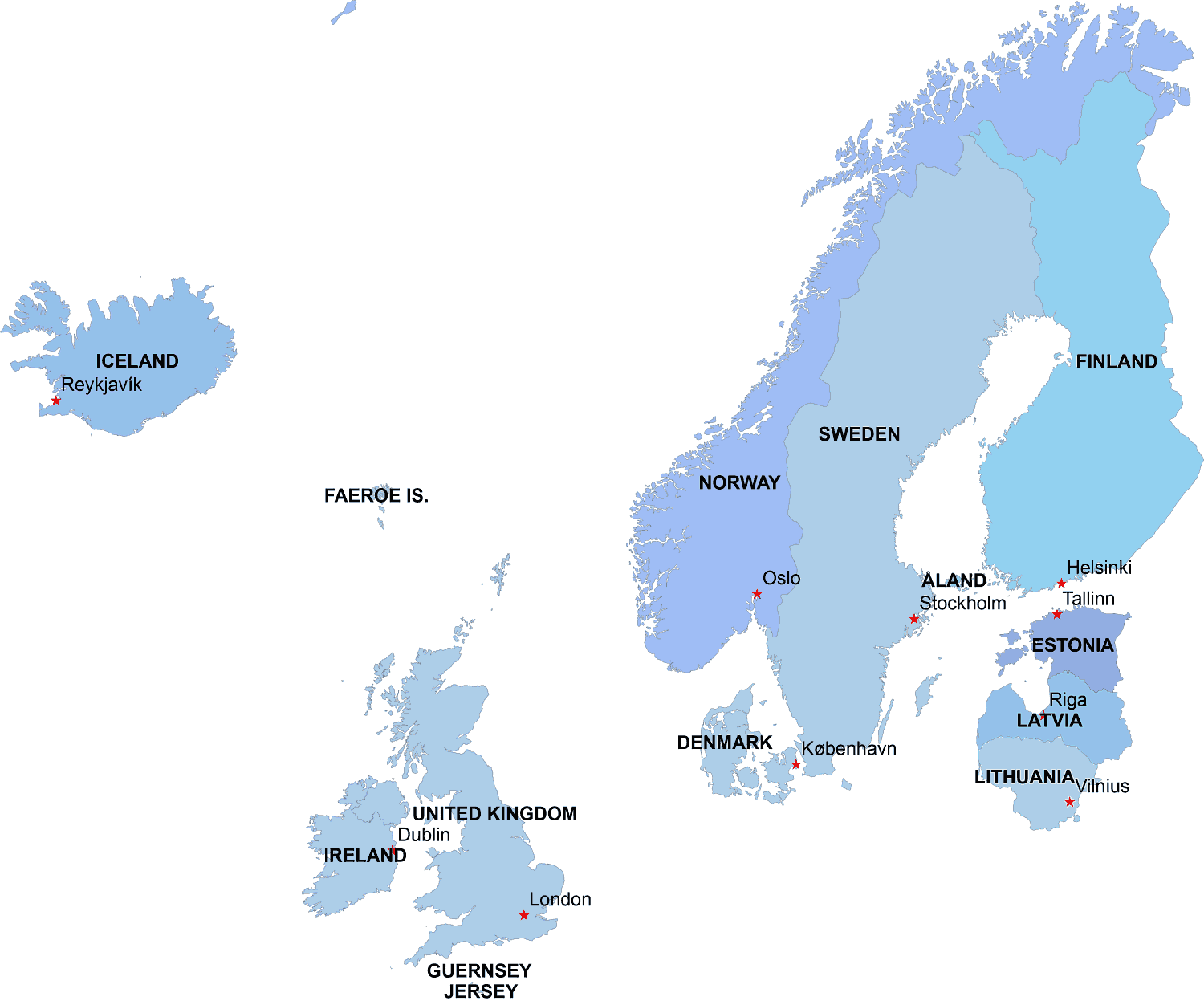
Northern Europe digital map


Click to enlarge
Array

Northern Europe digital map is available in both PDF and Adobe Illustrator formats. It is a layered vector file that includes the countries of Iceland, Faeroe Island, Norway, Sweden, Finland, Denmark, Estonia, Latvia, Lithuania, Ireland, United Kingdom, Jersey Island.

The map features clearly defined borders and indicates the capitals of each country. The vector format allows for easy customization and editing of the map as per your requirements.

EPS files of countries

Northern Europe digital map
Northern Europe Digital Map

Iceland

Area: total: 103,000 sq km
land: 100,250 sq km
water: 2,750 sq km
Land boundaries:0 km
Costline:4,970 km

United Kingdom

Area:total: 244,820 sq km
land: 241,590 sq km
water: 3,230 sq km
note: includes Rockall and Shetland Islands
Land boundaries:total: 360 km
border countries: Ireland 360 km
Coastline:12,429 km

Norway

Area:total: 323,802 sq km
land: 307,442 sq km
water: 16,360 sq km
Land boundaries:total: 2,542 km
border countries: Finland 727 km, Sweden 1,619 km, Russia 196 km


The Northern Europe digital map  file in vector format enable the user organise level of structuring of map.
A vector file (ai, pdf) has flexible tools for displaying elements of maps
- you can discrete or arbitrary scaling map
- performing group operation with selected features
- changing the orders of displaying layers
- switching in/off displaying os any layers
- changing attributes of selected object ( recolour, modify outline thick, transparency, symbols)
- adding or changing features of any items, (i.e. font type)
- copying and moving particular shapes
- merging different shapes (i.e. counties)
- adding, removing cartography symbols

For editing ai, pdf file use the most common Adobe Illustrator (version 10 or higher) or CorelDRAW (version 10 or higher). If you don't have Adobe Illustrator or Corel you can choose
free open source Inkscape - 57 MB -(Windows, Mac, Linux platform ) or Scribus (Windows, Mac, Linux (54 MB)

Top