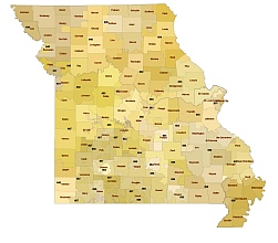
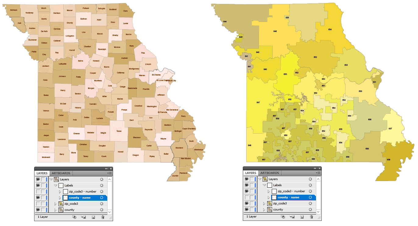
Missouri three-digit ZIP code vector map available in 3 file formats: ai, pdf, SVG.
The file contains 4 layers. The county and 3-digit zip code map are superimposed. Make one of the layers semi-transparent and it will be easy to explore borders. Missouri state numbers are listed between 630 and 659. The largest settlement in Springfield Green. The city of Saint Louis is similarly large.
List of Missouri state counties
Adair County, Andrew County, Atchison County, Audrain County, Barry County, Barton County
Bates County, Benton County, Bollinger County, Boone County, Buchanan County, Butler County, Caldwell County, Callaway County, Camden County, Cape Girardeau County, Carroll County, Carter County, Cass County, Cedar County, Chariton County, Christian County, City Of St Louis County, Clark County, Clay County, Clinton County, Cole County, Cooper County, Crawford County, Dade County, Dallas County, Daviess County, Dekalb County, Dent County, Douglas County, Dunklin County, Franklin County, Gasconade County, Gentry County, Greene County, Grundy County, Harrison County, Henry County, Hickory County, Holt County, Howard County, Howell County, Iron County, Jackson County, Jasper County, Jefferson County, Johnson County, Knox County, Laclede County, Lafayette County, Lawrence County, Lewis County, Lincoln County, Linn County, Livingston County, Macon County, Madison County, Maries County, Marion County, Mcdonald County, Mercer County, Miller County, Mississippi County, Moniteau County, Monroe County, Montgomery County, Morgan County, New Madrid County, Newton County, Nodaway County, Oregon County, Osage County, Ozark County, Pemiscot County, Perry County, Pettis County, Phelps County, Pike County, Platte County, Polk County, Pulaski County, Putnam County, Ralls County, Randolph County, Ray County, Reynolds County, Ripley County, Saline County, Schuyler County, Scotland County, Scott County, Shannon County, Shelby County, St Charles County, St Clair County, St Francois County, St Louis County, Ste Genevieve County,Stoddard County, Stone County, Sullivan County, Taney County, Texas County, Vernon County, Warren County, Washington County, Wayne County, Webster County, Worth County, Wright County,
About 3 digit zip code US Post
The Missouri three-digit ZIP code vector map file in vector format enable the user organise level of structuring of map.
A vector file (ai, pdf) has flexible tools for displaying elements of maps
- you can discrete or arbitrary scaling map
- performing group operation with selected features
- changing the orders of displaying layers
- switching in/off displaying os any layers
- changing attributes of selected object ( recolour, modify outline thick, transparency, symbols)
- adding or changing features of any items, (i.e. font type)
- copying and moving particular shapes
- merging different shapes (i.e. counties)
- adding, removing cartography symbols
For editing ai, pdf file use the most common Adobe Illustrator (version 10 or higher) or CorelDRAW (version 10 or higher). If you don't have Adobe Illustrator or Corel you can choose
free open source Inkscape - 57 MB -(Windows, Mac, Linux platform ) or Scribus (Windows, Mac, Linux (54 MB)


