Guard your time. It's all you have. Naval Ravikant
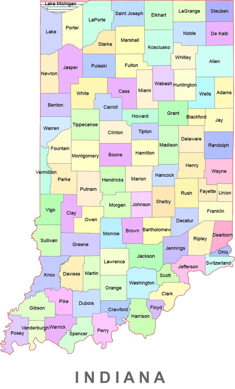
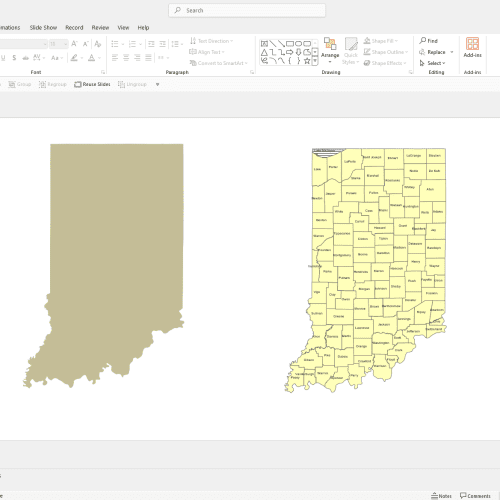
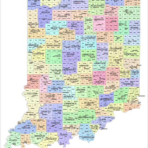
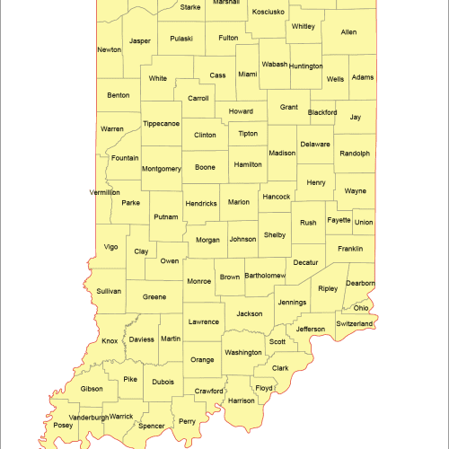
Indiana Colored County Map
0 out of 5
8,00 $ – 12,00 $Price range: 8,00 $ through 12,00 $
Category: Indiana IN
AI customizable styling, scalabilityPDF cross-platform compatibility
- Description
- Reviews (0)
Description
Indiana Colored County Map: High-quality, fully editable vector map of Indiana, AI, and a Layered PDF file. Instant download.
Using Adobe Illustrator Standard files for maps in the webshop ensures:
1. Scalability Without Quality Loss – Illustrator files (AI, EPS, or SVG formats) are vector-based, meaning they can be resized infinitely without pixelation. This is crucial for maps, as users may need them at various scales.
2. Professional Print Quality – Vector files maintain sharp lines and precise details, making them ideal for high-resolution printing on posters, brochures, or large-scale signage.
3. Editability & Customization – AI files allow designers to easily modify elements such as colors, labels, and layers, providing flexibility for customization.
4. Compatibility with Design Software – Adobe Illustrator is an industry standard, ensuring seamless integration with other professional design tools used for printing, web, or digital marketing.
5 . Layered Structure – Maps often contain multiple layers (roads, landmarks, topography), which can be adjusted separately in Illustrator, making editing more efficient.
If you don’t have Adobe Illustrator, there are several alternatives to open and edit AI Indiana Colored Vector County Map files:
Free & Paid Alternatives:
Inkscape (Free, Open Source) – A great alternative for editing vector files, though it may not support all Illustrator features.
Affinity Designer (Paid, One-time Purchase) – A powerful Illustrator competitor with good AI file support.
CorelDRAW (Paid) – Can handle AI files and is often used for vector design.
Gravit Designer (Free & Paid) – A web-based vector editor that can open AI files.
GIMP (Free) – Can open AI files, but only as rasterized images (not editable as vectors).
Only logged in customers who have purchased this product may leave a review.
Related Products
Indiana IN
Indiana Road and City Map
0 out of 5
42,00 $ – 45,00 $Price range: 42,00 $ through 45,00 $
Indiana IN
Indiana County and Communities Map
0 out of 5
22,00 $ – 25,00 $Price range: 22,00 $ through 25,00 $

Reviews
There are no reviews yet.