Guard your time. It's all you have. Naval Ravikant
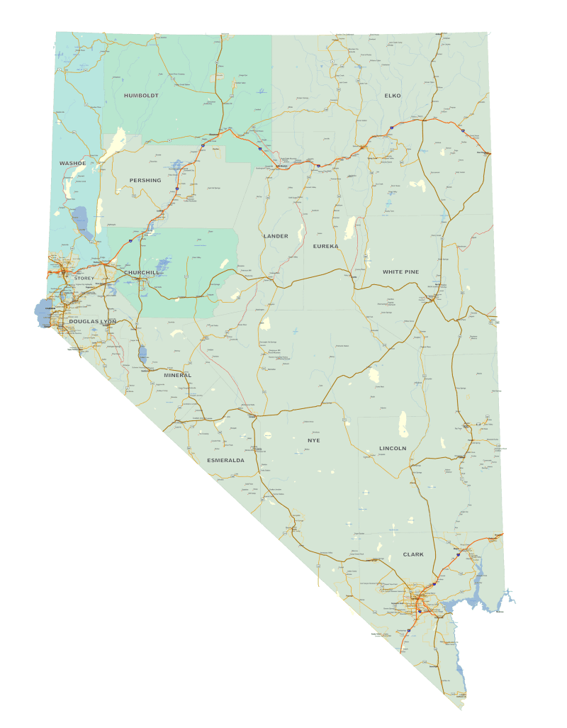
Detailed Nevada Map
0 out of 5
39,90 $ – 45,00 $Price range: 39,90 $ through 45,00 $
Category: Nevada NV
AI customizable styling, scalabilityPDF cross-platform compatibility
- Description
- Reviews (0)
Description
Detailed Nevada Map Set– Adobe Illustrator & Layered PDF
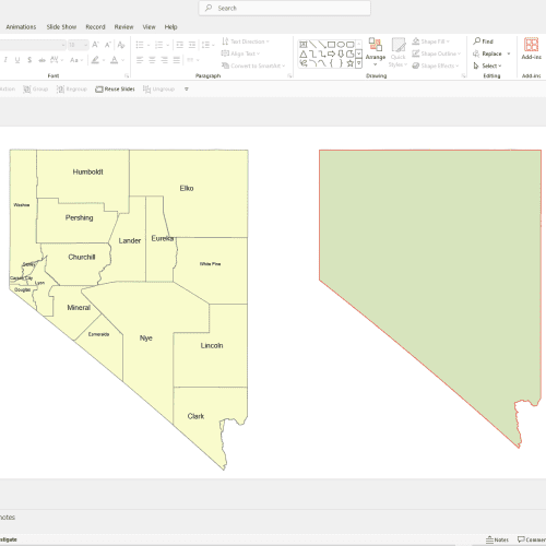
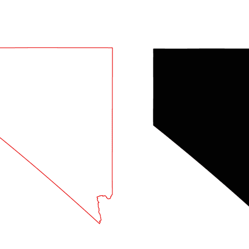
Explore Nevada with precision using this professionally crafted, high-resolution map set available in both Adobe Illustrator and layered PDF formats. This product includes two versions of the map—one focused solely on the state of Nevada (with surrounding states masked out), making it ideal for presentations, regional planning, and print.
Both maps are based on UTM Zone 11 projection, centered in Central Nevada, ensuring accurate geographic detail and alignment.
Detailed Nevada Map Features and Layers:
- Full Nevada counties with shapes and names
- Populated places including lesser-known areas like Mustang Ranch, Ramsey Station, and Moapa Valley
- Cities over 1,000 population clearly marked
- Urban areas and regional community boundaries
- Road networks with different road types color-coded for easy identification
- Detailed hydrography, including rivers, streams (as lines), and water bodies (as shapes)
- Highway shields for U.S. routes, state highways, and interstates
This level of detail goes beyond major cities to include small, often overlooked communities such as:
Virginia City Highlands, Fiddlers Green, Keystone Junction, Eastland Heights, Lemmon Valley, and many more.
Perfect for cartographers, designers, urban planners, and researchers who need a deep, editable vector map of Nevada with geographic clarity and rich place name data.
Only logged in customers who have purchased this product may leave a review.
Related Products
Nevada NV
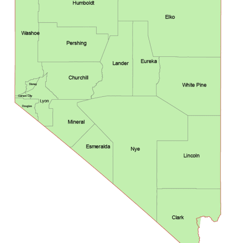
Nevada and Surrounding States
0 out of 5
49,90 $ – 59,00 $Price range: 49,90 $ through 59,00 $
Nevada NV
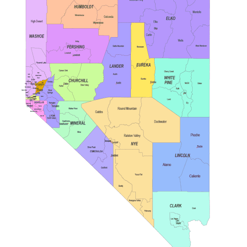
Nevada County and Communities Map
0 out of 5
14,90 $ – 19,90 $Price range: 14,90 $ through 19,90 $
Nevada NV
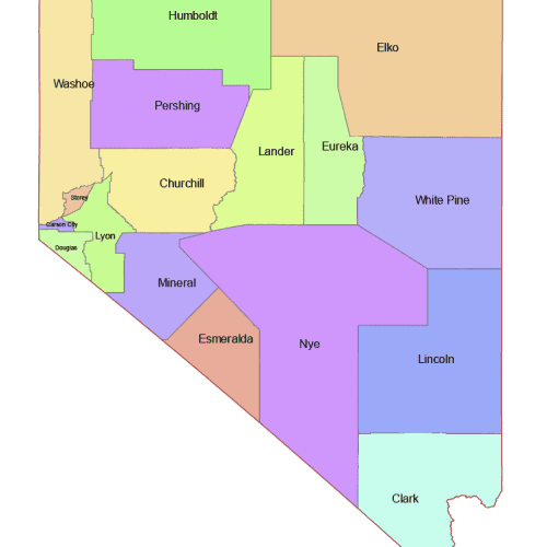
Nevada Colored County Map
0 out of 5
10,00 $ – 12,00 $Price range: 10,00 $ through 12,00 $

Reviews
There are no reviews yet.