Guard your time. It's all you have. Naval Ravikant
Arizona ZIP Code Maps
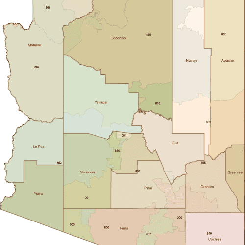
Arizona 3-Digit ZIP Code Map with Counties
0 out of 5
10,00 $ – 12,00 $Price range: 10,00 $ through 12,00 $
Arizona ZIP Code Maps
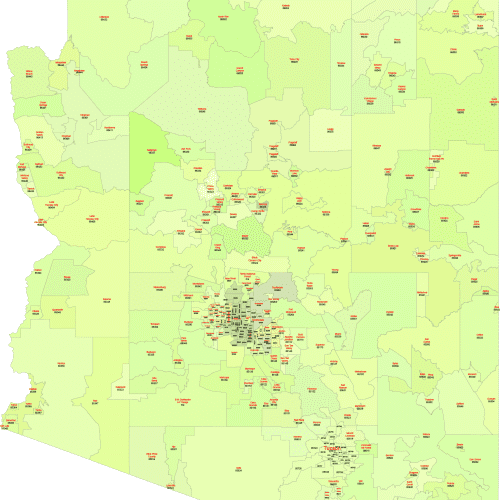
Arizona ZIP Code Map With Cities
0 out of 5
17,50 $ – 20,00 $Price range: 17,50 $ through 20,00 $
Arizona ZIP Code Maps
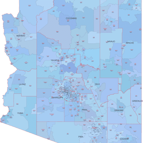
AZ ZIP Code Map Cities and Counties
0 out of 5
22,50 $ – 25,00 $Price range: 22,50 $ through 25,00 $
Arizona ZIP Code Maps
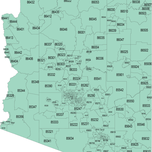
Arizona Zip Code map
0 out of 5
12,00 $ – 15,00 $Price range: 12,00 $ through 15,00 $
Explore professionally designed Arizona ZIP Code maps in three versatile formats — a basic monocolor version, a colorful map with Primary City labels, and a detailed edition featuring city names, county borders, and county names.
Each map is based on official U.S. Census boundary data and delivered in fully editable Adobe Illustrator and layered PDF formats for high-resolution use across digital or print projects.
These maps include only standard ZIP Codes with physical geographic areas. ZIP Codes assigned solely to PO Boxes or unique-use cases without mappable boundaries are not shown.
Coverage spans the entire state, including metro areas like Phoenix and Tucson as well as smaller communities and rural counties — perfect for planning, sales mapping, data visualization, and more.


