Guard your time. It's all you have. Naval Ravikant
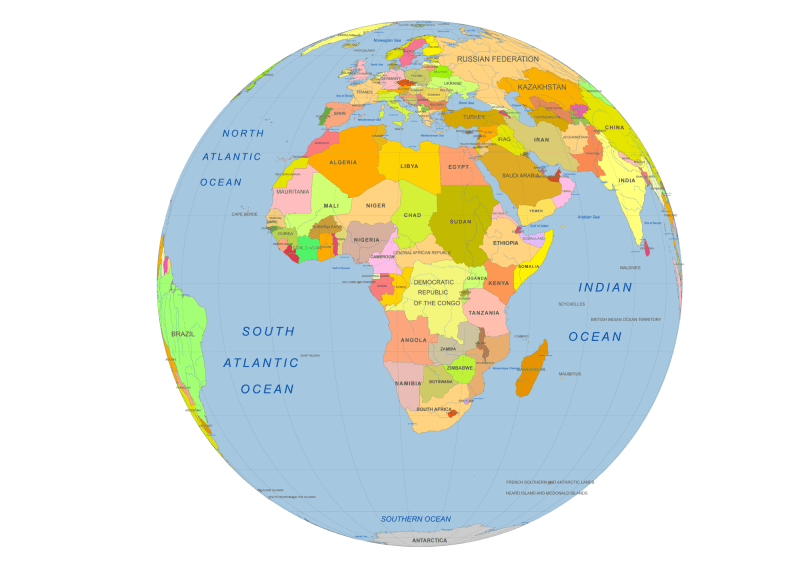
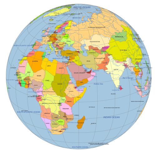
Africa Centered Vector Globe
0 out of 5
10,00 $ – 12,00 $Price range: 10,00 $ through 12,00 $
Category: Globe Maps Tag: Africa countries
AI customizable styling, scalabilityPDF cross-platform compatibility
- Description
- Reviews (0)
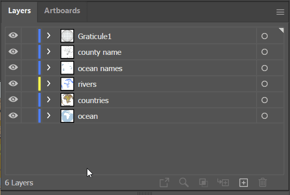
- Layers2
Description
If you were floating in space directly above the equator at 0° North, 20° East, this is how you’d see the world—centered on Africa, with a sweeping view of the surrounding continents and oceans. This colored vector reference map offers a unique bird’s-eye perspective of the globe with Africa at its heart.
The layered Africa Centered Vector Globe vector map includes:
- Oceans (shapes)
- Rivers (lines)
- Countries (shapes)
- Graticules (curved latitude/longitude lines)
- Country names (text)
- Waterbody names (text)
File formats included:
- Adobe Illustrator (.AI) – 3 MB, fully editable
- Layered PDF – 2.6 MB, high-resolution and print-ready
Ideal for infographics, educational materials, polar studies, and design projects needing a distinctive global perspective.
Only logged in customers who have purchased this product may leave a review.
asdfjkléasdfjlkmasdfjklé,asfjklésdf
Related Products
Globe Maps
Near East Focused Colored Globe With Countries
0 out of 5
12,00 $ – 15,00 $Price range: 12,00 $ through 15,00 $
Globe Maps
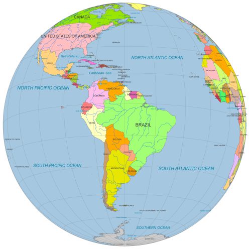
South America Globe Map PDF
0 out of 5
12,00 $ – 15,00 $Price range: 12,00 $ through 15,00 $
Globe Maps
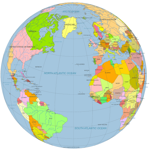
Vector Globe North America to Europe
0 out of 5
12,00 $ – 15,00 $Price range: 12,00 $ through 15,00 $
Globe Maps
Colored vector Globe. Southeast Asia focused
0 out of 5
12,00 $ – 15,00 $Price range: 12,00 $ through 15,00 $
Globe Maps
20 different views of Earth Globe. AI, PDF
0 out of 5
45,00 $ – 59,00 $Price range: 45,00 $ through 59,00 $

Reviews
There are no reviews yet.