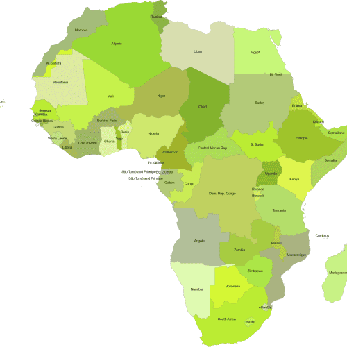
Countries of Africa by Subregions
10,00 $ – 12,00 $Price range: 10,00 $ through 12,00 $
AI customizable styling, scalabilityPDF cross-platform compatibility
- Description
- Reviews (0)
Description
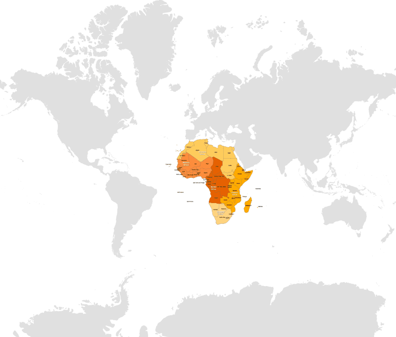
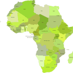
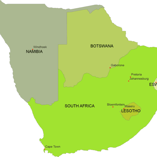
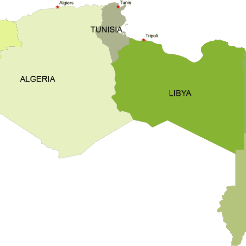
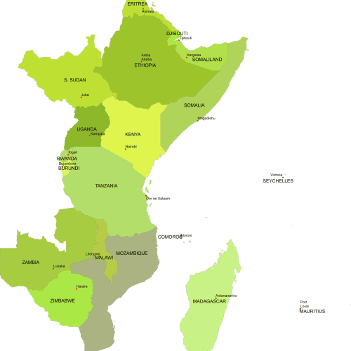
Countries of Africa by Subregions map visually represents Africa, with each region distinguished by different colors and the country names clearly labeled.
The map includes the following regions:
Northern Africa:
Algeria, Egypt, Libya, Morocco, Sudan, Tunisia, Western Sahara
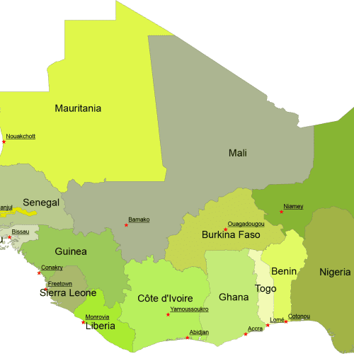
Western Africa
Benin, Burkina Faso, Cape Verde, Côte d’Ivoire, Gambia, Ghana, Guinea, Guinea-Bissau, Liberia, Mali, Mauritania, Niger, Nigeria, Senegal, Sierra Leone, Togo
Middle Africa (Central Africa)
Angola, Cameroon, Central African Republic, Chad, Republic of the Congo, Democratic Republic of the Congo, Equatorial Guinea, Gabon, São Tomé and Príncipe
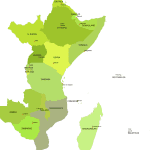
Eastern Africa
Burundi, Comoros, Djibouti, Eritrea, Ethiopia, Kenya, Madagascar, Malawi, Mauritius, Mozambique, Rwanda, Seychelles, Somalia, South Sudan, Tanzania, Uganda, Zambia, Zimbabwe
Southern Africa
Botswana, Eswatini (Swaziland), Lesotho, Namibia, South Africa
Only logged in customers who have purchased this product may leave a review.

Reviews
There are no reviews yet.