Western-Europe digital map
0 out of 5
8,00 $ – 10,00 $Price range: 8,00 $ through 10,00 $
Category: Europe
AI customizable styling, scalabilityPDF cross-platform compatibility
- Description
- Reviews (0)
Description
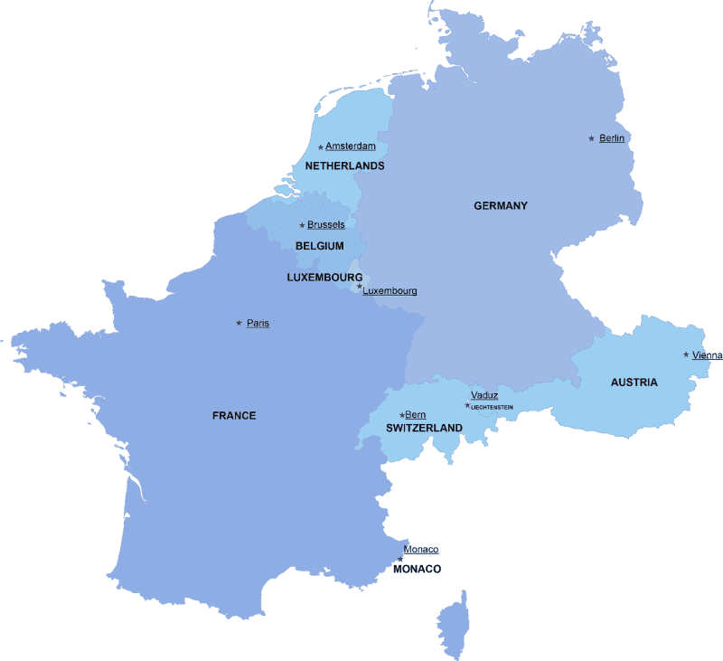
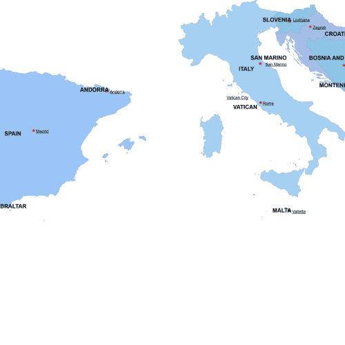
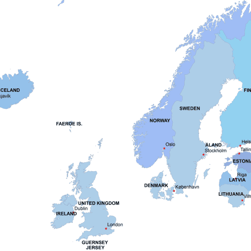
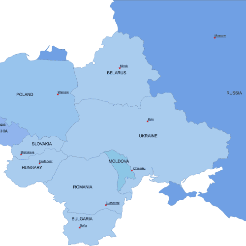
Western-Europe digital map shows the neighborhoods of nine countries in an editable vector format. Each country is represented in varying shades of blue, while a star marks the capitals of these nations, along with their names. The map is created using the Web Mercator projection.
Core Western European Countries
- Austria – Vienna
- Belgium – Brussels
- France – Paris
- Germany – Berlin
- Liechtenstein – Vaduz
- Luxembourg – Luxembourg City
- Monaco – Monaco
- Netherlands – Amsterdam
- Switzerland – Bern
Only logged in customers who have purchased this product may leave a review.

Reviews
There are no reviews yet.