World Relief Vector Map
0 out of 5
14,50 $ – 15,00 $Price range: 14,50 $ through 15,00 $
Category: World Maps
Tags: borderlines, Countries, oceans, relief map, sea depth, world map
AI customizable styling, scalabilityPDF cross-platform compatibility
- Description
- Reviews (0)
Description
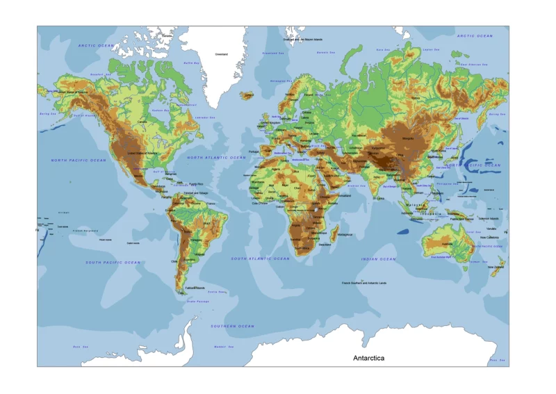
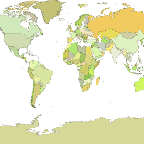
- On the world-relief-vector-map marked with brown-green colours the high and blue shades, the depth of the world oceans. The borders and names of the countries are still visible. World relief vector map is an elevation map in 2 files formats: Adobe Illustrator and layered PDF.
Layers: - country name
- ocean name
- outline
- boundary line
- river line
- +4000
- +3000
- +2000
- +1000
- 0
- – 1000
- -2000
- -3000
Only logged in customers who have purchased this product may leave a review.
Related Products
World Maps
Black-filled-world-vector-map
0 out of 5
9,80 $ – 9,90 $Price range: 9,80 $ through 9,90 $
World Maps
Vector World Map With Names
0 out of 5
19,70 $ – 19,90 $Price range: 19,70 $ through 19,90 $
World Maps
Vector-world-map-Robinson-projection
0 out of 5
9,70 $ – 9,90 $Price range: 9,70 $ through 9,90 $

Reviews
There are no reviews yet.