Colorado Zip Code Map Basic . Adobe Illustrator (2022) and Layered PDF file. Data sourced from the U.S. Census.
Price:$12-15
Colorado Zip Code Map Basic
12,00 $ – 15,00 $Price range: 12,00 $ through 15,00 $
AI customizable styling, scalabilityPDF cross-platform compatibility
- Description
- Reviews (0)
Description
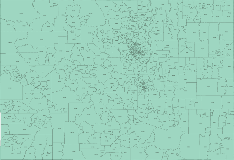
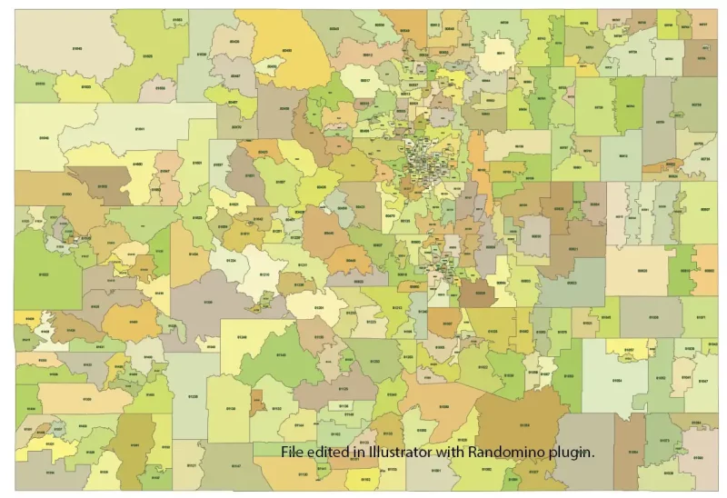
This monocolor ZIP Code map of Colorado displays every 5-digit postal zone that has a defined land area. It uses a schematic layout showing just the ZIP boundaries — clean and uncluttered — with no city or county names.
The map is based on official U.S. Census data and includes only standard ZIP Codes with geographic boundaries. PO Box-only or unique-use ZIPs without physical land area are not shown.
Delivered in editable Adobe Illustrator and layered PDF formats, this Colorado ZIP Code map is ideal for simple visualization, internal reports, or custom graphic overlays.
Coverage spans the entire state, including ZIPs like Denver (80202), Colorado Springs (80903), Fort Collins (80521), Pueblo (81001), Grand Junction (81501).
Only logged in customers who have purchased this product may leave a review.

Reviews
There are no reviews yet.