Home
maplover2025-11-14T20:38:53+01:00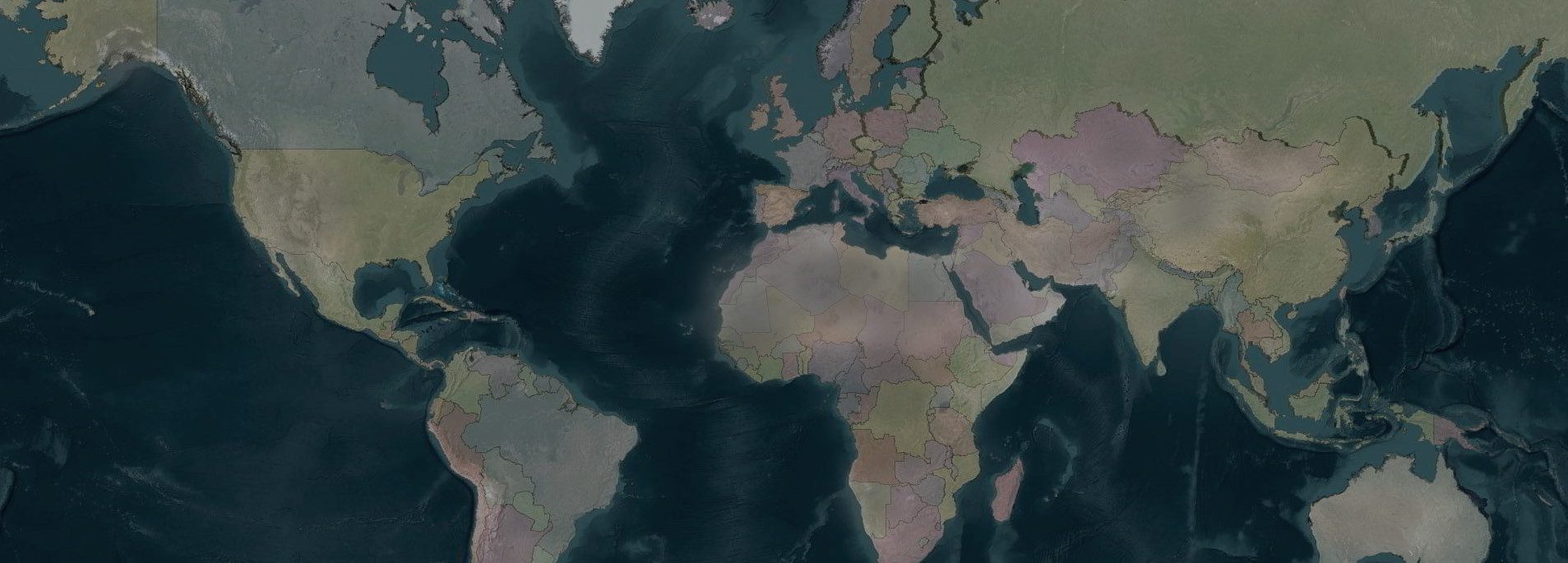
Explore the world through precision vector maps. Our webshop offers detailed, layered maps of countries, states, ZIP codes, and more — ready for design, print, or analysis. Download vector maps instantly in Adobe Illustrator and PDF formats, and save time with maps that are accurate, editable, and beautifully crafted for every project.ide selection of U.S. vector maps in layered Adobe Illustrator and PDF formats — instant downloads.

Featured Products
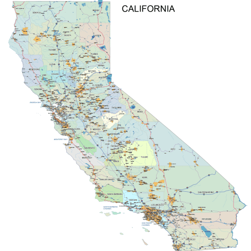
California CA
California Road and City Map
0 out of 5
40,00 $ – 45,00 $Price range: 40,00 $ through 45,00 $
USA
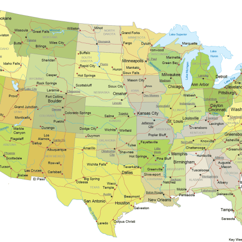
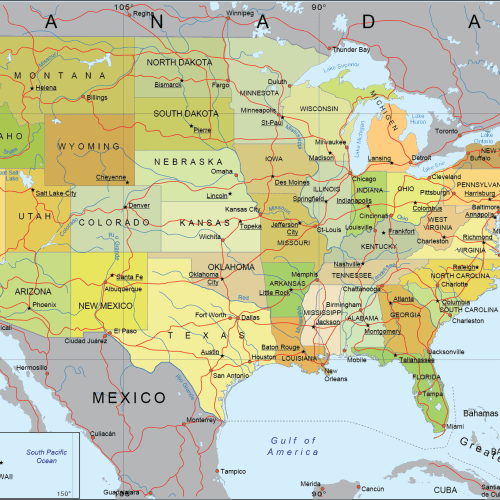
Internal US Map with Roads and Capitals
0 out of 5
17,90 $ – 19,90 $Price range: 17,90 $ through 19,90 $
Michigan ZIP Code Maps
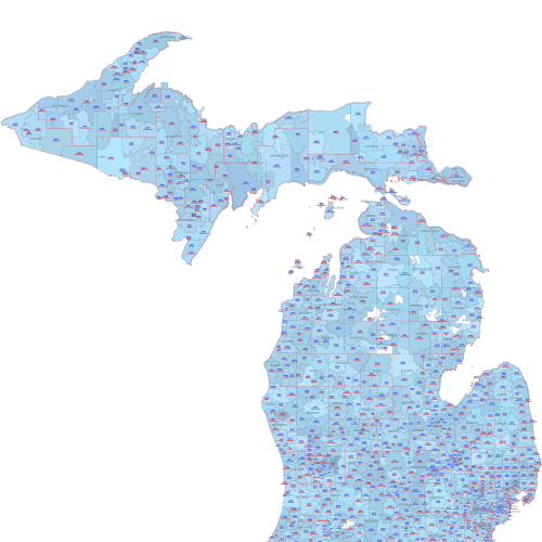
Michigan ZIP Code City County Map
0 out of 5
22,50 $ – 25,00 $Price range: 22,50 $ through 25,00 $
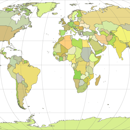
World map collection ✦
World Maps
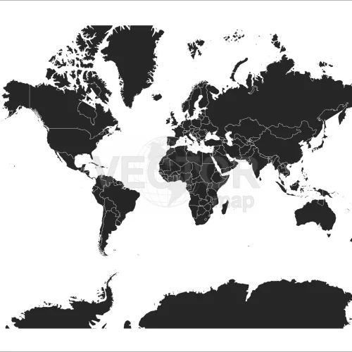
Black-filled-world-vector-map
0 out of 5
9,80 $ – 9,90 $Price range: 9,80 $ through 9,90 $
World Maps
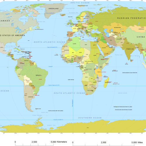
Vector World Map With Names
0 out of 5
19,70 $ – 19,90 $Price range: 19,70 $ through 19,90 $
World Maps
Vector-world-map-Robinson-projection
0 out of 5
9,70 $ – 9,90 $Price range: 9,70 $ through 9,90 $
City maps
Layers
- Scalbar
- Route signs
- Airports - text
- City areas -text
- Parks names -text
- Landmarks - text
- zip codes - text
- Street names -text
- Zip codes - polygon
- Streests - polylines
- Airports - polygones
- City areas - polygons
- Waterbody- polygons
- Parks - polygons
- City Areas - polygons
- Zip codes - polygons

User-friendly vector layers (16 layers)
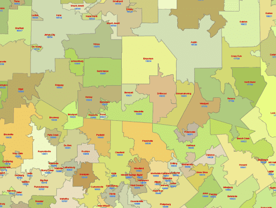
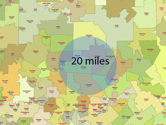
✦ WIDE VARIETY OF US MAPS
State map
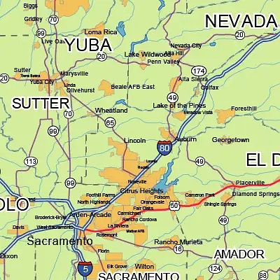
City map
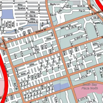
County map
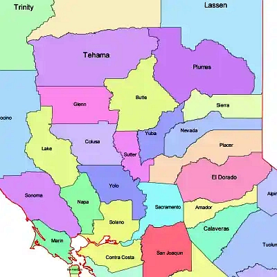
3 digit zip code map
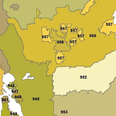
5 digit zip code map
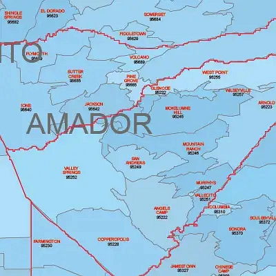
Region map
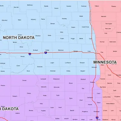
Couty subdvisions map
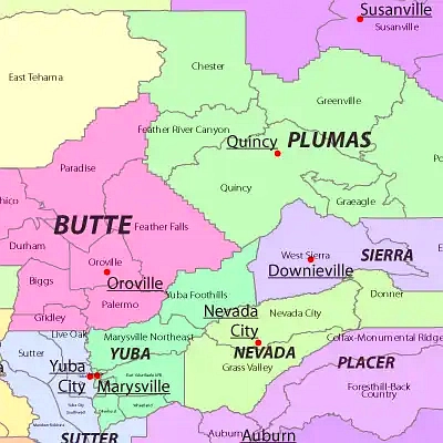
PowerPoint map
