Arlington-Virginia Vector Map
45,00 $
AI customizable styling, scalabilityPDF cross-platform compatibility
- Description
- Reviews (0)
Description
Arlington-Virginia Vector map – Adobe Illustrator Format with Washington, D.C. Zones, Zip Codes & Local Landmarks
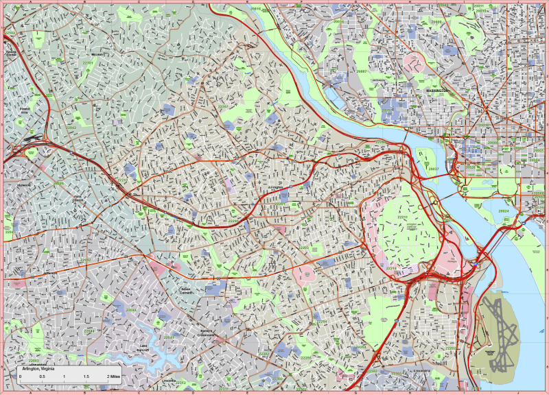
This professionally designed vector map of Arlington, Virginia, extends into nearby Washington, D.C. neighborhoods and surrounding areas. Covering 68 square miles, this scalable Adobe Illustrator file is ideal for professionals needing precision, clean vector structure, and editable geographic layers.
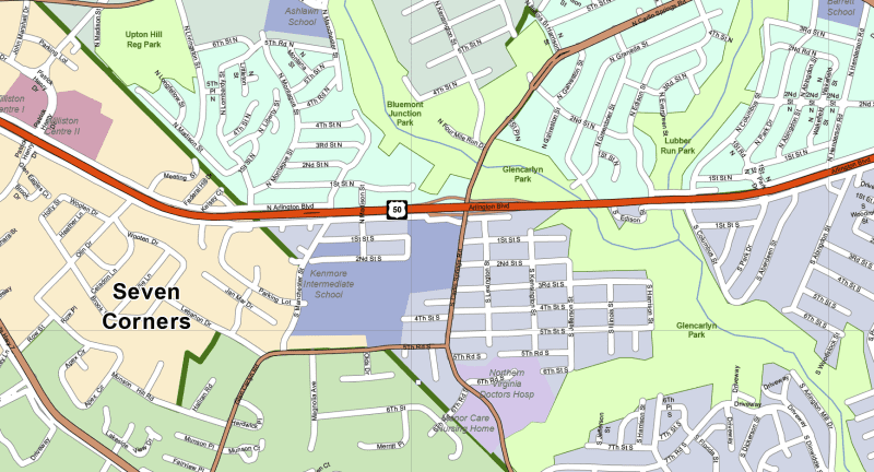
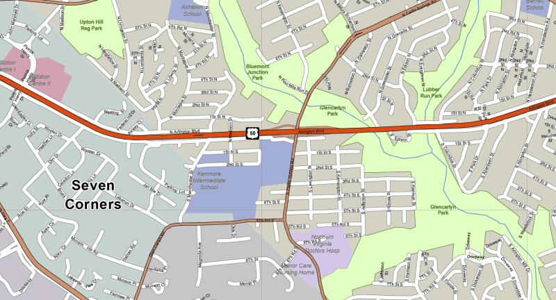
The map includes 17 organized, fully editable layers, detailing road networks, zip code boundaries, natural features, and civic landmarks—great for planning, zoning, presentations, or custom graphic design work.
Map Features:
✅ 17 Custom Illustrator Layers Include:
- Route signs: highways, expressways, and major arterials
- Fully labeled streets (polylines) and zip codes
- City areas and neighborhood zones (editable polygons and live text)
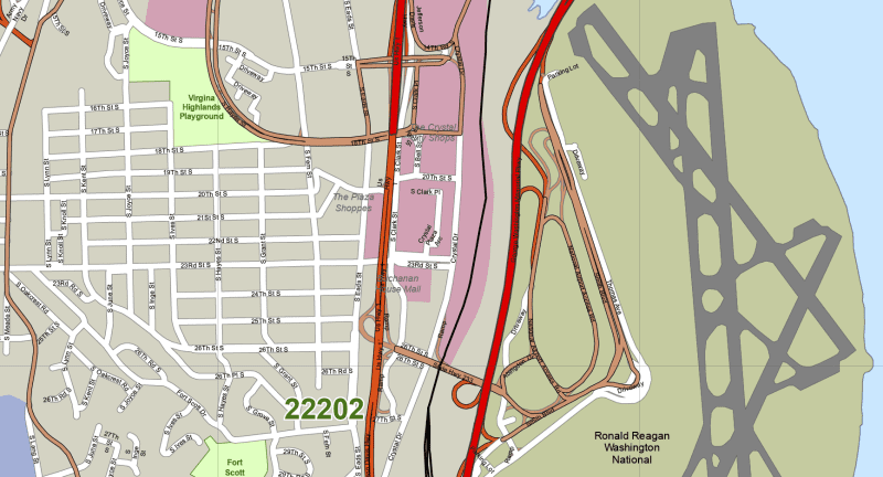
- Landmarks: airports, hospitals, parks, schools, golf courses, shopping centers
- Water bodies, rivers, and island zones
- Editable text for city names, zip codes, and public points of interest
✅ Areas & Neighborhoods Covered:
Includes detailed mapping of key Arlington and D.C. areas:
- Arlington Core: Crystal City, Pentagon City, Rosslyn, Columbia Island
- Virginia Surrounding Areas: McLean, West Falls Church, Falls Church, Seven Corners, Lake Barcroft
- Washington, D.C. Zones: Downtown, Georgetown, Columbia Heights, Palisades, Woodley Park
✅ Technical Map Details:
- File Format: Adobe Illustrator (.AI)
- Compatible with Illustrator 2022+
- File Size: ~11 MB
- Fully vectorized, color-coded, and editable
- Accurate layering and clean design system
Ideal For:
✔️ City and urban planners
✔️ D.C. area developers and real estate teams
✔️ Custom signage or GIS visualizations
✔️ Government, nonprofit, or educational mapping projects
🔹 Meta Description (for SEO):
Download an editable vector map of Arlington, Virginia, with Washington, D.C. zones. Adobe Illustrator format includes 17 layers with streets, zip codes, Crystal City, Georgetown, and more.
Arlington map HI-RES image
Only logged in customers who have purchased this product may leave a review.

Reviews
There are no reviews yet.