Chandler-Arizona Vector Map
45,00 $
AI customizable styling, scalabilityPDF cross-platform compatibility
- Description
- Reviews (0)
Description
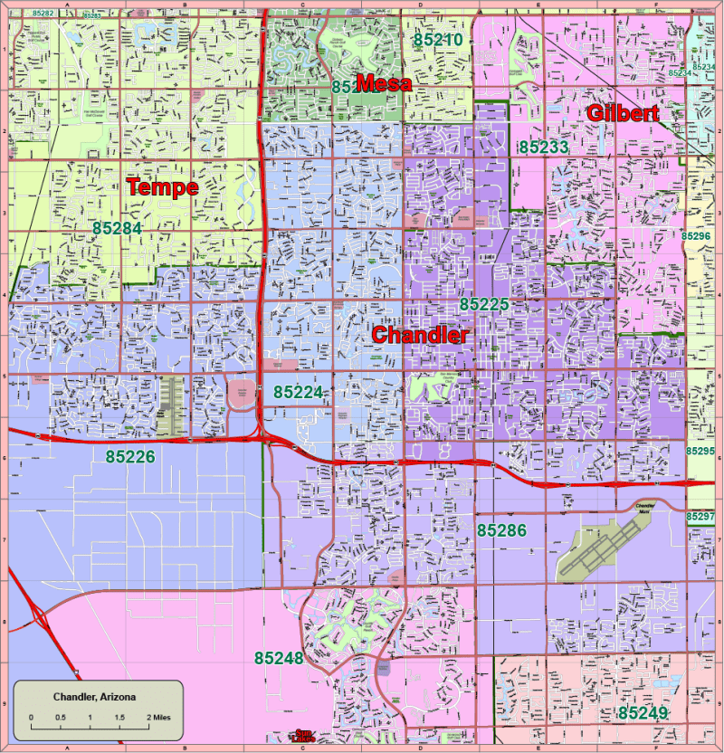
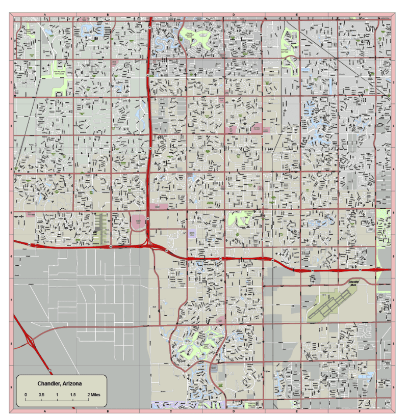
Editable Vector Map of Chandler, AZ – Adobe Illustrator Format with Zip Codes, Streets & City Landmarks
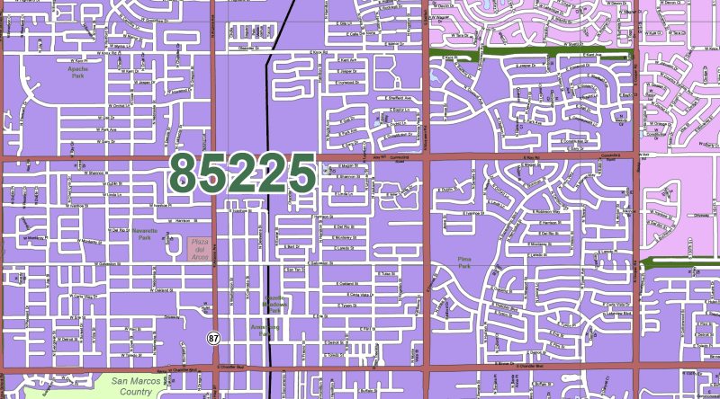
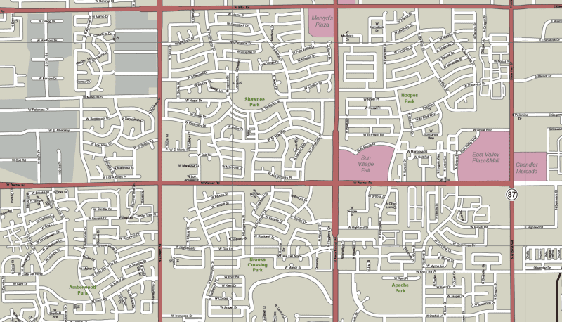
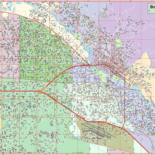
This detailed and fully editable vector map of Chandler, Arizona, is crafted for use in Adobe Illustrator 2022. Spanning 104 square miles, this map includes local streets, neighborhoods, zip code boundaries, and major landmarks—perfect for planners, designers, and city development professionals.
Organized into 17 distinct, editable layers, this map includes customizable features such as public buildings, water features, zip zones, parks, schools, and transportation routes.
Map Features:
✅ 17 Organized Vector Layers
- Local and state route signs
- Streets and highways (polylines)
- Parks, rivers, and streams (text and vector)
- City areas and zip codes (text + polygon boundaries)
- Landmarks: schools, hospitals, golf clubs, recreation areas
- Chandler Municipal Airport (polygon and text)
- Live text labels for easy customization
✅ Neighborhoods & Local Areas Included:
This map highlights the most important areas within and around Chandler, AZ, including:
- South Tempe, Woodglen, Gilbert, The Islands, Strongate Crossing, Downtown Chandler, San Marcos Estates, West Chandler, Helena, Tempe Royal Palms, Province Master Community, Chandler Municipal Airport, Sun River, Monterrey Point II, Siena, Mesa
✅ Technical Details:
- Format: Adobe Illustrator (.AI)
- Illustrator Version: 2022+
- File Size: ~9 MB
- All vector elements fully scalable and editable
- Clean, color-coded layers for easy navigation
Ideal For:
✔️ Urban planners and GIS teams
✔️ Real estate marketing and presentations
✔️ Graphic designers and educators
✔️ App, web, and signage development
🔹 Meta Description (for SEO):
Download an editable vector map of Chandler, Arizona in Adobe Illustrator format. Includes 17 layers with roads, zip codes, Chandler Municipal Airport, neighborhoods like Gilbert & South Tempe.
HI-RES IMAGE OF MAP
Only logged in customers who have purchased this product may leave a review.

Reviews
There are no reviews yet.